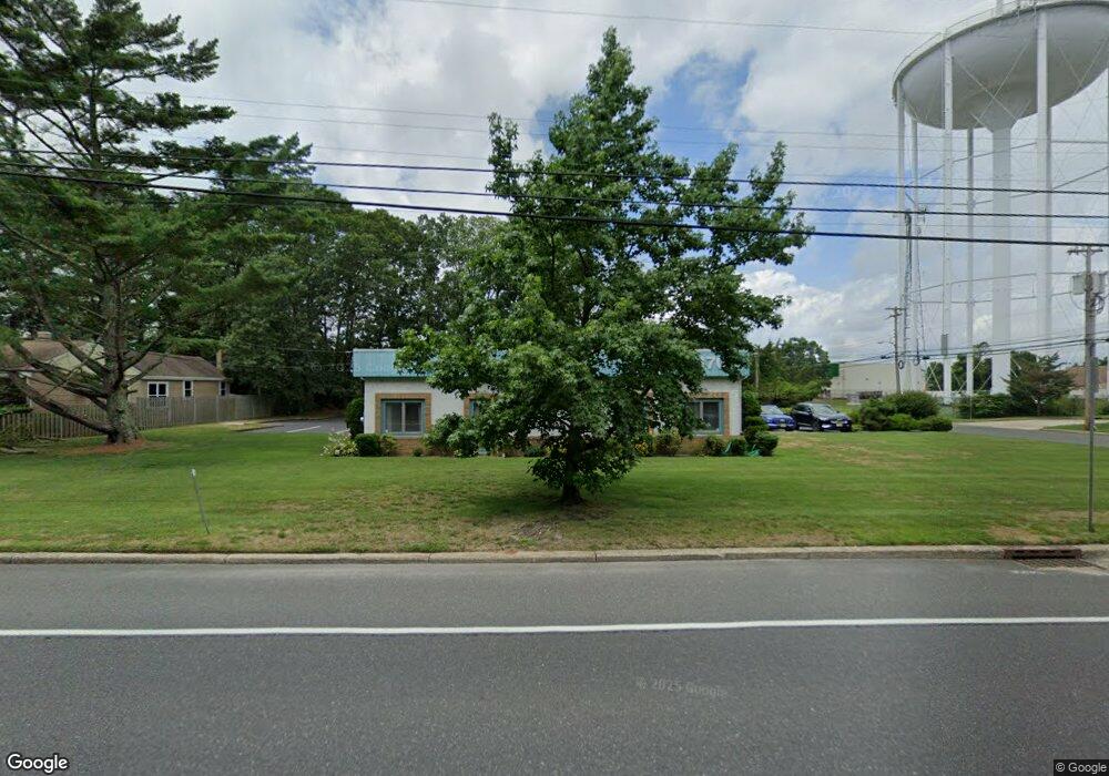
1701 New Rd Linwood, NJ 08221
Estimated Value: $560,000 - $755,000
--
Bed
--
Bath
1,748
Sq Ft
$367/Sq Ft
Est. Value
About This Home
This home is located at 1701 New Rd, Linwood, NJ 08221 and is currently estimated at $641,178, approximately $366 per square foot. 1701 New Rd is a home with nearby schools including Seaview Elementary School, Belhaven Middle School, and Mainland Regional High School.
Ownership History
Date
Name
Owned For
Owner Type
Purchase Details
Closed on
Oct 21, 1998
Sold by
Bates Thomas F and Bates Jean G
Bought by
Broome Henry G
Current Estimated Value
Purchase Details
Closed on
Apr 20, 1995
Sold by
Sagransky David M and Sagransky Patricia A
Bought by
Sagransky David M
Purchase Details
Closed on
Oct 31, 1991
Sold by
Sagransky David M
Bought by
Sagransky David M and Sagransky Patricia A
Create a Home Valuation Report for This Property
The Home Valuation Report is an in-depth analysis detailing your home's value as well as a comparison with similar homes in the area
Home Values in the Area
Average Home Value in this Area
Purchase History
| Date | Buyer | Sale Price | Title Company |
|---|---|---|---|
| Broome Henry G | $165,000 | Commonwealth Land Title Ins | |
| Sagransky David M | -- | -- | |
| Sagransky David M | -- | -- |
Source: Public Records
Tax History Compared to Growth
Tax History
| Year | Tax Paid | Tax Assessment Tax Assessment Total Assessment is a certain percentage of the fair market value that is determined by local assessors to be the total taxable value of land and additions on the property. | Land | Improvement |
|---|---|---|---|---|
| 2025 | $12,971 | $340,000 | $270,200 | $69,800 |
| 2024 | $12,971 | $340,000 | $270,200 | $69,800 |
| 2023 | $12,369 | $340,000 | $270,200 | $69,800 |
| 2022 | $12,369 | $340,000 | $270,200 | $69,800 |
| 2021 | $12,260 | $340,000 | $270,200 | $69,800 |
| 2020 | $12,090 | $340,000 | $270,200 | $69,800 |
| 2019 | $11,832 | $340,000 | $270,200 | $69,800 |
| 2018 | $11,567 | $340,000 | $270,200 | $69,800 |
| 2017 | $11,336 | $340,000 | $270,200 | $69,800 |
| 2016 | $10,955 | $340,000 | $270,200 | $69,800 |
| 2015 | $10,965 | $340,000 | $270,200 | $69,800 |
| 2014 | $10,540 | $514,600 | $320,200 | $194,400 |
Source: Public Records
Map
Nearby Homes
- 1714 New Rd
- 9 Catalina Dr Unit 9
- 209 Belhaven Ave
- 4 Princeton Ln
- 102 Morris Ave
- 11 Carrann Ln
- 1610 Shore Rd
- 7 Woodstock Dr
- 1930 Shore Rd
- 103 E Patcong Ave
- 1610 Woodlynne Blvd
- 110 E Seaview Ave
- 108 Holly Ln
- 1016 Richard Dr
- 1111 Furman Dr
- 110 E Patcong Ave
- 1011 New Rd
- 118 Kirklin Ave
- 112 Kirklin Ave
- 202 Rosemarie Dr
- 1703 New Rd
- 505 Hamilton Ave
- 409 Hamilton Ave
- 408 Joseph Ave
- 432 Hamilton Ave
- 1601 New Rd
- 407 Hamilton Ave
- 411 Joseph Ave
- 420 Hamilton Ave
- 406 Joseph Ave
- 540A Hamilton Ave
- 540 Hamilton Ave
- 540 Hamilton Ave Unit D
- 540 Hamilton Ave Unit C
- 540 Hamilton Ave Unit B
- 540 Hamilton Ave Unit A
- 409 Joseph Ave
- 405 Hamilton Ave
- 501 W Patcong Ave
- 404 Joseph Ave