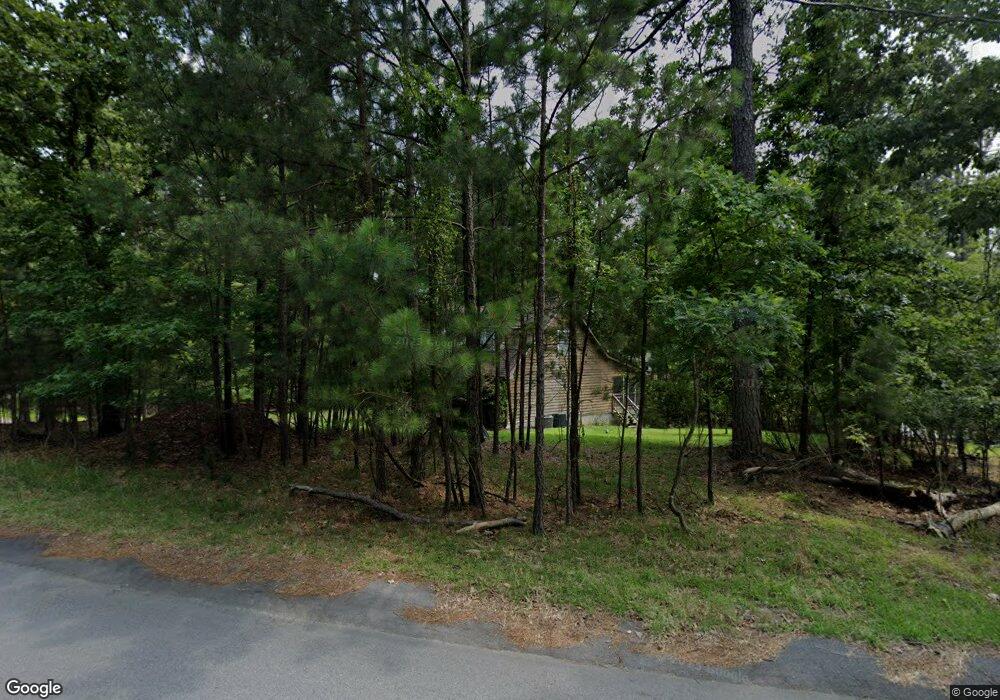
1701 Taylor Dr Gilbert, SC 29054
Estimated Value: $719,736 - $794,000
4
Beds
4
Baths
3,280
Sq Ft
$232/Sq Ft
Est. Value
About This Home
This home is located at 1701 Taylor Dr, Gilbert, SC 29054 and is currently estimated at $760,684, approximately $231 per square foot. 1701 Taylor Dr is a home located in Lexington County with nearby schools including Centerville Elementary School, Gilbert Middle School, and Gilbert High School.
Ownership History
Date
Name
Owned For
Owner Type
Purchase Details
Closed on
May 15, 2025
Sold by
Sellers Linda and Hubbard Melissa
Bought by
Rennie Joshua and Rennie Amy
Current Estimated Value
Home Financials for this Owner
Home Financials are based on the most recent Mortgage that was taken out on this home.
Original Mortgage
$719,000
Outstanding Balance
$716,449
Interest Rate
6.64%
Mortgage Type
New Conventional
Estimated Equity
$44,235
Purchase Details
Closed on
Nov 11, 1999
Sold by
Lex Water Power Co
Bought by
Hubbard Melissa
Create a Home Valuation Report for This Property
The Home Valuation Report is an in-depth analysis detailing your home's value as well as a comparison with similar homes in the area
Home Values in the Area
Average Home Value in this Area
Purchase History
| Date | Buyer | Sale Price | Title Company |
|---|---|---|---|
| Rennie Joshua | $723,990 | None Listed On Document | |
| Hubbard Melissa | $94,000 | -- |
Source: Public Records
Mortgage History
| Date | Status | Borrower | Loan Amount |
|---|---|---|---|
| Open | Rennie Joshua | $719,000 |
Source: Public Records
Tax History
| Year | Tax Paid | Tax Assessment Tax Assessment Total Assessment is a certain percentage of the fair market value that is determined by local assessors to be the total taxable value of land and additions on the property. | Land | Improvement |
|---|---|---|---|---|
| 2024 | $10,857 | $20,329 | $9,900 | $10,429 |
| 2023 | $10,081 | $20,329 | $9,900 | $10,429 |
| 2022 | $9,695 | $20,329 | $9,900 | $10,429 |
| 2020 | $9,750 | $20,329 | $9,900 | $10,429 |
| 2019 | $9,546 | $19,249 | $9,240 | $10,009 |
| 2018 | $9,479 | $19,249 | $9,240 | $10,009 |
| 2017 | $9,320 | $19,249 | $9,240 | $10,009 |
| 2016 | $9,030 | $19,248 | $9,240 | $10,008 |
| 2014 | $8,054 | $18,520 | $8,386 | $10,134 |
| 2013 | -- | $18,520 | $8,390 | $10,130 |
Source: Public Records
Map
Nearby Homes
- 1633 Barracks Dr
- 1459 Bombing Range Rd
- 180 Lillian St
- 1233 Shull Island Rd
- 1305 Rock Island Rd
- 1148 Shull Island Rd
- 417 Dot Ct
- 157 Collins Cove Dr
- 0 Misty Cir Unit 566318
- 870 Shore Rd
- 115 Pointe Overlook Dr
- 604 Wisteria Key Place
- 249 Pointe Overlook Dr
- 102 Royal Ct
- 1628 Deep Cove Ln
- 120 Magnolia Key Dr
- 404 Jasmine Key Ln
- 506 Timberlake Dr
- 148 Pintail Lake Dr
- 0 Counts Ferry Rd Unit LOT 5
- 1637 Taylor Dr
- 1717 Taylor Dr
- 1753 Taylor Dr
- 1629 Taylor Dr
- 1721 Taylor Dr
- 1759 Taylor Dr
- 1811 Williams Dr
- 1631 Taylor Dr
- 1605 Taylor Dr
- 1811 Taylor Dr
- 0 Evelyn St Unit 214518
- 0 Evelyn St Unit 266193
- 0 Evelyn St Unit 329415
- 1535 Shull Ave
- 1814 Taylor Dr
- 1646 Shull Ave
- 1815 Evelyn St
- 1805 John Cir
- 1626 Shull Ave
- 1817 Evelyn St
Your Personal Tour Guide
Ask me questions while you tour the home.