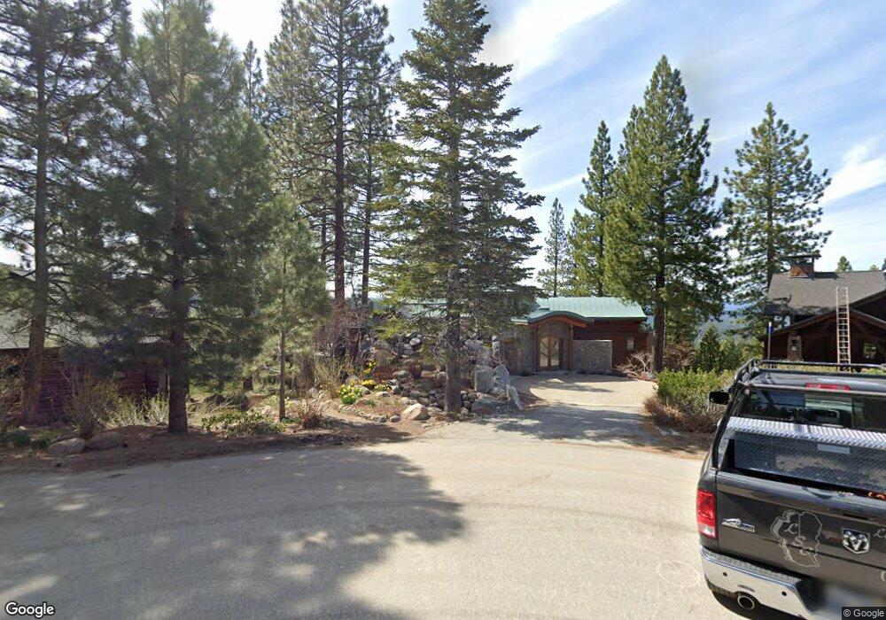
1702 Grouse Ridge Truckee, CA 96161
South Truckee NeighborhoodEstimated Value: $4,872,000 - $5,575,000
4
Beds
6
Baths
5,595
Sq Ft
$945/Sq Ft
Est. Value
About This Home
This home is located at 1702 Grouse Ridge, Truckee, CA 96161 and is currently estimated at $5,286,396, approximately $944 per square foot. 1702 Grouse Ridge is a home located in Placer County with nearby schools including Truckee Elementary School, Alder Creek Middle School, and Tahoe Truckee High School.
Ownership History
Date
Name
Owned For
Owner Type
Purchase Details
Closed on
Mar 30, 2004
Sold by
Coleman J Robert and Coleman Diane S
Bought by
Sanders Coleman Jr J Robert and Sanders Coleman Diane
Current Estimated Value
Purchase Details
Closed on
Aug 8, 1995
Sold by
Trimont Land Company
Bought by
Coleman J Robert and Coleman Diane S
Create a Home Valuation Report for This Property
The Home Valuation Report is an in-depth analysis detailing your home's value as well as a comparison with similar homes in the area
Home Values in the Area
Average Home Value in this Area
Purchase History
| Date | Buyer | Sale Price | Title Company |
|---|---|---|---|
| Sanders Coleman Jr J Robert | -- | -- | |
| Coleman J Robert | $229,000 | Old Republic Title Company |
Source: Public Records
Tax History Compared to Growth
Tax History
| Year | Tax Paid | Tax Assessment Tax Assessment Total Assessment is a certain percentage of the fair market value that is determined by local assessors to be the total taxable value of land and additions on the property. | Land | Improvement |
|---|---|---|---|---|
| 2025 | $47,079 | $4,292,471 | $380,286 | $3,912,185 |
| 2023 | $47,079 | $4,125,791 | $365,520 | $3,760,271 |
| 2022 | $46,202 | $4,044,894 | $358,353 | $3,686,541 |
| 2021 | $40,148 | $3,602,000 | $319,100 | $3,282,900 |
| 2020 | $39,151 | $3,430,000 | $303,900 | $3,126,100 |
| 2019 | $44,793 | $3,847,963 | $340,907 | $3,507,056 |
| 2018 | $43,208 | $3,772,514 | $334,223 | $3,438,291 |
| 2017 | $42,519 | $3,698,544 | $327,670 | $3,370,874 |
| 2016 | $42,297 | $3,626,025 | $321,246 | $3,304,779 |
| 2015 | $41,281 | $3,571,560 | $316,421 | $3,255,139 |
| 2014 | $32,220 | $2,750,000 | $250,000 | $2,500,000 |
Source: Public Records
Map
Nearby Homes
- 2640 Mill Site Rd
- 1329 Mill Camp
- 6038 Mill Camp
- 1723 Grouse Ridge Rd Unit 4
- 2790 Cross Cut Ct
- 1937 Gray Wolf
- 1731 Grouse Ridge Rd
- 6070 Rocky Point Cir
- 2785 Cross Cut Ct
- 1055 Martis Landing
- 1055 Martis Landing Unit B
- 6133 Feather Ridge
- 6138 Feather Ridge
- 5053 Gold Bend
- 1750 Grouse Ridge Rd
- 5030 Gold Bend
- 2344 Overlook Place
- 2301 Overlook Place
- 5092 Gold Bend
- 2203 Silver Fox Unit New Year's Week - Sh
- 1704 Grouse Ridge Rd
- 1704 Grouse Ridge
- 1701 Grouse Ridge
- 1706 Grouse Ridge
- 1705 Grouse Ridge
- 1708 Grouse Ridge Rd
- 1708 Grouse Ridge
- 1707 Grouse Ridge Rd
- 1707 Grouse Ridge
- 1710 Grouse Ridge
- 1710 Grouse Ridge Rd
- 1709 Grouse Ridge
- 1712 Grouse Ridge Rd
- 1712 Grouse Ridge
- 1711 Grouse Ridge Rd
- 1711 Grouse Ridge
- 1802 Woods Point Way
- 2655 Mill Site Rd Unit Lot 1
- 2655 Mill Site Rd
- 6001 Mill Camp