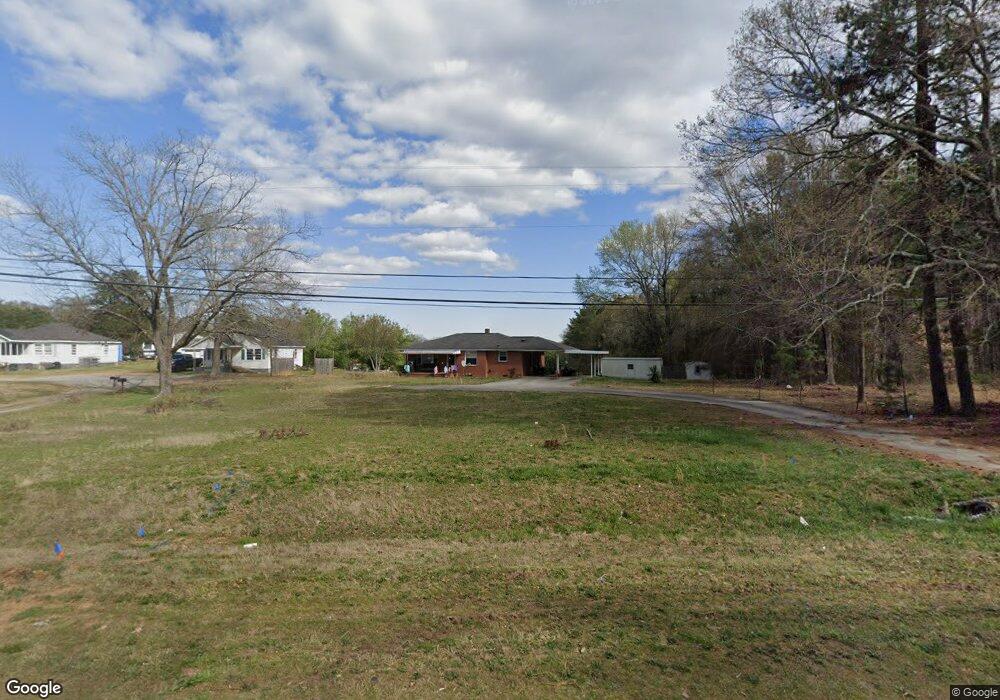
1702 Highway 29 N Anderson, SC 29621
Estimated Value: $139,000 - $223,000
3
Beds
1
Bath
1,173
Sq Ft
$142/Sq Ft
Est. Value
About This Home
This home is located at 1702 Highway 29 N, Anderson, SC 29621 and is currently estimated at $165,996, approximately $141 per square foot. 1702 Highway 29 N is a home located in Anderson County with nearby schools including Nevitt Forest Elementary School, Glenview Middle School, and T.L. Hanna High School.
Ownership History
Date
Name
Owned For
Owner Type
Purchase Details
Closed on
Oct 1, 2013
Sold by
Wiles Tony
Bought by
Patel Kalpanaben and Patel Shodhanbhai C
Current Estimated Value
Purchase Details
Closed on
Aug 10, 2011
Sold by
Guthrie Celia and Guthrie Johnny
Bought by
Wiles Tony
Purchase Details
Closed on
Oct 6, 2009
Sold by
Estate Of Chloe D Taylor and Guthrie Celia
Bought by
Guthrie Celia and Guthrie Johnny
Purchase Details
Closed on
Sep 22, 2006
Sold by
Taylor Chloe D
Bought by
Taylor Chloe D
Create a Home Valuation Report for This Property
The Home Valuation Report is an in-depth analysis detailing your home's value as well as a comparison with similar homes in the area
Home Values in the Area
Average Home Value in this Area
Purchase History
| Date | Buyer | Sale Price | Title Company |
|---|---|---|---|
| Patel Kalpanaben | $42,000 | -- | |
| Wiles Tony | $56,500 | -- | |
| Guthrie Celia | -- | -- | |
| Taylor Chloe D | -- | None Available |
Source: Public Records
Tax History Compared to Growth
Tax History
| Year | Tax Paid | Tax Assessment Tax Assessment Total Assessment is a certain percentage of the fair market value that is determined by local assessors to be the total taxable value of land and additions on the property. | Land | Improvement |
|---|---|---|---|---|
| 2024 | $1,060 | $3,040 | $610 | $2,430 |
| 2023 | $1,060 | $3,040 | $610 | $2,430 |
| 2022 | $1,006 | $3,040 | $610 | $2,430 |
| 2021 | $969 | $2,750 | $480 | $2,270 |
| 2020 | $953 | $2,750 | $480 | $2,270 |
| 2019 | $953 | $2,750 | $480 | $2,270 |
| 2018 | $941 | $2,750 | $480 | $2,270 |
| 2017 | -- | $2,750 | $480 | $2,270 |
| 2016 | $998 | $2,990 | $600 | $2,390 |
| 2015 | $1,005 | $2,990 | $600 | $2,390 |
| 2014 | $987 | $3,050 | $400 | $2,650 |
Source: Public Records
Map
Nearby Homes
- 1425 Amity Rd
- 1313 Phyllis Dr
- 2335 Snow Rd
- 1414 P and Dr N
- 611 Wh Kay Ln
- 109 Woodfern Cir
- 404 Sarah Dr
- 209 Blue Ridge Cir
- 0 Highway 29 N Unit 20292906
- 0 Highway 29 N Unit 20292905
- 0 Highway 29 N Unit 20292904
- 0 Highway 29 N Unit 20292903
- 0 Highway 29 N Unit 22331558
- 0 Highway 29 N Unit 22331556
- 0 Highway 29 N Unit 22331557
- 136 Amberwood Dr
- 126 Olivarri Dr
- 606 Highway 29 Bypass N
- 336 Cedar Ridge
- 1607 Highway 29 N
- 1304 E Park Dr
- 1301 E Park Dr
- 1306 Amity Rd
- 1800 Highway 29 N
- 1302 E Park Dr
- 1302 E Park Dr
- 1302 E Park Dr
- 1302 E Park Dr
- 1303 E Park Dr
- 1306 E Park Dr
- 100 Rexton Dr
- 102 Rexton Dr
- 1305 E Park Dr
- 1308 E Park Dr
- 104 Rexton Dr
- 1307 E Park Dr
- 1900 Highway 29 N
- 1805 Highway 29 N
- 1310 E Park Dr