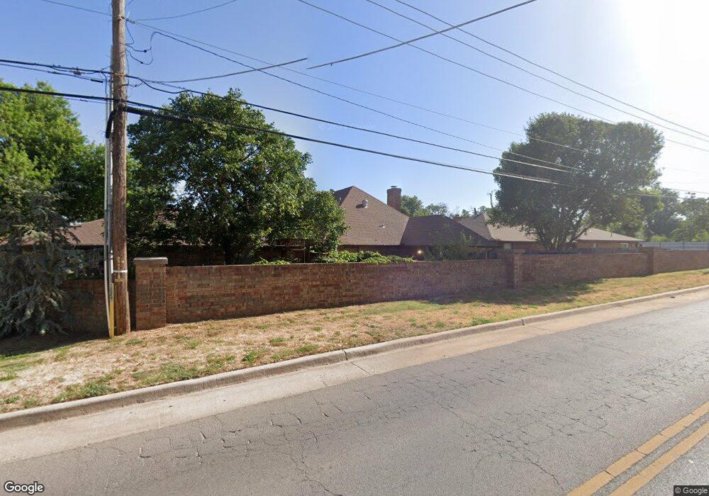
1702 Lionsgate Cir Bethany, OK 73008
Estimated Value: $169,000 - $201,000
2
Beds
2
Baths
1,670
Sq Ft
$111/Sq Ft
Est. Value
About This Home
This home is located at 1702 Lionsgate Cir, Bethany, OK 73008 and is currently estimated at $185,178, approximately $110 per square foot. 1702 Lionsgate Cir is a home located in Oklahoma County with nearby schools including Apollo Elementary School, Mayfield Middle School, and Putnam City West High School.
Ownership History
Date
Name
Owned For
Owner Type
Purchase Details
Closed on
May 11, 2010
Sold by
Miller Wade A and Miller Wade D
Bought by
Miller Wade
Current Estimated Value
Home Financials for this Owner
Home Financials are based on the most recent Mortgage that was taken out on this home.
Original Mortgage
$94,000
Interest Rate
5.14%
Mortgage Type
New Conventional
Purchase Details
Closed on
May 5, 2004
Sold by
Petillo Cornelia M and Cornelia M Petillo Living Trus
Bought by
Miller Wade A
Create a Home Valuation Report for This Property
The Home Valuation Report is an in-depth analysis detailing your home's value as well as a comparison with similar homes in the area
Home Values in the Area
Average Home Value in this Area
Purchase History
| Date | Buyer | Sale Price | Title Company |
|---|---|---|---|
| Miller Wade | -- | American Eagle Title Ins Co | |
| Miller Wade A | $103,000 | First American Title & Tr Co |
Source: Public Records
Mortgage History
| Date | Status | Borrower | Loan Amount |
|---|---|---|---|
| Closed | Miller Wade | $94,000 |
Source: Public Records
Tax History
| Year | Tax Paid | Tax Assessment Tax Assessment Total Assessment is a certain percentage of the fair market value that is determined by local assessors to be the total taxable value of land and additions on the property. | Land | Improvement |
|---|---|---|---|---|
| 2025 | $1,638 | $15,025 | $1,699 | $13,326 |
| 2024 | $1,620 | $14,588 | $1,576 | $13,012 |
| 2023 | $1,620 | $14,163 | $1,606 | $12,557 |
| 2022 | $1,435 | $13,750 | $1,754 | $11,996 |
| 2021 | $1,384 | $13,350 | $1,982 | $11,368 |
| 2020 | $1,336 | $12,962 | $1,464 | $11,498 |
| 2019 | $1,288 | $12,584 | $1,449 | $11,135 |
| 2018 | $1,240 | $12,218 | $0 | $0 |
| 2017 | $1,207 | $11,861 | $1,572 | $10,289 |
| 2016 | $1,152 | $11,516 | $1,667 | $9,849 |
| 2015 | $1,077 | $11,180 | $1,679 | $9,501 |
| 2014 | $1,041 | $11,272 | $1,679 | $9,593 |
Source: Public Records
Map
Nearby Homes
- 1778 Lionsgate Cir
- 1729 N Gleason Ave
- 1904 N Donald Ave
- 6517 NW 20th Dr
- 1231 N Chisholm Rd
- 7001 NW 12th St
- 2201 N Mueller Ave
- 6300 NW 19th Dr
- 7111 NW 16th St
- 2312 N Donald Ave
- 6909 NW 11th St
- 6300 NW 21st Dr
- 6905 NW 22nd St
- 6009 NW 19th St
- 6606 NW 26th St
- 1712 N Fordson Ave
- 2521 N Redmond Ave
- 1717 N Fordson Ave
- 6410 NW 9th St
- 1812 N Oakhill Rd
- 1700 Lionsgate Cir
- 1704 Lionsgate Cir
- 1706 Lionsgate Cir
- 1723 Lionsgate Cir
- 1708 Lionsgate Cir
- 1725 Lionsgate Cir
- 1749 Lionsgate Cir
- 1780 Lionsgate Cir
- 1712 Lionsgate Cir
- 1727 Lionsgate Cir
- 1747 Lionsgate Cir
- 1714 Lionsgate Cir
- 1729 Lionsgate Cir
- 1776 Lionsgate Cir
- 1716 Lionsgate Cir
- 1745 Lionsgate Cir
- 1743 Lionsgate Cir
- 1774 Lionsgate Cir
- 1731 Lionsgate Cir
Your Personal Tour Guide
Ask me questions while you tour the home.