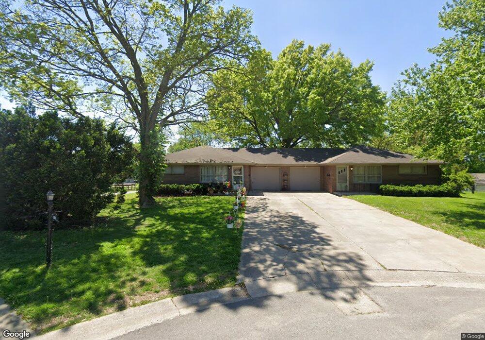
1702 Lovers Lane Heights Saint Joseph, MO 64505
Lovers Lane NeighborhoodEstimated Value: $179,000 - $259,000
--
Bed
--
Bath
1,904
Sq Ft
$109/Sq Ft
Est. Value
About This Home
This home is located at 1702 Lovers Lane Heights, Saint Joseph, MO 64505 and is currently estimated at $207,288, approximately $108 per square foot. 1702 Lovers Lane Heights is a home located in Buchanan County with nearby schools including Lindbergh Elementary School, Robidoux Middle School, and Lafayette High School.
Ownership History
Date
Name
Owned For
Owner Type
Purchase Details
Closed on
Nov 26, 2013
Sold by
Citizens Bank And Trust
Bought by
Sinclair Anthony David and Sinclair Sheila Marie
Current Estimated Value
Home Financials for this Owner
Home Financials are based on the most recent Mortgage that was taken out on this home.
Original Mortgage
$102,400
Outstanding Balance
$76,928
Interest Rate
4.34%
Mortgage Type
FHA
Estimated Equity
$130,360
Purchase Details
Closed on
Mar 7, 2007
Sold by
Rt Dorothy F Sinclair Revocable Trust
Bought by
Rt Charles F Sinclair Revocable Trust
Create a Home Valuation Report for This Property
The Home Valuation Report is an in-depth analysis detailing your home's value as well as a comparison with similar homes in the area
Home Values in the Area
Average Home Value in this Area
Purchase History
| Date | Buyer | Sale Price | Title Company |
|---|---|---|---|
| Sinclair Anthony David | $128,000 | Preferred Title Of St Joseph | |
| Rt Charles F Sinclair Revocable Trust | -- | None Available |
Source: Public Records
Mortgage History
| Date | Status | Borrower | Loan Amount |
|---|---|---|---|
| Open | Sinclair Anthony David | $102,400 |
Source: Public Records
Tax History Compared to Growth
Tax History
| Year | Tax Paid | Tax Assessment Tax Assessment Total Assessment is a certain percentage of the fair market value that is determined by local assessors to be the total taxable value of land and additions on the property. | Land | Improvement |
|---|---|---|---|---|
| 2024 | $1,904 | $26,620 | $3,900 | $22,720 |
| 2023 | $1,904 | $26,620 | $3,900 | $22,720 |
| 2022 | $1,757 | $26,620 | $3,900 | $22,720 |
| 2021 | $1,765 | $26,620 | $3,900 | $22,720 |
| 2020 | $1,754 | $26,620 | $3,900 | $22,720 |
| 2019 | $1,694 | $26,620 | $3,900 | $22,720 |
| 2018 | $1,530 | $26,620 | $3,900 | $22,720 |
| 2017 | $1,515 | $26,620 | $0 | $0 |
| 2015 | $1,477 | $26,620 | $0 | $0 |
| 2014 | $1,477 | $26,620 | $0 | $0 |
Source: Public Records
Map
Nearby Homes
- 2011 E Highland Ave
- 1802 N 22nd St
- 1321 N 20th St
- 1912 Holman St
- 2112 N 22nd St
- 905 5th Ave
- 1502 6th Ave
- 1805 6th Ave
- 1814 Manchester Rd
- 1205 6th Ave
- 1020 7th Ave
- 2217 Jones St
- 1113 Corby St
- 701 McDonald St
- 3004 Burnside Ave
- 2027 Savannah Ave
- 840 N 25th St
- 622 Hamburg Ave
- 2517 Jones St
- 3101 Saint Joseph Ave
- 1710 Lovers Lane Heights
- 1701 Lovers Lane Heights
- 1701 Lovers Ln
- 1701 Lovers Lane Heights
- 1711 Lovers Lane Heights N A
- 1721 Lovers Lane Heights N A
- 1711 Lovers Lane Heights
- 1712 N 17th St
- 1720 Lovers Lane Heights
- 1607 N 17th St
- 1703 Lovers Lane Heights
- 1721 Lovers Lane Hgts
- 1721 Lovers Lane Heights
- 1614 Lovers Ln
- 1610 E Highland Ave
- 1609 Douglas St
- 1705 Grand Ave
- 1701 Grand Ave
- 1610 Lovers Ln
- 1709 Grand Ave