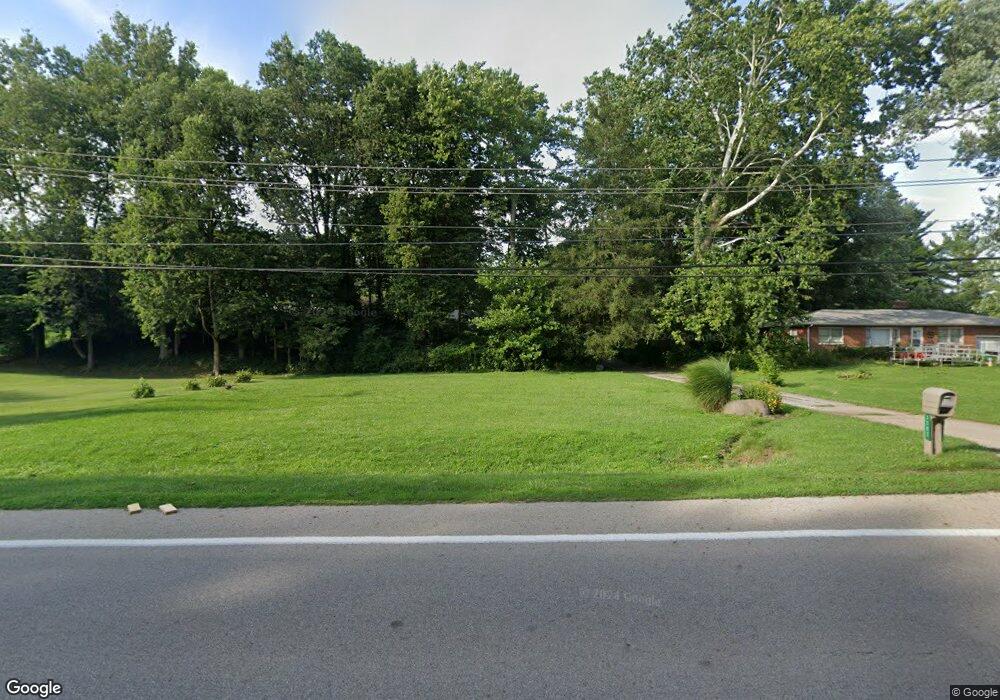
1702 Middletown Eaton Rd Middletown, OH 45042
Madison Township NeighborhoodEstimated Value: $240,000 - $250,924
3
Beds
2
Baths
1,366
Sq Ft
$180/Sq Ft
Est. Value
About This Home
This home is located at 1702 Middletown Eaton Rd, Middletown, OH 45042 and is currently estimated at $245,231, approximately $179 per square foot. 1702 Middletown Eaton Rd is a home located in Butler County with nearby schools including Madison High School.
Ownership History
Date
Name
Owned For
Owner Type
Purchase Details
Closed on
Aug 8, 2025
Sold by
Tolson Brent Lane and Tolson Amy
Bought by
Conrad Cecil and Conrad Lori
Current Estimated Value
Home Financials for this Owner
Home Financials are based on the most recent Mortgage that was taken out on this home.
Original Mortgage
$254,353
Outstanding Balance
$254,133
Interest Rate
6.72%
Mortgage Type
VA
Estimated Equity
-$8,902
Purchase Details
Closed on
Sep 18, 2017
Sold by
Wells Fargo Bank Na
Bought by
Tolson Brent Ddlane
Purchase Details
Closed on
Jun 28, 2017
Sold by
Dyer Newell
Bought by
Wells Fargo Bank N A
Purchase Details
Closed on
Oct 28, 2003
Sold by
Pollard Charles T and Pollard Marcia
Bought by
Dyer Newell and Dyer Rosetta
Home Financials for this Owner
Home Financials are based on the most recent Mortgage that was taken out on this home.
Original Mortgage
$130,452
Interest Rate
6.04%
Mortgage Type
FHA
Purchase Details
Closed on
Sep 1, 1993
Create a Home Valuation Report for This Property
The Home Valuation Report is an in-depth analysis detailing your home's value as well as a comparison with similar homes in the area
Home Values in the Area
Average Home Value in this Area
Purchase History
| Date | Buyer | Sale Price | Title Company |
|---|---|---|---|
| Conrad Cecil | $249,000 | None Listed On Document | |
| Conrad Cecil | $249,000 | None Listed On Document | |
| Tolson Brent Ddlane | $69,000 | Serverlink | |
| Wells Fargo Bank N A | $71,000 | None Available | |
| Dyer Newell | $132,500 | -- | |
| -- | $97,700 | -- |
Source: Public Records
Mortgage History
| Date | Status | Borrower | Loan Amount |
|---|---|---|---|
| Open | Conrad Cecil | $254,353 | |
| Closed | Conrad Cecil | $254,353 | |
| Previous Owner | Dyer Newell | $130,452 |
Source: Public Records
Tax History Compared to Growth
Tax History
| Year | Tax Paid | Tax Assessment Tax Assessment Total Assessment is a certain percentage of the fair market value that is determined by local assessors to be the total taxable value of land and additions on the property. | Land | Improvement |
|---|---|---|---|---|
| 2024 | $2,765 | $65,640 | $14,710 | $50,930 |
| 2023 | $2,745 | $65,640 | $14,710 | $50,930 |
| 2022 | $2,333 | $48,300 | $14,710 | $33,590 |
| 2021 | $2,095 | $48,300 | $14,710 | $33,590 |
| 2020 | $2,179 | $48,300 | $14,710 | $33,590 |
| 2019 | $2,278 | $39,350 | $14,710 | $24,640 |
| 2018 | $1,919 | $39,350 | $14,710 | $24,640 |
| 2017 | $1,904 | $39,350 | $14,710 | $24,640 |
| 2016 | $1,402 | $37,300 | $14,710 | $22,590 |
| 2015 | $1,408 | $37,300 | $14,710 | $22,590 |
| 2014 | $1,591 | $37,300 | $14,710 | $22,590 |
| 2013 | $1,591 | $41,210 | $14,710 | $26,500 |
Source: Public Records
Map
Nearby Homes
- 1675 Middletown Eaton Rd
- 6136 Hursh Rd
- 5801 Elk Creek Rd
- 6190 Joann Ln
- 5386 Mosiman Rd
- 5438 Middletown Oxford Rd
- 881 Middletown Eaton Rd
- 6823 Michael Rd
- 4750 Eck Rd
- 5750 Trenton Franklin Rd
- 526 Hill St
- 5357 Front St
- 433 Leichty Ave
- 6250 Howe Rd
- 6256 Paullin Dr
- 4348 Elk Creek Rd
- 4849 Trenton Franklin Rd
- 6262 Jacksonburg Rd
- 6270 Jacksonburg Rd
- 4583 Oxford Middletown Rd
- 1712 Middletown Eaton Rd
- 1722 Middletown Eaton Rd
- 5960 Michael Rd
- 5928 Beverly Ln
- 5950 Beverly Ln
- 5916 Beverly Ln
- 5960 Beverly Ln
- 1742 Middletown Eaton Rd
- 5906 Beverly Ln
- 5970 Beverly Ln
- 5884 Beverly Ln
- 5878 Beverly Ln
- 5984 Beverly Ln
- 5935 Beverly Ln
- 5945 Beverly Ln
- 5913 Beverly Ln
- 5957 Beverly Ln
- 5903 Beverly Ln
- 5967 Beverly Ln
- 5977 Beverly Ln
