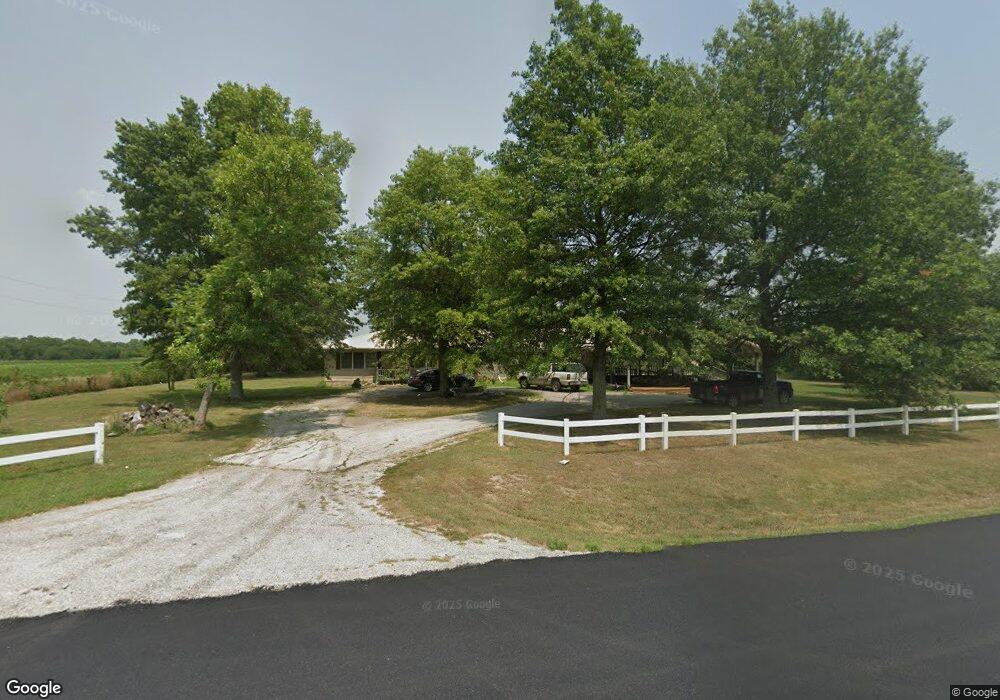
1703 Highway 31 Fulton, KS 66738
Estimated Value: $163,000 - $278,000
3
Beds
2
Baths
3,000
Sq Ft
$68/Sq Ft
Est. Value
About This Home
This home is located at 1703 Highway 31, Fulton, KS 66738 and is currently estimated at $203,825, approximately $67 per square foot. 1703 Highway 31 is a home located in Bourbon County with nearby schools including Winfield Scott Elementary School, Eugene Ware Elementary School, and Fort Scott Middle School.
Ownership History
Date
Name
Owned For
Owner Type
Purchase Details
Closed on
Sep 27, 2013
Sold by
Wortman Douglas J and Wortman Debbie
Bought by
Jackson Jeremiah R and Jackson Sarah L
Current Estimated Value
Home Financials for this Owner
Home Financials are based on the most recent Mortgage that was taken out on this home.
Original Mortgage
$38,000
Interest Rate
4.46%
Mortgage Type
New Conventional
Create a Home Valuation Report for This Property
The Home Valuation Report is an in-depth analysis detailing your home's value as well as a comparison with similar homes in the area
Home Values in the Area
Average Home Value in this Area
Purchase History
| Date | Buyer | Sale Price | Title Company |
|---|---|---|---|
| Jackson Jeremiah R | $47,500 | -- |
Source: Public Records
Mortgage History
| Date | Status | Borrower | Loan Amount |
|---|---|---|---|
| Closed | Jackson Jeremiah R | $38,000 |
Source: Public Records
Tax History Compared to Growth
Tax History
| Year | Tax Paid | Tax Assessment Tax Assessment Total Assessment is a certain percentage of the fair market value that is determined by local assessors to be the total taxable value of land and additions on the property. | Land | Improvement |
|---|---|---|---|---|
| 2025 | -- | $9,625 | $2,125 | $7,500 |
| 2024 | $1,253 | $9,080 | $2,125 | $6,955 |
| 2023 | $1,212 | $8,330 | $2,125 | $6,205 |
| 2022 | $1,168 | $8,088 | $2,125 | $5,963 |
| 2021 | $1,126 | $7,214 | $2,125 | $5,089 |
| 2020 | $1,106 | $7,031 | $2,125 | $4,906 |
| 2019 | $1,093 | $6,912 | $2,240 | $4,672 |
| 2018 | $1,116 | $6,843 | $2,240 | $4,603 |
| 2017 | $1,122 | $6,844 | $2,082 | $4,762 |
| 2016 | -- | $6,969 | $1,724 | $5,245 |
| 2015 | -- | $6,518 | $577 | $5,941 |
| 2014 | -- | $7,590 | $577 | $7,013 |
Source: Public Records
Map
Nearby Homes
- 334 W Cedar St
- 0 Scott Rd
- 1570 Redbud Rd
- 1570 Redbud St
- 1194-1198 Unity Rd
- 324 W Walnut St
- 1045 Yale Rd
- 215 E 2nd St
- 93 SW Skyline Cir
- 21 Cedar Crest Dr
- 33 E Sugar Lake Cove
- 0 Unity Rd
- 26 Meadow + 6 Lots Ln
- 5971 Montgomery Rd
- 41,45,49,53 Walnut Dr
- 6 Badger Dr
- 22 & 42 Pine Loop & 165 Locust St
- 58 E Sugar Lake Cove
- 6 Bobcat Terrace
- 53,57,61 & 65 Locust Dr