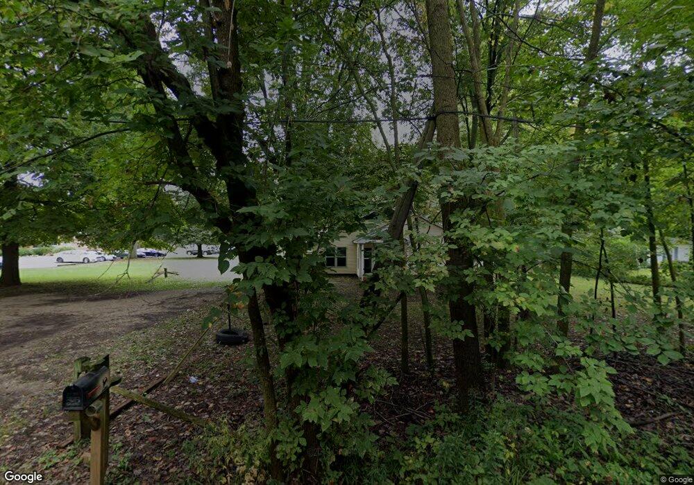
1703 Olmstead Rd Kalamazoo, MI 49048
Estimated Value: $134,000 - $185,000
3
Beds
2
Baths
1,530
Sq Ft
$101/Sq Ft
Est. Value
About This Home
This home is located at 1703 Olmstead Rd, Kalamazoo, MI 49048 and is currently estimated at $154,838, approximately $101 per square foot. 1703 Olmstead Rd is a home located in Kalamazoo County with nearby schools including Edison Environmental Science Academy, Milwood Magnet School, and Loy Norrix High School.
Ownership History
Date
Name
Owned For
Owner Type
Purchase Details
Closed on
Jun 20, 2013
Sold by
Sonnerville Robert A and Sonnerville Patricia J
Bought by
Program Kalamazoo Probation Enhancement
Current Estimated Value
Purchase Details
Closed on
May 18, 2005
Sold by
Va
Bought by
Sonneville Robert A and Sonneville Patricia J
Purchase Details
Closed on
Feb 9, 2004
Sold by
Midfirst Bank
Bought by
Va
Purchase Details
Closed on
Jan 22, 2004
Sold by
Bass Robert C and Bass Wanda J
Bought by
Midfirst Bank
Create a Home Valuation Report for This Property
The Home Valuation Report is an in-depth analysis detailing your home's value as well as a comparison with similar homes in the area
Home Values in the Area
Average Home Value in this Area
Purchase History
| Date | Buyer | Sale Price | Title Company |
|---|---|---|---|
| Program Kalamazoo Probation Enhancement | $80,000 | Attorneys Title | |
| Sonneville Robert A | $41,010 | Metro Title | |
| Va | -- | -- | |
| Midfirst Bank | $52,148 | -- |
Source: Public Records
Tax History Compared to Growth
Tax History
| Year | Tax Paid | Tax Assessment Tax Assessment Total Assessment is a certain percentage of the fair market value that is determined by local assessors to be the total taxable value of land and additions on the property. | Land | Improvement |
|---|---|---|---|---|
| 2025 | $2,697 | $54,300 | $0 | $0 |
| 2024 | $391 | $46,800 | $0 | $0 |
| 2023 | $373 | $39,900 | $0 | $0 |
| 2022 | $2,451 | $39,500 | $0 | $0 |
| 2021 | $2,318 | $37,000 | $0 | $0 |
| 2020 | $2,282 | $33,900 | $0 | $0 |
| 2019 | $2,200 | $31,200 | $0 | $0 |
| 2018 | $2,147 | $31,700 | $0 | $0 |
| 2017 | $0 | $31,700 | $0 | $0 |
| 2016 | -- | $32,100 | $0 | $0 |
| 2015 | -- | $30,500 | $0 | $0 |
| 2014 | -- | $28,800 | $0 | $0 |
Source: Public Records
Map
Nearby Homes
- 3233 Greenfield Ave
- 3511 Miller Rd
- 3111 Carleton Ave
- 1116 Surprise Ave
- 3714 Lake St
- 1118 Willis Ave
- 5287 Comstock Ave
- 2008 E Stockbridge Ave
- 3635 E Cork St
- 2211 Roseland Ave
- 5503 Comstock Ave
- 619 Lake St
- 5179 E Michigan Ave
- 1719 Palmer Ave
- 1707 E Stockbridge Ave
- 5794 Celery St
- 5830 Celery St
- 1517 E Stockbridge Ave
- 1424 Lay Blvd
- 1510 Palmer Ave
- 1705 Olmstead Rd
- 1707 Olmstead Rd
- 1707 Olmstead Rd
- 1707 Olmstead Rd
- 1701 Olmstead Rd
- 1519 Olmstead Rd
- 1722 Olmstead Rd
- 3512 Stewart Dr
- 3502 Stewart Dr
- 3526 Stewart Dr
- 3426 Stewart Dr
- 3420 Stewart Dr
- 3412 Stewart Dr
- 3606 Stewart Dr
- 3408 Stewart Dr
- 0 Stewart Dr
- 1710 Olmstead Rd
- 1622 Olmstead Rd
- 3330 Stewart Dr
- 3634 Market St