1704 Crestland Cir Wilmington, NC 28405
Landfall NeighborhoodEstimated Value: $787,779 - $903,000
3
Beds
3
Baths
2,242
Sq Ft
$373/Sq Ft
Est. Value
About This Home
This home is located at 1704 Crestland Cir, Wilmington, NC 28405 and is currently estimated at $835,945, approximately $372 per square foot. 1704 Crestland Cir is a home located in New Hanover County with nearby schools including Wrightsville Beach Elementary School, M.C.S. Noble Middle School, and New Hanover High School.
Ownership History
Date
Name
Owned For
Owner Type
Purchase Details
Closed on
Dec 27, 2006
Sold by
King Billy F and King Linda P
Bought by
Kearney Mary Ferris
Current Estimated Value
Home Financials for this Owner
Home Financials are based on the most recent Mortgage that was taken out on this home.
Original Mortgage
$250,000
Interest Rate
6.06%
Mortgage Type
Purchase Money Mortgage
Purchase Details
Closed on
Dec 23, 2004
Sold by
Johnson Mark R Meredith R
Bought by
King Billy F Linda P
Purchase Details
Closed on
Oct 2, 2002
Sold by
Fred Smith Company
Bought by
Johnson Mark Richard
Purchase Details
Closed on
Sep 11, 2002
Sold by
Fred Smith Company
Bought by
Johnson Michael Richard
Purchase Details
Closed on
Jun 17, 2002
Sold by
Landmark Developers Inc
Bought by
Fred Smith Company
Purchase Details
Closed on
Dec 16, 1994
Sold by
Landfall Associates
Bought by
Landmark Developers Inc
Create a Home Valuation Report for This Property
The Home Valuation Report is an in-depth analysis detailing your home's value as well as a comparison with similar homes in the area
Home Values in the Area
Average Home Value in this Area
Purchase History
| Date | Buyer | Sale Price | Title Company |
|---|---|---|---|
| Kearney Mary Ferris | $465,000 | None Available | |
| King Billy F Linda P | $361,500 | -- | |
| Johnson Mark Richard | -- | -- | |
| Johnson Michael Richard | -- | -- | |
| Fred Smith Company | $45,000 | -- | |
| Landmark Developers Inc | $1,230,000 | -- |
Source: Public Records
Mortgage History
| Date | Status | Borrower | Loan Amount |
|---|---|---|---|
| Previous Owner | Kearney Mary Ferris | $250,000 |
Source: Public Records
Tax History Compared to Growth
Tax History
| Year | Tax Paid | Tax Assessment Tax Assessment Total Assessment is a certain percentage of the fair market value that is determined by local assessors to be the total taxable value of land and additions on the property. | Land | Improvement |
|---|---|---|---|---|
| 2025 | $1,969 | $791,100 | $410,200 | $380,900 |
| 2024 | $1,969 | $452,600 | $183,900 | $268,700 |
| 2023 | $1,924 | $452,600 | $183,900 | $268,700 |
| 2022 | $2,885 | $452,600 | $183,900 | $268,700 |
| 2021 | $2,905 | $452,600 | $183,900 | $268,700 |
| 2020 | $3,914 | $371,600 | $129,900 | $241,700 |
| 2019 | $3,914 | $371,600 | $129,900 | $241,700 |
| 2018 | $1,957 | $371,600 | $129,900 | $241,700 |
| 2017 | $3,914 | $371,600 | $129,900 | $241,700 |
| 2016 | $3,734 | $337,000 | $128,600 | $208,400 |
| 2015 | $3,569 | $337,000 | $128,600 | $208,400 |
| 2014 | $3,417 | $337,000 | $128,600 | $208,400 |
Source: Public Records
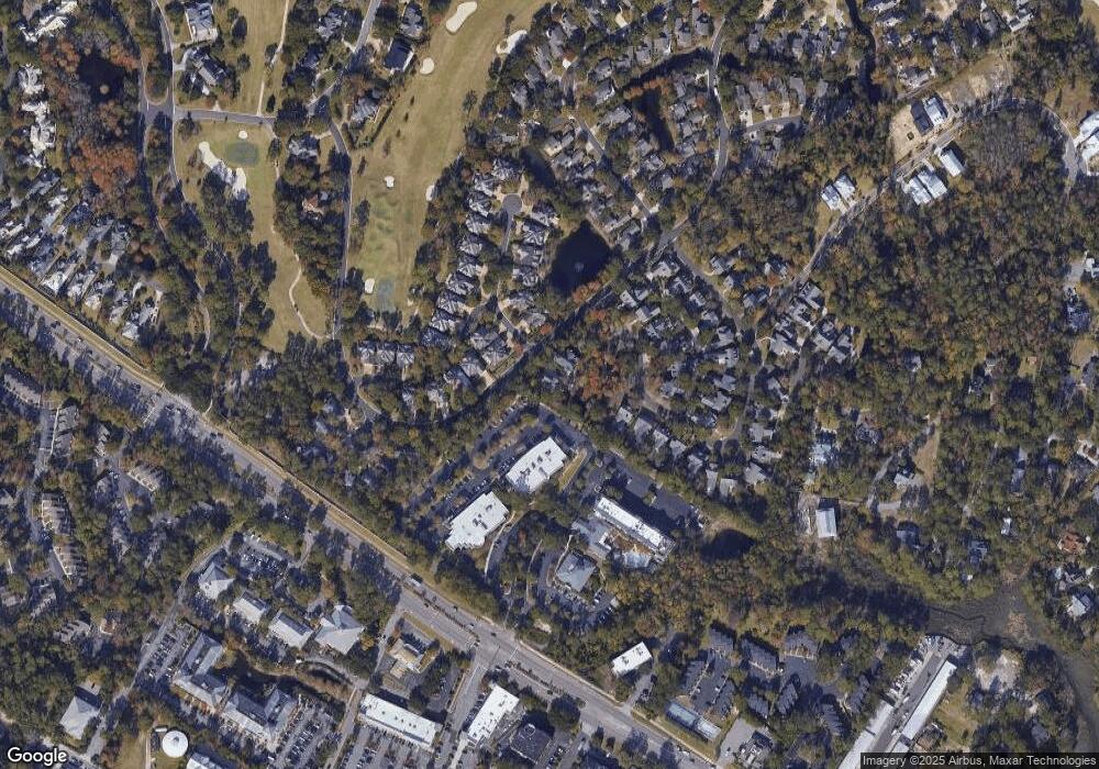
Map
Nearby Homes
- 1914 Odyssey Dr
- 1900 Inverness Ln
- 2051 Odyssey Dr
- 1905 Staunton Ct
- 1803 Glen Eagles Ln
- 1943 Prestwick Ln
- 1727 Tearthumb Ct
- 1846 Senova Trace
- 1936 Prestwick Ln
- 106 James Edward Ct
- 112 James Edward Ct
- 1800 Eastwood Rd Unit 254
- 1800 Eastwood Rd Unit 218
- 132 James Edward Ct
- 1913 Prestwick Ln
- 138 James Edward Ct
- 136 James Edward Ct
- 122 James Edward Ct
- 124 James Edward Ct
- 130 James Edward Ct
- 1700 Crestland Cir
- 1916 Inverness Ln
- 1911 Inverness Ln
- 1933 Hallmark Ln
- 1914 Inverness Ln
- 1909 Inverness Ln
- 1916 Odyssey Dr
- 1931 Hallmark Ln
- 1907 Inverness Ln
- 1926 Hallmark Ln
- 1918 Odyssey Dr
- 1928 Hallmark Ln
- 2006 Leith Ct
- 1918 Hallmark Ln
- 1924 Hallmark Ln
- 2004 Leith Ct
- 1920 Hallmark Ln
- 1905 Inverness Ln
- 2002 Leith Ct
- 1922 Hallmark Ln