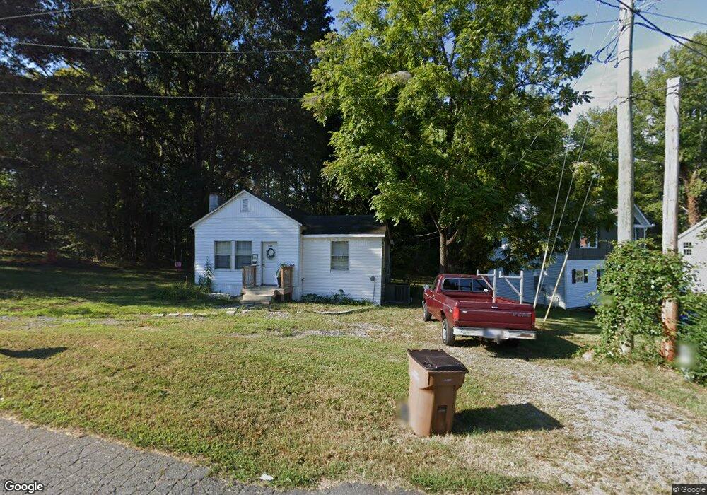
1704 Massapoag Rd Unit 67 Lincolnton, NC 28092
Estimated Value: $100,000 - $163,000
2
Beds
1
Bath
1,003
Sq Ft
$138/Sq Ft
Est. Value
About This Home
This home is located at 1704 Massapoag Rd Unit 67, Lincolnton, NC 28092 and is currently estimated at $137,931, approximately $137 per square foot. 1704 Massapoag Rd Unit 67 is a home located in Lincoln County with nearby schools including S. Ray Lowder Elementary School, Lincolnton Middle School, and Lincolnton High School.
Ownership History
Date
Name
Owned For
Owner Type
Purchase Details
Closed on
Feb 18, 2022
Sold by
Dgp Homes Llc
Bought by
Johnson Alexander David
Current Estimated Value
Home Financials for this Owner
Home Financials are based on the most recent Mortgage that was taken out on this home.
Original Mortgage
$112,000
Outstanding Balance
$104,000
Interest Rate
3.55%
Mortgage Type
New Conventional
Estimated Equity
$33,931
Purchase Details
Closed on
Jun 21, 2021
Sold by
Torres Caesar and Torres Kay
Bought by
Dgp Homes Llc
Home Financials for this Owner
Home Financials are based on the most recent Mortgage that was taken out on this home.
Original Mortgage
$88,000
Interest Rate
2.9%
Mortgage Type
Purchase Money Mortgage
Purchase Details
Closed on
Jan 24, 1994
Bought by
Torres Caesar and Kay Torres
Create a Home Valuation Report for This Property
The Home Valuation Report is an in-depth analysis detailing your home's value as well as a comparison with similar homes in the area
Home Values in the Area
Average Home Value in this Area
Purchase History
| Date | Buyer | Sale Price | Title Company |
|---|---|---|---|
| Johnson Alexander David | $220 | Pendleton Law Firm Pa | |
| Dgp Homes Llc | $52,000 | Investors Title Insurance Co | |
| Torres Caesar | $18,000 | -- |
Source: Public Records
Mortgage History
| Date | Status | Borrower | Loan Amount |
|---|---|---|---|
| Open | Johnson Alexander David | $112,000 | |
| Previous Owner | Dgp Homes Llc | $88,000 |
Source: Public Records
Tax History Compared to Growth
Tax History
| Year | Tax Paid | Tax Assessment Tax Assessment Total Assessment is a certain percentage of the fair market value that is determined by local assessors to be the total taxable value of land and additions on the property. | Land | Improvement |
|---|---|---|---|---|
| 2025 | $568 | $69,656 | $22,000 | $47,656 |
| 2024 | $548 | $69,656 | $22,000 | $47,656 |
| 2023 | $522 | $69,656 | $22,000 | $47,656 |
| 2022 | $431 | $44,813 | $17,000 | $27,813 |
| 2021 | $307 | $27,228 | $17,000 | $10,228 |
| 2020 | $187 | $27,228 | $17,000 | $10,228 |
| 2019 | $187 | $27,228 | $17,000 | $10,228 |
| 2018 | $264 | $23,451 | $15,000 | $8,451 |
| 2017 | $158 | $23,451 | $15,000 | $8,451 |
| 2016 | $158 | $23,451 | $15,000 | $8,451 |
| 2015 | $241 | $23,451 | $15,000 | $8,451 |
| 2014 | $262 | $27,268 | $16,000 | $11,268 |
Source: Public Records
Map
Nearby Homes
- 00 Lake Sylvia Rd
- 1218 W Highview Ln
- 792 Carolina Mill Cir
- 584 Southside Church Rd
- 110 Robin Rd
- 140 Robin Rd
- 68 Mockingbird Ln
- 00 Glenn St
- 818 Grier St
- 916 E Park Dr
- 697 S Grove St
- 689 S Grove St
- 681 S Grove St
- 3347 & 3349 Gastonia Hwy
- 515 Willow St
- 776 S Grove St Unit EXT
- 515 S Academy St
- 217 Rock Creek Dr
- 238 Victory Grove Church Rd
- 317 S High St
- 1704 Massapoag Rd
- 1696 Massapoag Rd
- 1688 Massapoag Rd
- 1640 Laboratory Rd
- 1621 Broome St
- 1622 Broome St
- 1625 Sigmon St
- 1617 Broome St
- 1618 Broome St
- 1630 Laboratory Rd
- 1621 Sigmon St
- 2148 Laboratory Rd
- 1613 Broome St
- 1600 Broome St
- 1614 Broome St
- 1656 Massapoag Rd
- 1622 Laboratory Rd
- 1622 Sigmon St
- 1617 Sigmon St
- 2158 Laboratory Rd