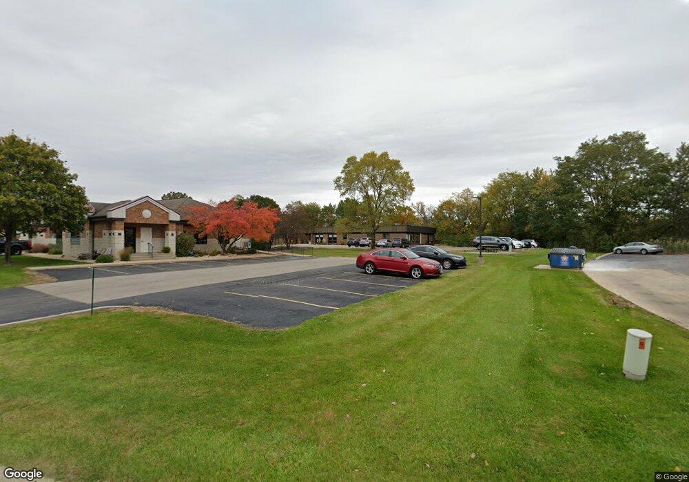
1704 Polaris Cir Ottawa, IL 61350
Estimated Value: $476,164
--
Bed
--
Bath
2,060
Sq Ft
$231/Sq Ft
Est. Value
About This Home
This home is located at 1704 Polaris Cir, Ottawa, IL 61350 and is currently estimated at $476,164, approximately $231 per square foot. 1704 Polaris Cir is a home located in LaSalle County with nearby schools including Ottawa Township High School, Marquette Academy, and Marquette Elementary School.
Ownership History
Date
Name
Owned For
Owner Type
Purchase Details
Closed on
Sep 4, 2015
Sold by
Meling David L
Bought by
Shamrock Holding Llc
Current Estimated Value
Create a Home Valuation Report for This Property
The Home Valuation Report is an in-depth analysis detailing your home's value as well as a comparison with similar homes in the area
Home Values in the Area
Average Home Value in this Area
Purchase History
| Date | Buyer | Sale Price | Title Company |
|---|---|---|---|
| Shamrock Holding Llc | $247,500 | -- |
Source: Public Records
Tax History Compared to Growth
Tax History
| Year | Tax Paid | Tax Assessment Tax Assessment Total Assessment is a certain percentage of the fair market value that is determined by local assessors to be the total taxable value of land and additions on the property. | Land | Improvement |
|---|---|---|---|---|
| 2024 | $8,096 | $78,609 | $5,288 | $73,321 |
| 2023 | $8,280 | $78,609 | $5,288 | $73,321 |
| 2022 | $7,918 | $74,160 | $4,989 | $69,171 |
| 2021 | $7,974 | $74,160 | $4,989 | $69,171 |
| 2020 | $7,932 | $74,160 | $4,989 | $69,171 |
| 2019 | $8,205 | $74,160 | $4,989 | $69,171 |
| 2018 | $6,646 | $59,684 | $4,989 | $54,695 |
| 2017 | $6,572 | $59,684 | $4,989 | $54,695 |
| 2016 | $6,596 | $59,684 | $4,989 | $54,695 |
| 2015 | $6,573 | $59,684 | $4,989 | $54,695 |
| 2012 | -- | $59,684 | $4,989 | $54,695 |
Source: Public Records
Map
Nearby Homes
- 1771 N 2959th Rd
- 1402 Champlain St
- 0000 Us Highway 6
- 0 US Highway 6
- 2103 Franklin Ave
- 0000 N 2753rd Rd
- 2520 Champlain St
- 638 Pearl St
- 2500 Beverly Way
- 542 Chapel St
- 2117 Fox Chase Dr Unit 2119
- 2125 Fox Chase Dr
- 2804 Turnberry Dr
- 729 River Edge Cir
- 321 E Washington St
- 1013 Guion St
- 527 E Main St
- 1116 Paul St
- 326 Congress St
- 1125 Paul St
- 1704 Polaris Cir
- 1704 Polaris Cir
- 1703 Polaris Cir
- 1306 Gemini Cir
- 1306 Gemini Cir Unit 2
- 1309 Starfire Dr
- 1304 Gemini Cir
- 1304 Gemini Cir Unit 3
- 1304 Gemini Cir Unit 1
- 1209 Starfire Dr
- 0000 Illinois 71
- 00000 Illinois 71
- 1404 Aquarius Cir
- 1420 Aquarius Cir
- 1625 E Norris Dr
- 1523 E Us Highway 6
- 1779 N 2959th Rd
- 1762 N 2959th Rd
- 1620 Champlain St
- 1622 Champlain St