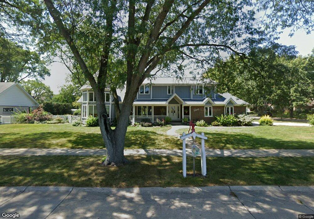
1704 Shawnee Trail Northbrook, IL 60062
Estimated Value: $820,333 - $906,000
4
Beds
3
Baths
2,803
Sq Ft
$304/Sq Ft
Est. Value
About This Home
This home is located at 1704 Shawnee Trail, Northbrook, IL 60062 and is currently estimated at $851,333, approximately $303 per square foot. 1704 Shawnee Trail is a home located in Cook County with nearby schools including Hickory Point Elementary School, Shabonee Elementary School, and Wood Oaks Jr High School.
Ownership History
Date
Name
Owned For
Owner Type
Purchase Details
Closed on
Feb 9, 2022
Sold by
Arnspong Deborah and Arnspong Y
Bought by
Arnspong Deborah L and Deborah L Arnspong Trust
Current Estimated Value
Purchase Details
Closed on
Dec 12, 2021
Sold by
Arnspong Deborah and Arnspong Y
Bought by
Arnspong Deborah L and Deborah L Arnspong Trust
Purchase Details
Closed on
Sep 19, 2018
Sold by
Arnspong Bernt Arne and Arnspong Deborah
Bought by
Arnspong Deborah
Create a Home Valuation Report for This Property
The Home Valuation Report is an in-depth analysis detailing your home's value as well as a comparison with similar homes in the area
Home Values in the Area
Average Home Value in this Area
Purchase History
| Date | Buyer | Sale Price | Title Company |
|---|---|---|---|
| Arnspong Deborah L | -- | -- | |
| Arnspong Deborah L | -- | -- | |
| Arnspong Deborah L | -- | -- | |
| Arnspong Deborah | -- | Attorney |
Source: Public Records
Tax History Compared to Growth
Tax History
| Year | Tax Paid | Tax Assessment Tax Assessment Total Assessment is a certain percentage of the fair market value that is determined by local assessors to be the total taxable value of land and additions on the property. | Land | Improvement |
|---|---|---|---|---|
| 2024 | $11,611 | $52,034 | $18,090 | $33,944 |
| 2023 | $11,193 | $52,034 | $18,090 | $33,944 |
| 2022 | $11,193 | $52,034 | $18,090 | $33,944 |
| 2021 | $12,630 | $52,093 | $15,678 | $36,415 |
| 2020 | $12,491 | $52,093 | $15,678 | $36,415 |
| 2019 | $12,190 | $57,246 | $15,678 | $41,568 |
| 2018 | $11,634 | $50,672 | $13,869 | $36,803 |
| 2017 | $12,563 | $55,830 | $13,869 | $41,961 |
| 2016 | $11,978 | $55,830 | $13,869 | $41,961 |
| 2015 | $11,367 | $48,092 | $11,457 | $36,635 |
| 2014 | $11,110 | $48,092 | $11,457 | $36,635 |
| 2013 | $10,783 | $48,092 | $11,457 | $36,635 |
Source: Public Records
Map
Nearby Homes
- 1696 Highland Ave
- 240 Violet Ln
- 1415 Chartres Dr Unit 1F
- 1421 Chartres Dr
- 1400 Kingsport Ct
- 8 The Court of Charlwood
- 9 the Court of Lagoon View
- 1835 Barberry Rd
- 1331 Adirondack Dr Unit 1
- 1671 Mission Hills Rd Unit 302
- 1671 Mission Hills Rd Unit S
- 1671 Mission Hills Rd Unit 501
- 12 The Court of Island Point
- 3492 Whirlaway Dr
- 3741 Mission Hills Rd Unit 110
- 3741 Mission Hills Rd Unit 209
- 3810 Mission Hills Rd Unit 502
- 3 The Court of Harborside Unit 111
- 2810 Weller Ln
- 1611 Pfingsten Rd
- 1645 Silver Pine Dr
- 1708 Shawnee Trail
- 1651 Silver Pine Dr
- 1709 Shawnee Trail
- 1638 Silver Pine Dr
- 1642 Silver Pine Dr
- 1657 Silver Pine Dr
- 1680 Landwehr Rd
- 1646 Silver Pine Dr
- 1655 Shawnee Trail
- 1715 Shawnee Trail
- 1701 Silverpine Dr
- 1701 Silver Pine Dr
- 1716 Shawnee Trail
- 1705 Silverpine Dr
- 1705 Silver Pine Dr
- 1635 Longvalley Dr
- 1650 Silver Pine Dr
- 1639 Longvalley Dr
- 1629 Longvalley Dr