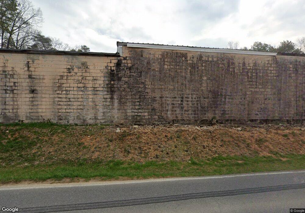
1704 Waring Rd NW Dalton, GA 30721
--
Bed
--
Bath
18,000
Sq Ft
1.01
Acres
About This Home
This home is located at 1704 Waring Rd NW, Dalton, GA 30721. 1704 Waring Rd NW is a home located in Whitfield County with nearby schools including Pleasant Grove Elementary School, New Hope Middle School, and Northwest Whitfield County High School.
Ownership History
Date
Name
Owned For
Owner Type
Purchase Details
Closed on
Nov 30, 2011
Bought by
Hester Roosevelt
Purchase Details
Closed on
Nov 23, 2010
Sold by
Covenant Bank
Bought by
Rosey Hester Steel Rule Die Co
Home Financials for this Owner
Home Financials are based on the most recent Mortgage that was taken out on this home.
Original Mortgage
$257,360
Interest Rate
4.31%
Purchase Details
Closed on
Jun 4, 2004
Sold by
Larmon A J
Bought by
Mathis Terry L
Purchase Details
Closed on
Mar 1, 1990
Bought by
Larmon A J
Create a Home Valuation Report for This Property
The Home Valuation Report is an in-depth analysis detailing your home's value as well as a comparison with similar homes in the area
Home Values in the Area
Average Home Value in this Area
Purchase History
| Date | Buyer | Sale Price | Title Company |
|---|---|---|---|
| Hester Roosevelt | -- | -- | |
| Hester Roosevelt | -- | -- | |
| Rosey Hester Steel Rule Die Co | $255,600 | -- | |
| Mathis Terry L | $210,000 | -- | |
| M M And I Properties | $230,000 | -- | |
| Larmon A J | $80,000 | -- |
Source: Public Records
Mortgage History
| Date | Status | Borrower | Loan Amount |
|---|---|---|---|
| Previous Owner | Rosey Hester Steel Rule Die Co | $257,360 |
Source: Public Records
Tax History Compared to Growth
Tax History
| Year | Tax Paid | Tax Assessment Tax Assessment Total Assessment is a certain percentage of the fair market value that is determined by local assessors to be the total taxable value of land and additions on the property. | Land | Improvement |
|---|---|---|---|---|
| 2024 | $6,459 | $234,529 | $20,200 | $214,329 |
| 2023 | $5,255 | $178,182 | $13,150 | $165,032 |
| 2022 | $3,379 | $114,550 | $13,150 | $101,400 |
| 2021 | $3,380 | $114,550 | $13,150 | $101,400 |
| 2020 | $3,494 | $114,550 | $13,150 | $101,400 |
| 2019 | $3,552 | $114,550 | $13,150 | $101,400 |
| 2018 | $3,609 | $114,550 | $13,150 | $101,400 |
| 2017 | $3,611 | $114,550 | $13,150 | $101,400 |
| 2016 | $3,473 | $114,550 | $13,150 | $101,400 |
| 2014 | $3,083 | $114,550 | $13,150 | $101,400 |
| 2013 | -- | $114,550 | $13,150 | $101,400 |
Source: Public Records
Map
Nearby Homes
- 1903 Summit View Dr
- 1899 Middle Summit Dr Unit 98
- 1903 Middle Summit Dr
- 1899 N Summit Dr Unit 66
- 1706 Chestnut Oak Dr Unit 90
- 1709 Willow Oak Ln Unit 53
- 1614 Waring Rd NW
- 1702 Chestnut Oak Dr
- 1702 Chestnut Oak Dr Unit 83
- 1699 Pin Oak Dr Unit 133
- 503 Moore Dr
- 1699 Burnt Oak Dr Unit 195
- 1699 Burnt Oak Dr
- 1730 Brighton Way
- 110 Pinewood Way
- 1713 Brighton Way
- 1696 Red Oak Dr Unit 184
- 1696 Red Oak Dr
- 1696 Red Oak Dr Unit 181
- 000 Reed Rd
- 1827 Freeport Rd NW
- 1841 Freeport Rd NW
- 1821 Freeport Rd NW
- 1829 Freeport Rd NW
- 1819 Freeport Rd NW
- 1819 Freeport Rd NW
- 506 Brock Dr NW
- 1821 Susan Dr NW
- 1823 Susan Dr NW
- 1827 Susan Dr NW
- 1828 Susan Dr NW
- 1828 Susan Dr NW
- 1829 Susan Dr NW
- 1815 Susan Dr NW
- 1820 Susan Dr NW
- 1897 Summit House Dr Unit 245
- 1897 Summit House Dr Unit 244
- 1897 Summit House Dr
- 1898 Summit House Dr Unit 233
- 1898 Summit House Dr Unit 232