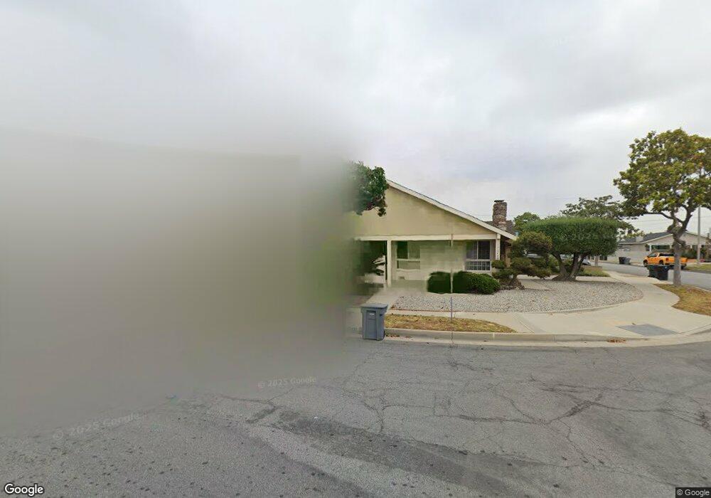
17040 Taylor Ct Torrance, CA 90504
Estimated Value: $1,256,283 - $1,343,000
5
Beds
3
Baths
2,486
Sq Ft
$520/Sq Ft
Est. Value
About This Home
This home is located at 17040 Taylor Ct, Torrance, CA 90504 and is currently estimated at $1,292,821, approximately $520 per square foot. 17040 Taylor Ct is a home located in Los Angeles County with nearby schools including Lincoln Elementary School, Casimir Middle School, and North High School.
Ownership History
Date
Name
Owned For
Owner Type
Purchase Details
Closed on
Oct 15, 2003
Sold by
Hirai June J
Bought by
Hirai June J and June J Hirai Survivors Trust
Current Estimated Value
Purchase Details
Closed on
Nov 8, 1999
Sold by
Hirai George and The Hirai Living Trust
Bought by
Hirai George and Hirai June J
Home Financials for this Owner
Home Financials are based on the most recent Mortgage that was taken out on this home.
Original Mortgage
$53,000
Interest Rate
7.68%
Purchase Details
Closed on
Aug 12, 1999
Sold by
Hirai George and Hirai June J
Bought by
Hirai George and Hirai June J
Create a Home Valuation Report for This Property
The Home Valuation Report is an in-depth analysis detailing your home's value as well as a comparison with similar homes in the area
Home Values in the Area
Average Home Value in this Area
Purchase History
| Date | Buyer | Sale Price | Title Company |
|---|---|---|---|
| Hirai June J | -- | -- | |
| Hirai George | -- | Southland Title Corporation | |
| Hirai George | -- | -- |
Source: Public Records
Mortgage History
| Date | Status | Borrower | Loan Amount |
|---|---|---|---|
| Previous Owner | Hirai George | $53,000 |
Source: Public Records
Tax History Compared to Growth
Tax History
| Year | Tax Paid | Tax Assessment Tax Assessment Total Assessment is a certain percentage of the fair market value that is determined by local assessors to be the total taxable value of land and additions on the property. | Land | Improvement |
|---|---|---|---|---|
| 2025 | $2,825 | $219,431 | $75,058 | $144,373 |
| 2024 | $2,825 | $215,130 | $73,587 | $141,543 |
| 2023 | $2,779 | $210,913 | $72,145 | $138,768 |
| 2022 | $2,741 | $206,779 | $70,731 | $136,048 |
| 2021 | $2,677 | $202,726 | $69,345 | $133,381 |
| 2019 | $2,603 | $196,715 | $67,289 | $129,426 |
| 2018 | $2,454 | $192,859 | $65,970 | $126,889 |
| 2016 | $2,319 | $185,371 | $63,409 | $121,962 |
| 2015 | $2,269 | $182,588 | $62,457 | $120,131 |
| 2014 | $2,221 | $179,012 | $61,234 | $117,778 |
Source: Public Records
Map
Nearby Homes
- 2025 Artesia Blvd Unit G
- 16626 Haas Ave
- 17508 Van Ness Ave
- 2044 166th St
- 1900 Artesia Blvd Unit 63
- 1900 Artesia Blvd Unit 4
- 2527 Artesia Blvd Unit 67
- 16949 S Western Ave Unit 29B
- 16949 S Western Ave Unit 34
- 16949 S Western Ave
- 314 Bridgewater Way Unit 2
- 320 Bridgewater Way Unit 7
- 17024 S Western Ave Unit 36
- 17705 S Western Ave Unit 47
- 17705 S Western Ave Unit 53
- 17705 S Western Ave Unit 39
- 17705 S Western Ave Unit 88
- 17705 S Western Ave Unit 16
- 2406 W 177th St
- 17234 Ardath Ave
- 2035 W 171st St
- 17032 Taylor Ct
- 2031 W 171st St
- 17028 Taylor Ct
- 2057 W 171st St
- 17033 Taylor Ct
- 2050 W 171st St
- 2044 W 171st St
- 2056 W 171st St
- 2036 W 171st St
- 17027 Taylor Ct
- 2032 W 171st St
- 2060 W 171st St
- 17035 Illinois Ct
- 17039 Illinois Ct
- 2036 Verburg Ct
- 17018 Taylor Ct
- 17031 Illinois Ct
- 2030 Verburg Ct
- 17023 Taylor Ct