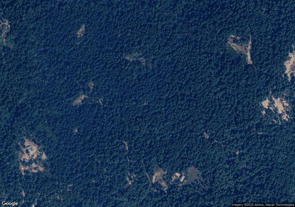
17042 Black Sands Mine Rd Nevada City, CA 95959
Estimated Value: $276,951 - $409,000
1
Bed
1
Bath
776
Sq Ft
$431/Sq Ft
Est. Value
About This Home
This home is located at 17042 Black Sands Mine Rd, Nevada City, CA 95959 and is currently estimated at $334,738, approximately $431 per square foot. 17042 Black Sands Mine Rd is a home located in Nevada County.
Ownership History
Date
Name
Owned For
Owner Type
Purchase Details
Closed on
Jun 6, 2024
Sold by
Koon Wang Sang and Wong Marilyn P
Bought by
Marilyn P Wong And Wang Sang Koon Family Trus and Koon
Current Estimated Value
Purchase Details
Closed on
May 30, 2002
Sold by
Wong Marilyn P and Koon Wang Sang
Bought by
Koon Wang Sang and Wong Marilyn P
Home Financials for this Owner
Home Financials are based on the most recent Mortgage that was taken out on this home.
Original Mortgage
$100,000
Interest Rate
5.96%
Mortgage Type
Purchase Money Mortgage
Purchase Details
Closed on
Jan 4, 2002
Sold by
Wong Marilyn P and Koon Wang Sang
Bought by
Koon Wang Sang and Wong Marilyn P
Purchase Details
Closed on
May 26, 2000
Sold by
Andreotti Vicki A and Andreotti Robert W
Bought by
Koon Wang Sang and Wong Marilyn P
Home Financials for this Owner
Home Financials are based on the most recent Mortgage that was taken out on this home.
Original Mortgage
$96,000
Interest Rate
8.18%
Mortgage Type
Purchase Money Mortgage
Create a Home Valuation Report for This Property
The Home Valuation Report is an in-depth analysis detailing your home's value as well as a comparison with similar homes in the area
Home Values in the Area
Average Home Value in this Area
Purchase History
| Date | Buyer | Sale Price | Title Company |
|---|---|---|---|
| Marilyn P Wong And Wang Sang Koon Family Trus | -- | None Listed On Document | |
| Koon Wang Sang | -- | -- | |
| Koon Wang Sang | -- | -- | |
| Koon Wang Sang | -- | -- | |
| Koon Wang Sang | $120,000 | Fidelity National Title Co |
Source: Public Records
Mortgage History
| Date | Status | Borrower | Loan Amount |
|---|---|---|---|
| Previous Owner | Koon Wang Sang | $100,000 | |
| Previous Owner | Koon Wang Sang | $96,000 |
Source: Public Records
Tax History Compared to Growth
Tax History
| Year | Tax Paid | Tax Assessment Tax Assessment Total Assessment is a certain percentage of the fair market value that is determined by local assessors to be the total taxable value of land and additions on the property. | Land | Improvement |
|---|---|---|---|---|
| 2025 | $1,940 | $169,042 | $61,465 | $107,577 |
| 2024 | $1,862 | $165,728 | $60,260 | $105,468 |
| 2023 | $1,862 | $162,479 | $59,079 | $103,400 |
| 2022 | $1,826 | $159,294 | $57,921 | $101,373 |
| 2021 | $1,770 | $156,172 | $56,786 | $99,386 |
| 2020 | $1,768 | $154,571 | $56,204 | $98,367 |
| 2019 | $1,735 | $151,541 | $55,102 | $96,439 |
| 2018 | $1,704 | $148,571 | $54,022 | $94,549 |
| 2017 | $1,675 | $145,659 | $52,963 | $92,696 |
| 2016 | $1,617 | $142,804 | $51,925 | $90,879 |
| 2015 | $1,599 | $140,660 | $51,146 | $89,514 |
| 2014 | $1,576 | $137,906 | $50,145 | $87,761 |
Source: Public Records
Map
Nearby Homes
- 18418 Cruzon Grade Rd
- 22729 Tyler Foote Crossing Rd
- 17607 Hooker Oak Rd
- 20550 Grizzly Creek Rd
- 18253 Green Ravine Rd
- 20363 Grizzly Creek Rd
- 19707 Grizzly Creek Rd
- 19810 Grizzly Creek Rd
- 17400 Grizzly Ridge Rd
- 18955 Lake City Rd
- 2051 Ridge Rd
- 22281 Back Bone Rd
- 18200 Holley Ravine Rd
- 19455 Hogback Rd
- 18755 N Canyon Rd
- 480 Pike City Rd
- 16995 Gehena Ct
- 18035 Mobley Springs Rd
- 30205 N Bloomfield-Graniteville Rd
- 16633 Azurite Ct
- 16928 Black Sands Mine Rd
- 16266 Holiday Way
- 17263 Black Sands Mine Rd
- 16853 Black Sands Mine Rd
- 26473 Foolsgold Ct
- 17255 Wyatt Earp Rd
- 16538 Holiday Way
- 18038 Cruzon Grade Rd
- 16750 Wyatt Earp Rd
- 17134 Wyatt Earp Rd
- 17360 Wyatt Earp Rd
- 18212 Cruzon Grade Rd
- 16424 Columbia Hill Lookout Rd
- 18174 Cruzon Grade Rd
- 18000 Cruzon Grade Rd
- 16859 Wyatt Earp Rd
- 18372 Cruzon Grade Rd
- 18318 Cruzon Grade Rd
