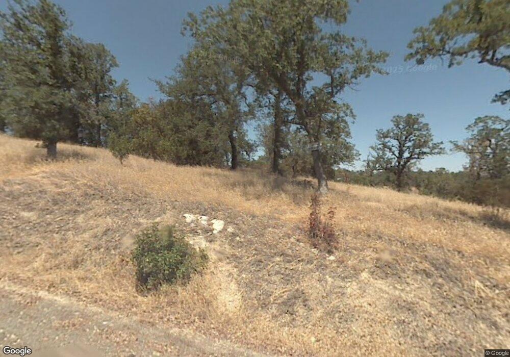
17042 Laramie Point Corning, CA 96021
Estimated Value: $22,023 - $147,000
Studio
--
Bath
--
Sq Ft
1.56
Acres
About This Home
This home is located at 17042 Laramie Point, Corning, CA 96021 and is currently estimated at $64,341. 17042 Laramie Point is a home located in Tehama County with nearby schools including Rancho Tehama Elementary School, Maywood Middle School, and Corning High School.
Ownership History
Date
Name
Owned For
Owner Type
Purchase Details
Closed on
Jul 10, 2019
Sold by
Lee Xee
Bought by
Vue Lee
Current Estimated Value
Purchase Details
Closed on
Mar 15, 2014
Sold by
Thao Paying
Bought by
Lee Xee
Purchase Details
Closed on
Jun 6, 2013
Sold by
Yang Keng and Yang Bee
Bought by
Thao Paying
Purchase Details
Closed on
Feb 7, 2013
Sold by
Mitchell Kenneth and Mitchell Marilyn
Bought by
Yang Keng and Yang Bee
Purchase Details
Closed on
Oct 25, 2011
Sold by
Mitchell Charles K and Mitchell Marilyn I
Bought by
Mitchell Kenneth and Mitchell Marilyn
Create a Home Valuation Report for This Property
The Home Valuation Report is an in-depth analysis detailing your home's value as well as a comparison with similar homes in the area
Purchase History
| Date | Buyer | Sale Price | Title Company |
|---|---|---|---|
| Vue Lee | -- | None Available | |
| Lee Xee | -- | None Available | |
| Thao Paying | -- | None Available | |
| Yang Keng | $8,000 | Placer Title Company | |
| Mitchell Kenneth | -- | None Available |
Source: Public Records
Tax History
| Year | Tax Paid | Tax Assessment Tax Assessment Total Assessment is a certain percentage of the fair market value that is determined by local assessors to be the total taxable value of land and additions on the property. | Land | Improvement |
|---|---|---|---|---|
| 2025 | $94 | $8,746 | $8,746 | -- |
| 2023 | $92 | $8,407 | $8,407 | $0 |
| 2022 | $90 | $8,243 | $8,243 | $0 |
| 2021 | $87 | $8,082 | $8,082 | $0 |
| 2020 | $88 | $8,000 | $8,000 | $0 |
| 2019 | $140 | $13,243 | $13,243 | $0 |
| 2018 | $140 | $12,984 | $12,984 | $0 |
| 2017 | $139 | $12,730 | $12,730 | $0 |
| 2016 | $130 | $12,481 | $12,481 | $0 |
| 2015 | -- | $12,294 | $12,294 | $0 |
| 2014 | $127 | $12,054 | $12,054 | $0 |
Source: Public Records
Map
Nearby Homes
- 6960 Cougar Dr
- 7095 Cougar Dr Unit Lot 630
- 7095 Cougar Dr
- 7030 Oxyoke Bend
- 7126 Coyote Point
- 7298 Chuckwagon Rd
- 6915 Remunda Rd
- 16380 Hillcrest Dr
- 16380 Hillcrest Dr Unit Lot 1104
- 6920 Remunda Rd
- 17333 Wagonwheel Rd
- 16712 Stagecoach Rd
- 17323 Wagon Wheel Dr
- 17324 Wagonwheel Rd
- 17210 Hillcrest Dr
- 17220 Hillcrest Dr
- 17220 Hillcrest Dr Unit Lot 219
- 7285 Bluebird Rd
- 7285 Bluebird Rd Unit Lot 978
- 7452 Live Oak Rd
- 17062 Laramie Point Unit Lot 1403
- 17002 Laramie Point
- 17047 Laramie Point
- 6960 Cougar Dr Unit Lot 1133
- 17087 Laramie Point
- 7035 Cougar Dr
- 6955 Bobcat Ln
- 17115 Fawn Ln Unit Lot 445
- 17065 Fawn Ln
- 17150 Fawn Ln
- 17002 Fawn Ln
- 0 Fawn Ln Unit 200801841
- 434 Fawn Ln
- 428 Fawn Ln
- 430 Fawn Ln
- 453 Fawn Ln
- Lot 450 Fawn Ln
- 17060 Fawn Ln
- 17060 Fawn Ln Unit Lot 426
- 17060 Fawn Ln Unit 425 Muledeer
