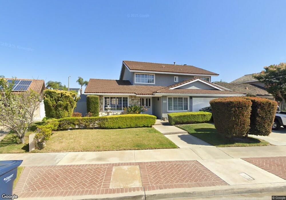
17042 Saint Andrews Ln Huntington Beach, CA 92649
Estimated Value: $1,655,000 - $1,853,000
4
Beds
3
Baths
2,441
Sq Ft
$712/Sq Ft
Est. Value
About This Home
This home is located at 17042 Saint Andrews Ln, Huntington Beach, CA 92649 and is currently estimated at $1,738,817, approximately $712 per square foot. 17042 Saint Andrews Ln is a home located in Orange County with nearby schools including Harbour View Elementary School, Marine View Middle, and Huntington Beach High School.
Ownership History
Date
Name
Owned For
Owner Type
Purchase Details
Closed on
Aug 28, 2017
Sold by
Leal Carlo Magno and Leal Ines P
Bought by
Leal Carlo Magno and Leal Ines P
Current Estimated Value
Home Financials for this Owner
Home Financials are based on the most recent Mortgage that was taken out on this home.
Original Mortgage
$293,500
Interest Rate
3.92%
Mortgage Type
New Conventional
Create a Home Valuation Report for This Property
The Home Valuation Report is an in-depth analysis detailing your home's value as well as a comparison with similar homes in the area
Home Values in the Area
Average Home Value in this Area
Purchase History
| Date | Buyer | Sale Price | Title Company |
|---|---|---|---|
| Leal Carlo Magno | -- | None Available |
Source: Public Records
Mortgage History
| Date | Status | Borrower | Loan Amount |
|---|---|---|---|
| Closed | Leal Carlo Magno | $293,500 |
Source: Public Records
Tax History Compared to Growth
Tax History
| Year | Tax Paid | Tax Assessment Tax Assessment Total Assessment is a certain percentage of the fair market value that is determined by local assessors to be the total taxable value of land and additions on the property. | Land | Improvement |
|---|---|---|---|---|
| 2025 | $7,426 | $662,319 | $477,611 | $184,708 |
| 2024 | $7,426 | $649,333 | $468,246 | $181,087 |
| 2023 | $7,257 | $636,601 | $459,064 | $177,537 |
| 2022 | $7,150 | $624,119 | $450,063 | $174,056 |
| 2021 | $7,018 | $611,882 | $441,238 | $170,644 |
| 2020 | $6,939 | $605,608 | $436,713 | $168,895 |
| 2019 | $6,817 | $593,734 | $428,150 | $165,584 |
| 2018 | $6,663 | $582,093 | $419,755 | $162,338 |
| 2017 | $6,556 | $570,680 | $411,525 | $159,155 |
| 2016 | $6,285 | $559,491 | $403,456 | $156,035 |
| 2015 | $6,189 | $551,087 | $397,395 | $153,692 |
| 2014 | $6,067 | $540,292 | $389,610 | $150,682 |
Source: Public Records
Map
Nearby Homes
- 17352 Eucalyptus Ln
- 17042 Twain Ln
- 5262 Glenroy Dr
- 5241 Glenroy Dr
- 17202 Corbina Ln Unit 108
- 17191 Corbina Ln Unit 110
- 16832 Roosevelt Ln
- 17372 Forbes Ln
- 17532 Montbury Cir
- 5200 Heil Ave Unit 18
- 5200 Heil Ave Unit 8
- 6051 Summerdale Dr
- 5591 Heil Ave
- 17071 Pinehurst Ln
- 16542 Los Verdes Ln
- 4822 Tiara Dr Unit 104
- 16771 Green Ln
- 17322 Wareham Ln
- 17291 Wareham Ln
- 17272 Tidalridge Ln
- 17052 Saint Andrews Ln
- 17032 Saint Andrews Ln
- 17072 Saint Andrews Ln
- 5451 El Dorado Dr
- 17041 Saint Andrews Ln
- 17051 Saint Andrews Ln
- 17041 Berlin Ln
- 17031 Berlin Ln
- 17051 Berlin Ln
- 5441 El Dorado Dr
- 17071 Saint Andrews Ln
- 17071 Berlin Ln
- 5511 Rogers Dr
- 5431 El Dorado Dr
- 17081 Saint Andrews Ln
- 5422 El Dorado Dr
- 17092 Saint Andrews Ln
- 5421 El Dorado Dr
- 17091 Saint Andrews Ln
- 17082 Pleasant Cir