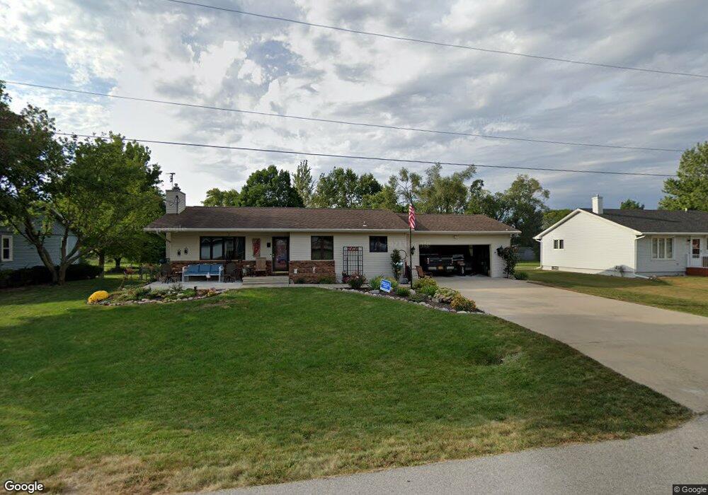
1705 Linden St Granger, IA 50109
Estimated Value: $238,000 - $300,954
2
Beds
1
Bath
1,092
Sq Ft
$245/Sq Ft
Est. Value
About This Home
This home is located at 1705 Linden St, Granger, IA 50109 and is currently estimated at $267,489, approximately $244 per square foot. 1705 Linden St is a home located in Dallas County with nearby schools including Woodward-Granger Elementary School and Woodward-Granger Middle School.
Ownership History
Date
Name
Owned For
Owner Type
Purchase Details
Closed on
Nov 27, 2018
Sold by
Smith Keri L
Bought by
Smith Keri Lynn and Keri Lynn Smith Revocable Trust
Current Estimated Value
Purchase Details
Closed on
Aug 22, 2008
Sold by
Michael Dwayne R and Michael Donna M
Bought by
Smith Keri L
Home Financials for this Owner
Home Financials are based on the most recent Mortgage that was taken out on this home.
Original Mortgage
$142,755
Outstanding Balance
$92,419
Interest Rate
6.31%
Mortgage Type
New Conventional
Estimated Equity
$175,070
Create a Home Valuation Report for This Property
The Home Valuation Report is an in-depth analysis detailing your home's value as well as a comparison with similar homes in the area
Home Values in the Area
Average Home Value in this Area
Purchase History
| Date | Buyer | Sale Price | Title Company |
|---|---|---|---|
| Smith Keri Lynn | -- | None Available | |
| Smith Keri L | $140,000 | None Available |
Source: Public Records
Mortgage History
| Date | Status | Borrower | Loan Amount |
|---|---|---|---|
| Open | Smith Keri L | $142,755 |
Source: Public Records
Tax History
| Year | Tax Paid | Tax Assessment Tax Assessment Total Assessment is a certain percentage of the fair market value that is determined by local assessors to be the total taxable value of land and additions on the property. | Land | Improvement |
|---|---|---|---|---|
| 2025 | $4,310 | $283,160 | $62,700 | $220,460 |
| 2024 | $4,574 | $245,790 | $47,030 | $198,760 |
| 2023 | $4,574 | $245,790 | $47,030 | $198,760 |
| 2022 | $4,390 | $219,000 | $47,030 | $171,970 |
| 2021 | $3,836 | $196,710 | $47,030 | $149,680 |
| 2020 | $3,734 | $182,900 | $47,030 | $135,870 |
| 2019 | $3,590 | $182,900 | $47,030 | $135,870 |
| 2018 | $3,590 | $165,320 | $35,360 | $129,960 |
| 2017 | $3,586 | $165,320 | $35,360 | $129,960 |
| 2016 | $3,374 | $156,230 | $35,360 | $120,870 |
| 2015 | $2,812 | $135,690 | $0 | $0 |
| 2014 | $2,812 | $135,690 | $0 | $0 |
Source: Public Records
Map
Nearby Homes
- 1906 Lowell St
- 2009 Locust St
- 2206 White Oak Ln
- 2103 White Oak Ln
- 1517 Maple St
- 2209 White Oak Ln
- 1513 Maple St
- 2208 White Oak Ln
- 1509 Maple St
- 33047 Finestead Dr
- 2100 White Oak Ln
- 2407 Chestnut St
- 2413 Spruce St
- 1803 Walnut St
- 2220 Kennedy Blvd
- 2415 Spruce St
- 2412 Spruce St
- 2417 Spruce St
- 2419 Spruce St
- 2311 Oxley Dr
Your Personal Tour Guide
Ask me questions while you tour the home.