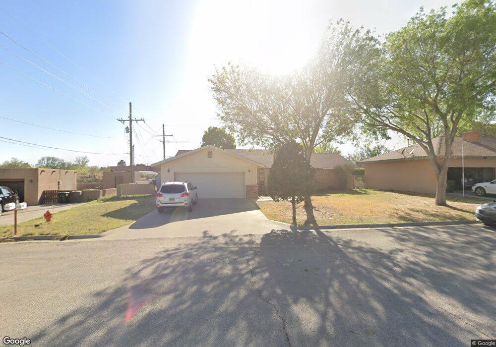
1705 Loretta Ln Carlsbad, NM 88220
Estimated Value: $283,772 - $351,000
--
Bed
--
Bath
2,048
Sq Ft
$156/Sq Ft
Est. Value
About This Home
This home is located at 1705 Loretta Ln, Carlsbad, NM 88220 and is currently estimated at $320,193, approximately $156 per square foot. 1705 Loretta Ln is a home located in Eddy County with nearby schools including Ocotillo Elementary School, Carlsbad Intermediate School - PR Leyva Campus, and Carlsbad High School.
Ownership History
Date
Name
Owned For
Owner Type
Purchase Details
Closed on
May 8, 2025
Sold by
Dossey Linda and Young Linda
Bought by
Bannister Christian and Bannister Valeria
Current Estimated Value
Home Financials for this Owner
Home Financials are based on the most recent Mortgage that was taken out on this home.
Original Mortgage
$255,600
Outstanding Balance
$254,695
Interest Rate
6.65%
Mortgage Type
New Conventional
Estimated Equity
$65,498
Create a Home Valuation Report for This Property
The Home Valuation Report is an in-depth analysis detailing your home's value as well as a comparison with similar homes in the area
Home Values in the Area
Average Home Value in this Area
Purchase History
| Date | Buyer | Sale Price | Title Company |
|---|---|---|---|
| Bannister Christian | -- | Pioneer Title | |
| Bannister Christian | -- | Pioneer Title |
Source: Public Records
Mortgage History
| Date | Status | Borrower | Loan Amount |
|---|---|---|---|
| Open | Bannister Christian | $255,600 | |
| Closed | Bannister Christian | $255,600 |
Source: Public Records
Tax History Compared to Growth
Tax History
| Year | Tax Paid | Tax Assessment Tax Assessment Total Assessment is a certain percentage of the fair market value that is determined by local assessors to be the total taxable value of land and additions on the property. | Land | Improvement |
|---|---|---|---|---|
| 2025 | $1,545 | $62,844 | $6,605 | $56,239 |
| 2024 | $1,517 | $61,014 | $6,604 | $54,410 |
| 2023 | $1,517 | $59,238 | $6,601 | $52,637 |
| 2022 | $1,403 | $56,876 | $6,599 | $50,277 |
| 2021 | $1,398 | $56,876 | $6,599 | $50,277 |
| 2020 | $30 | $56,876 | $6,599 | $50,277 |
| 2019 | $1,445 | $56,876 | $6,599 | $50,277 |
| 2018 | $1,438 | $56,876 | $6,599 | $50,277 |
| 2017 | $1,471 | $58,582 | $6,797 | $51,785 |
| 2015 | $1,551 | $0 | $0 | $0 |
| 2014 | $1,366 | $0 | $0 | $0 |
Source: Public Records
Map
Nearby Homes
- 1502 Mountain Shadow Dr
- 1711 Live Oak Place
- 1611 Palo Verde Loop
- 1614 Live Oak Place
- 1510 S Country Club Cir
- 1619 Redwood Loop
- 1100 Chitalpa Ct
- 1215 Bryan Cir
- 1403 S Country Club Cir
- 1905 Callaway Dr
- 1840 Amber Dr
- 1308 Gamma Ave
- 1835 Lanette Dr
- 2112 Westridge Rd
- 1412 Doepp Dr
- 2116 Westridge Rd
- 1209 Cedar Dr
- 1311 Westridge Rd
- 1507 Samoa Ct
- 1909 Troy Dr
- 1707 Loretta Ln
- 1703 Loretta Ln
- 1709 Loretta Ln
- 1711 Loretta Ln
- 1712 Loretta Ln
- 1714 Loretta Ln
- 1714 Johnson St
- 1418 N Country Club Cir
- 1420 N Country Club Cir
- 1422 N Country Club Cir
- 1424 N Country Club Cir
- 1717 Live Oak Place
- 1416 N Country Club Cir
- 1414 N Country Club Cir
- 1501 Mountain Shadow Dr
- 1101 Callaway Dr Unit 5301
- 1101 Callaway Dr Unit 1505
- 1426 N Country Club Cir
- 1716 Live Oak Place
- 1412 N Country Club Cir