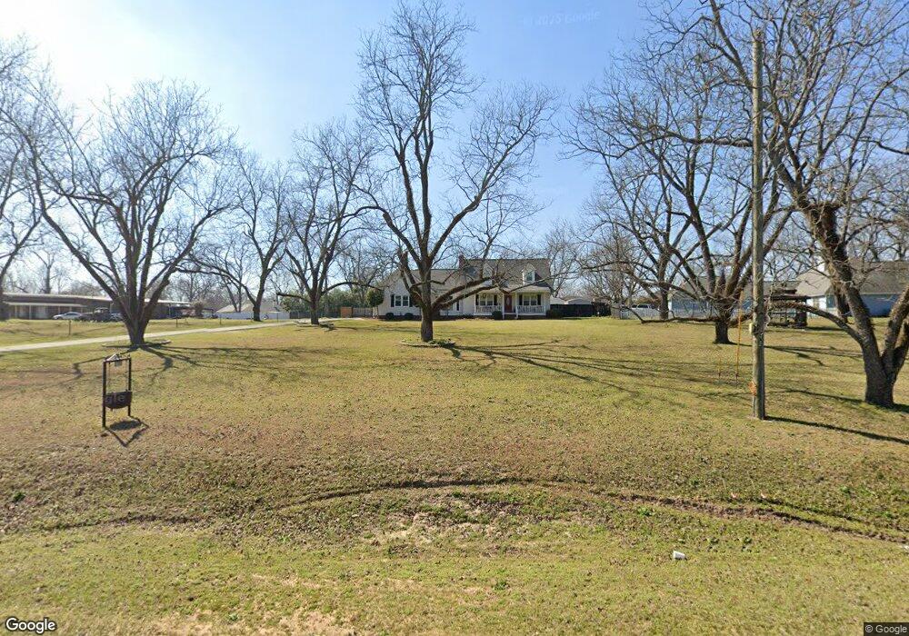
1705 N Houston Lake Blvd Warner Robins, GA 31093
Estimated Value: $269,000 - $314,000
3
Beds
4
Baths
2,325
Sq Ft
$128/Sq Ft
Est. Value
About This Home
This home is located at 1705 N Houston Lake Blvd, Warner Robins, GA 31093 and is currently estimated at $298,732, approximately $128 per square foot. 1705 N Houston Lake Blvd is a home located in Houston County with nearby schools including Northside Elementary School, Thomson Middle School, and Northside High School.
Ownership History
Date
Name
Owned For
Owner Type
Purchase Details
Closed on
Sep 27, 2007
Sold by
Dickey Rodney H
Bought by
Womack Sandra H
Current Estimated Value
Home Financials for this Owner
Home Financials are based on the most recent Mortgage that was taken out on this home.
Original Mortgage
$137,600
Outstanding Balance
$24,041
Interest Rate
6.57%
Mortgage Type
New Conventional
Estimated Equity
$274,691
Purchase Details
Closed on
Sep 20, 2007
Sold by
Corrects 916 and Corrects 660
Bought by
Dickey Rodney H
Home Financials for this Owner
Home Financials are based on the most recent Mortgage that was taken out on this home.
Original Mortgage
$137,600
Outstanding Balance
$24,041
Interest Rate
6.57%
Mortgage Type
New Conventional
Estimated Equity
$274,691
Purchase Details
Closed on
May 7, 1991
Sold by
Hayes Gregory K and Hayes Cindy D
Bought by
Dickey Rodney H
Purchase Details
Closed on
Dec 30, 1986
Bought by
Hayes Gregory K and Hayes Cindy D
Create a Home Valuation Report for This Property
The Home Valuation Report is an in-depth analysis detailing your home's value as well as a comparison with similar homes in the area
Home Values in the Area
Average Home Value in this Area
Purchase History
| Date | Buyer | Sale Price | Title Company |
|---|---|---|---|
| Womack Sandra H | $172,000 | None Available | |
| Dickey Rodney H | -- | -- | |
| Dickey Rodney H | -- | -- | |
| Hayes Gregory K | -- | -- |
Source: Public Records
Mortgage History
| Date | Status | Borrower | Loan Amount |
|---|---|---|---|
| Open | Womack Sandra H | $137,600 |
Source: Public Records
Tax History Compared to Growth
Tax History
| Year | Tax Paid | Tax Assessment Tax Assessment Total Assessment is a certain percentage of the fair market value that is determined by local assessors to be the total taxable value of land and additions on the property. | Land | Improvement |
|---|---|---|---|---|
| 2024 | $2,167 | $99,680 | $11,000 | $88,680 |
| 2023 | $1,975 | $83,720 | $11,000 | $72,720 |
| 2022 | $1,737 | $73,880 | $8,760 | $65,120 |
| 2021 | $1,666 | $70,560 | $8,760 | $61,800 |
| 2020 | $1,562 | $65,240 | $8,760 | $56,480 |
| 2019 | $1,544 | $65,240 | $8,760 | $56,480 |
| 2018 | $1,545 | $65,280 | $8,800 | $56,480 |
| 2017 | $1,546 | $65,280 | $8,800 | $56,480 |
| 2016 | $1,548 | $65,280 | $8,800 | $56,480 |
| 2015 | $1,552 | $65,280 | $8,800 | $56,480 |
| 2014 | -- | $63,440 | $8,800 | $54,640 |
| 2013 | -- | $63,440 | $8,800 | $54,640 |
Source: Public Records
Map
Nearby Homes
- 315 Silver Cir
- 411 High View Way
- 4001 U S 41 Unit LOT 65
- 306 Antebellum Cir
- 211 River Birch Way
- 207 Longleaf Dr
- 102 Winged Elm Grove
- 205 Longleaf Dr
- 214 River Birch Way
- 204 River Birch Way
- 104 Winged Elm Grove
- 318 Air View Dr Unit 10
- Magnolia Plan at Ridgeview
- 320 Air View Dr Unit 11
- 317 Air View Dr
- 310 Air View Dr Unit 6
- 304 Air View Dr Unit 3
- 304 Air View Dr
- 312 Air View Dr Unit 7
- Aspen Plan at Ridgeview
- 101 Silver Cir
- 105 Silver Cir
- 1617 N Houston Lake Blvd
- 105 Kathy Ln
- 103 Kathy Ln
- 109 John Ct
- 107 Silver Cir
- 137 Wellston Cir
- 101 Wellston Cir
- 100 Silver Cir
- 107 John Ct
- 1613 N Houston Lake Blvd
- 102 Silver Cir
- 110 John Ct
- 104 Silver Cir
- 104 Kathy Ln
- 106 Kathy Ln
- 102 Kathy Ln
- 106 Silver Cir
- 135 Wellston Cir