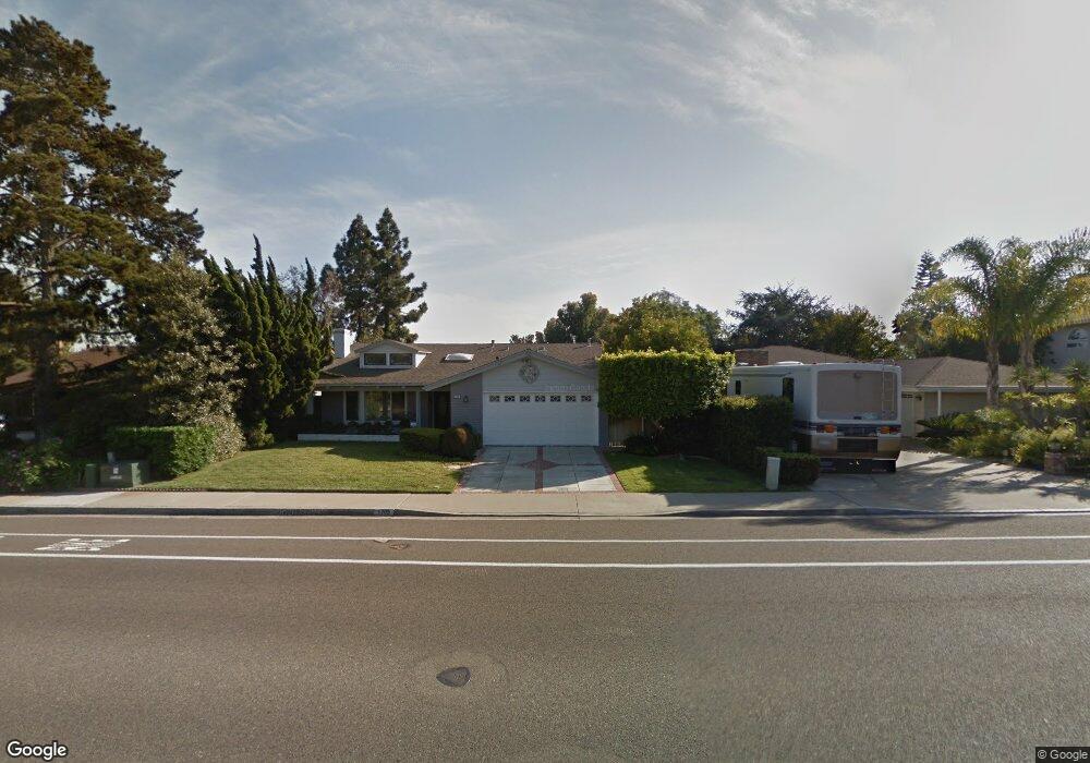
1705 Tamarack Ave Carlsbad, CA 92008
Olde Carlsbad NeighborhoodEstimated Value: $1,361,000 - $1,652,382
4
Beds
3
Baths
1,918
Sq Ft
$798/Sq Ft
Est. Value
About This Home
This home is located at 1705 Tamarack Ave, Carlsbad, CA 92008 and is currently estimated at $1,530,846, approximately $798 per square foot. 1705 Tamarack Ave is a home located in San Diego County with nearby schools including Magnolia Elementary, Carlsbad High School, and Sage Creek High.
Ownership History
Date
Name
Owned For
Owner Type
Purchase Details
Closed on
Nov 5, 2018
Sold by
Turpin Deborah L and The 1991 John And Billie Green
Bought by
Wilson Mark E and Costello Holly R
Current Estimated Value
Home Financials for this Owner
Home Financials are based on the most recent Mortgage that was taken out on this home.
Original Mortgage
$550,000
Outstanding Balance
$465,619
Interest Rate
3.12%
Mortgage Type
Adjustable Rate Mortgage/ARM
Estimated Equity
$1,065,227
Purchase Details
Closed on
Mar 1, 2007
Sold by
Green John M
Bought by
Green John M
Create a Home Valuation Report for This Property
The Home Valuation Report is an in-depth analysis detailing your home's value as well as a comparison with similar homes in the area
Home Values in the Area
Average Home Value in this Area
Purchase History
| Date | Buyer | Sale Price | Title Company |
|---|---|---|---|
| Wilson Mark E | $790,000 | First American Title Company | |
| Green John M | -- | None Available |
Source: Public Records
Mortgage History
| Date | Status | Borrower | Loan Amount |
|---|---|---|---|
| Open | Wilson Mark E | $550,000 |
Source: Public Records
Tax History
| Year | Tax Paid | Tax Assessment Tax Assessment Total Assessment is a certain percentage of the fair market value that is determined by local assessors to be the total taxable value of land and additions on the property. | Land | Improvement |
|---|---|---|---|---|
| 2025 | $9,209 | $881,254 | $231,655 | $649,599 |
| 2024 | $9,209 | $863,975 | $227,113 | $636,862 |
| 2023 | $9,161 | $847,035 | $222,660 | $624,375 |
| 2022 | $9,019 | $830,428 | $218,295 | $612,133 |
| 2021 | $8,950 | $814,146 | $214,015 | $600,131 |
| 2020 | $8,890 | $805,799 | $211,821 | $593,978 |
| 2019 | $8,728 | $790,000 | $207,668 | $582,332 |
| 2018 | $907 | $81,774 | $21,496 | $60,278 |
| 2017 | $892 | $80,172 | $21,075 | $59,097 |
| 2016 | $856 | $78,601 | $20,662 | $57,939 |
| 2015 | $852 | $77,421 | $20,352 | $57,069 |
| 2014 | $839 | $75,906 | $19,954 | $55,952 |
Source: Public Records
Map
Nearby Homes
- 1733 Schooner Way Unit 1
- 3736 Donna Ct
- 3920 Holly Brae Ln
- 4269 Hillside Dr
- 3768 Skyline Rd
- 4390 Yuki Ln
- 3630 Donna Dr
- 4623 Telescope Ave
- 1199 Tamarack Ave
- 1896 E Pointe Ave
- 1115 Hoover St
- 1741 Bruce Rd
- 0 Hoover St
- 4332 Adams St
- 4340 Adams St
- 3880 Adams St
- 1095 Hoover St
- 4640 Coralwood Cir
- 4505 Coastline Ave
- 4235 Harrison St
Your Personal Tour Guide
Ask me questions while you tour the home.