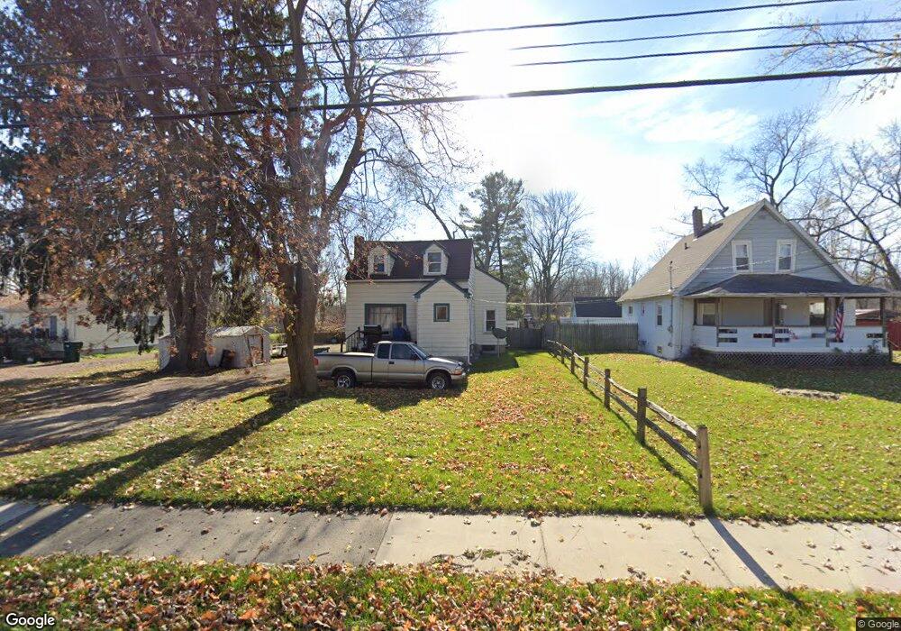
1705 W Jolly Rd Lansing, MI 48910
Southern Lansing NeighborhoodEstimated Value: $132,000 - $141,000
--
Bed
2
Baths
1,180
Sq Ft
$117/Sq Ft
Est. Value
About This Home
This home is located at 1705 W Jolly Rd, Lansing, MI 48910 and is currently estimated at $137,701, approximately $116 per square foot. 1705 W Jolly Rd is a home located in Ingham County with nearby schools including Reo Elementary School, Attwood School, and Everett High School.
Ownership History
Date
Name
Owned For
Owner Type
Purchase Details
Closed on
May 26, 2005
Sold by
Oviedo Kathleen E
Bought by
Latunski Jeremy
Current Estimated Value
Home Financials for this Owner
Home Financials are based on the most recent Mortgage that was taken out on this home.
Original Mortgage
$87,805
Outstanding Balance
$45,693
Interest Rate
5.91%
Mortgage Type
FHA
Estimated Equity
$92,008
Purchase Details
Closed on
Oct 30, 1993
Sold by
Baddit Ronald D and Bonnie Baddit
Bought by
Oviedo Kathleen E
Purchase Details
Closed on
Jan 1, 1992
Create a Home Valuation Report for This Property
The Home Valuation Report is an in-depth analysis detailing your home's value as well as a comparison with similar homes in the area
Home Values in the Area
Average Home Value in this Area
Purchase History
| Date | Buyer | Sale Price | Title Company |
|---|---|---|---|
| Latunski Jeremy | $88,500 | Devon Title | |
| Oviedo Kathleen E | $42,500 | -- | |
| -- | $38,100 | -- |
Source: Public Records
Mortgage History
| Date | Status | Borrower | Loan Amount |
|---|---|---|---|
| Open | Latunski Jeremy | $87,805 |
Source: Public Records
Tax History Compared to Growth
Tax History
| Year | Tax Paid | Tax Assessment Tax Assessment Total Assessment is a certain percentage of the fair market value that is determined by local assessors to be the total taxable value of land and additions on the property. | Land | Improvement |
|---|---|---|---|---|
| 2025 | $1,951 | $62,600 | $12,200 | $50,400 |
| 2024 | $15 | $47,400 | $12,200 | $35,200 |
| 2023 | $1,831 | $41,700 | $12,200 | $29,500 |
| 2022 | $1,654 | $38,300 | $7,800 | $30,500 |
| 2021 | $1,620 | $32,600 | $7,600 | $25,000 |
| 2020 | $1,610 | $31,200 | $7,600 | $23,600 |
| 2019 | $1,541 | $29,200 | $7,600 | $21,600 |
| 2018 | $1,447 | $24,100 | $7,600 | $16,500 |
| 2017 | $1,384 | $24,100 | $7,600 | $16,500 |
| 2016 | $1,435 | $23,800 | $7,600 | $16,200 |
| 2015 | $1,435 | $23,200 | $15,166 | $8,034 |
| 2014 | $1,435 | $24,900 | $24,644 | $256 |
Source: Public Records
Map
Nearby Homes
- 4916 Tressa Dr
- 0 Midwood St
- 1324 N Briarfield Dr
- 4620 Christiansen Rd
- 1729 Reo Rd
- 1415 Reo Rd
- 1420 Reo Rd
- 0 W Jolly Rd
- 2045 Moffitt St
- 1429 Pierce Rd
- 1500 Pierce Rd
- 1422 Pierce Rd
- 4628 Pleasant Grove Rd
- 5026 Delray Dr Unit A
- 4935 Delray Dr
- 4414 S Martin Luther King jr Blvd
- 5006 Delbrook Ave
- 2416 Midwood St
- 833 Dornell Ave
- 5750 Ashley Dr
- 1711 W Jolly Rd
- 1621 W Jolly Rd
- 1613 W Jolly Rd
- 1723 W Jolly Rd
- 1716 W Jolly Rd
- 1616 W Jolly Rd
- 1607 W Jolly Rd
- 1600 W Jolly Rd
- 1729 W Jolly Rd
- 1710 W Jolly Rd
- 1523 W Jolly Rd
- 1732 W Jolly Rd
- 1524 W Jolly Rd
- 1738 W Jolly Rd
- 1518 W Jolly Rd
- 1805 W Jolly Rd
- 1505 W Jolly Rd
- 1808 W Jolly Rd
- 1811 W Jolly Rd
- 1509 W Jolly Rd