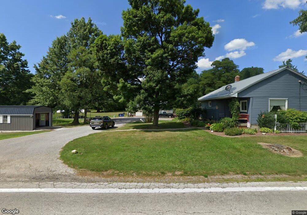
17056 S Range Rd Beloit, OH 44609
Estimated Value: $141,000 - $174,000
2
Beds
1
Bath
1,090
Sq Ft
$146/Sq Ft
Est. Value
About This Home
This home is located at 17056 S Range Rd, Beloit, OH 44609 and is currently estimated at $158,769, approximately $145 per square foot. 17056 S Range Rd is a home located in Mahoning County with nearby schools including West Branch Middle School and West Branch High School.
Create a Home Valuation Report for This Property
The Home Valuation Report is an in-depth analysis detailing your home's value as well as a comparison with similar homes in the area
Tax History
| Year | Tax Paid | Tax Assessment Tax Assessment Total Assessment is a certain percentage of the fair market value that is determined by local assessors to be the total taxable value of land and additions on the property. | Land | Improvement |
|---|---|---|---|---|
| 2025 | $1,116 | $40,810 | $10,680 | $30,130 |
| 2024 | $1,129 | $40,810 | $10,680 | $30,130 |
| 2023 | $1,130 | $40,810 | $10,680 | $30,130 |
| 2022 | $779 | $28,280 | $8,540 | $19,740 |
| 2021 | $780 | $28,280 | $8,540 | $19,740 |
| 2020 | $783 | $28,280 | $8,540 | $19,740 |
| 2019 | $688 | $24,990 | $8,540 | $16,450 |
| 2018 | $685 | $24,990 | $8,540 | $16,450 |
| 2017 | $682 | $24,990 | $8,540 | $16,450 |
| 2016 | $718 | $25,980 | $9,690 | $16,290 |
| 2015 | $696 | $25,980 | $9,690 | $16,290 |
| 2014 | $700 | $25,980 | $9,690 | $16,290 |
| 2013 | $693 | $25,980 | $9,690 | $16,290 |
Source: Public Records
Map
Nearby Homes
- 15938 W South Range Rd
- 18262 W Pine Lake Rd
- 17325 5th St
- 18280 5th St
- 18061 Derr Ave
- 11 Redwood St
- 57 Redwood St
- 945 N 12th St
- 1005 N 13th St
- 726 N 12th St
- 345 E Indiana Ave
- 0 W Nevada Ave Unit 5181868
- 166 E Michigan Ave
- 125 E Indiana Ave
- 157 E Ohio Ave
- 175 W Ohio Ave
- 406 W Indiana Ave
- 430 Hillsdale St
- 14831 Smith Goshen Rd
- 423 S 14th St
- 11991 Smith Goshen Rd
- 11957 Smith Goshen Rd
- 11889 Smith Goshen Rd
- 16792 S Range Rd
- 11712 Smith Goshen Rd
- 17239 S Range Rd
- 16721 S Range Rd
- 16708 S Range Rd
- 12720 Smith Goshen Rd
- 12090 Malmsberry Rd
- 11600 Smith Goshen Rd
- 16650 S Range Rd
- 11548 Smith Goshen Rd
- 17174 Courtney Rd
- 12803 Smith Goshen Rd
- 17165 Courtney Rd
- 11599 Smith Goshen Rd
- 11470 Smith Goshen Rd
- 16485 W South Range Rd
- 16485 S Range Rd
Your Personal Tour Guide
Ask me questions while you tour the home.