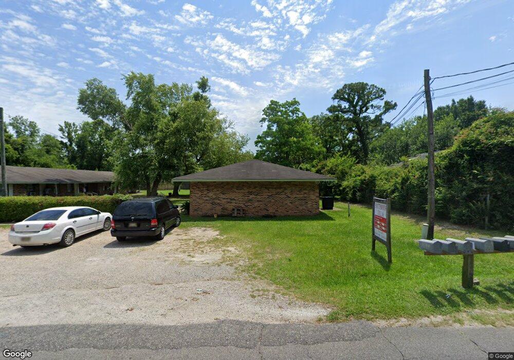
1706 42nd Unit 2 Gulfport, MS 39501
Central Gulfport NeighborhoodEstimated Value: $138,000 - $466,000
--
Bed
--
Bath
--
Sq Ft
0.33
Acres
About This Home
This home is located at 1706 42nd Unit 2, Gulfport, MS 39501 and is currently estimated at $302,000. 1706 42nd Unit 2 is a home located in Harrison County with nearby schools including Gulfport Central Middle School and Gulfport High School.
Ownership History
Date
Name
Owned For
Owner Type
Purchase Details
Closed on
Feb 6, 2024
Sold by
4-D Enterprise Llc
Bought by
Neal Adam L
Current Estimated Value
Home Financials for this Owner
Home Financials are based on the most recent Mortgage that was taken out on this home.
Original Mortgage
$23,000
Outstanding Balance
$8,876
Interest Rate
6.61%
Mortgage Type
New Conventional
Estimated Equity
$293,124
Purchase Details
Closed on
Aug 17, 2023
Sold by
Neal Adam
Bought by
Mcghee Dale W and Nzvicghee Deborah N
Create a Home Valuation Report for This Property
The Home Valuation Report is an in-depth analysis detailing your home's value as well as a comparison with similar homes in the area
Home Values in the Area
Average Home Value in this Area
Purchase History
| Date | Buyer | Sale Price | Title Company |
|---|---|---|---|
| Neal Adam L | -- | None Listed On Document | |
| Mcghee Dale W | -- | None Listed On Document |
Source: Public Records
Mortgage History
| Date | Status | Borrower | Loan Amount |
|---|---|---|---|
| Open | Neal Adam L | $23,000 | |
| Open | Neal Adam L | $89,000 |
Source: Public Records
Tax History Compared to Growth
Tax History
| Year | Tax Paid | Tax Assessment Tax Assessment Total Assessment is a certain percentage of the fair market value that is determined by local assessors to be the total taxable value of land and additions on the property. | Land | Improvement |
|---|---|---|---|---|
| 2024 | $364 | $2,760 | $0 | $0 |
| 2023 | $373 | $2,760 | $0 | $0 |
| 2022 | $373 | $2,760 | $0 | $0 |
| 2021 | $373 | $2,760 | $0 | $0 |
| 2020 | $373 | $2,760 | $0 | $0 |
| 2019 | $373 | $2,760 | $0 | $0 |
| 2018 | $373 | $2,760 | $0 | $0 |
| 2017 | $373 | $2,760 | $0 | $0 |
| 2015 | $373 | $2,760 | $0 | $0 |
| 2014 | -- | $4,600 | $0 | $0 |
| 2013 | -- | $2,760 | $2,760 | $0 |
Source: Public Records
Map
Nearby Homes
- 1873 43rd Ave
- 1715 Terrace Dr
- 2020 41st Ave
- 3811 20th St
- 0 40th Ave
- 1200 44th Ave
- 00 Floral Walk Dr
- 1724 Wisteria St
- 3607 Park Blvd
- 1705 Oleander Ave
- 1320 37th Ave
- 0 11th St
- 0 49th Ave
- 915 39th Ave
- 813 42nd Ave
- 5006 W Railroad St
- Parcel 1 Woodward Ave
- Parcel 2 Woodward Ave
- Parcel 3 Woodward Ave
- 805 42nd Ave