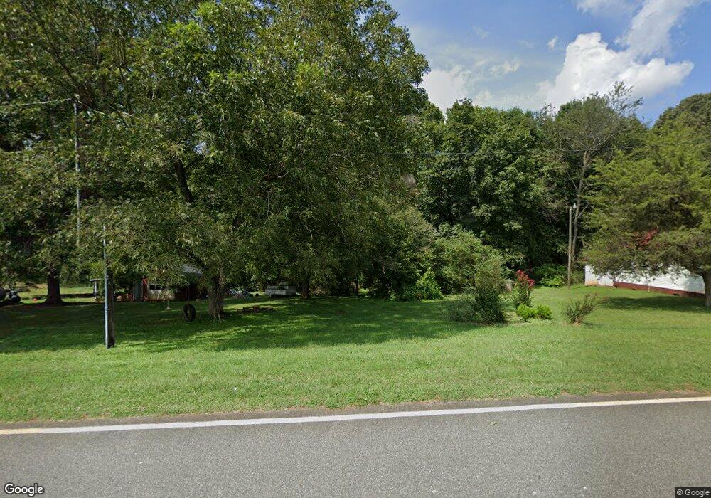
1706 Daniels Rd Lincolnton, NC 28092
Estimated Value: $367,000 - $538,754
3
Beds
1
Bath
938
Sq Ft
$492/Sq Ft
Est. Value
About This Home
This home is located at 1706 Daniels Rd, Lincolnton, NC 28092 and is currently estimated at $461,689, approximately $492 per square foot. 1706 Daniels Rd is a home located in Lincoln County with nearby schools including Union Elementary School, West Lincoln Middle, and West Lincoln High School.
Ownership History
Date
Name
Owned For
Owner Type
Purchase Details
Closed on
Feb 13, 2012
Sold by
Conner Max
Bought by
Nocher Hans Joachim and Nocher Andrea St John
Current Estimated Value
Home Financials for this Owner
Home Financials are based on the most recent Mortgage that was taken out on this home.
Original Mortgage
$450,000
Outstanding Balance
$54,626
Interest Rate
3.91%
Mortgage Type
Purchase Money Mortgage
Estimated Equity
$407,063
Create a Home Valuation Report for This Property
The Home Valuation Report is an in-depth analysis detailing your home's value as well as a comparison with similar homes in the area
Home Values in the Area
Average Home Value in this Area
Purchase History
| Date | Buyer | Sale Price | Title Company |
|---|---|---|---|
| Nocher Hans Joachim | $210,000 | None Available |
Source: Public Records
Mortgage History
| Date | Status | Borrower | Loan Amount |
|---|---|---|---|
| Open | Nocher Hans Joachim | $450,000 |
Source: Public Records
Tax History Compared to Growth
Tax History
| Year | Tax Paid | Tax Assessment Tax Assessment Total Assessment is a certain percentage of the fair market value that is determined by local assessors to be the total taxable value of land and additions on the property. | Land | Improvement |
|---|---|---|---|---|
| 2025 | $1,086 | $506,161 | $401,877 | $104,284 |
| 2024 | $1,066 | $506,161 | $401,877 | $104,284 |
| 2023 | $1,061 | $506,161 | $401,877 | $104,284 |
| 2022 | $811 | $297,883 | $240,593 | $57,290 |
| 2021 | $811 | $297,883 | $240,593 | $57,290 |
| 2020 | $681 | $297,883 | $240,593 | $57,290 |
| 2019 | $681 | $297,883 | $240,593 | $57,290 |
| 2018 | $706 | $239,454 | $191,276 | $48,178 |
| 2017 | $605 | $239,454 | $191,276 | $48,178 |
| 2016 | $577 | $239,454 | $191,276 | $48,178 |
| 2015 | $651 | $239,454 | $191,276 | $48,178 |
| 2014 | $2,364 | $339,015 | $300,348 | $38,667 |
Source: Public Records
Map
Nearby Homes
- 2238 Mintew Cir
- 2614 Reepsville Rd
- 000 Flag Ln Unit 53
- 3817 Spike Ln
- 1643 Flag Ln
- 2064 Colorado Ct
- 1983 Seagletown Rd
- 4318 Katie Reep Ln
- 1551 J Rhyne Reep Rd
- 3379 Killian Rd
- 1712 Cline Farm Rd
- 2508 Rock Dam Rd
- 142 Alf Hoover Rd
- 2748 Eagle Dr
- 110 Alf Hoover Rd
- 1939 River Rd
- 3579 June Bug Rd
- 0 Hillard Ln
- 1865 Rockdam Creek Ct
- 00 Pleasant Grove Church Rd
- 1714 Daniels Rd
- 1737 Daniels Rd
- 1705 Daniels Rd
- 1729 Daniels Rd
- 1613 Daniels Rd
- 1579 Daniels Rd
- Lot 5 Daniels Rd
- 2256 Edwards Farm Ln
- 3205 Reepsville Rd
- 3269 Reepsville Rd
- 3125 Reepsville Rd
- 3417 Reepsville Rd
- 3283 Reepsville Rd
- 1661 Owls Den Rd
- 2436 Mintew Cir
- 1645 Owls Den Rd
- 3248 Reepsville Rd
- Lot 28 Mintew Cir
- Lot 28 Mintew Cir Unit 28
- 2446 Mintew Cir
