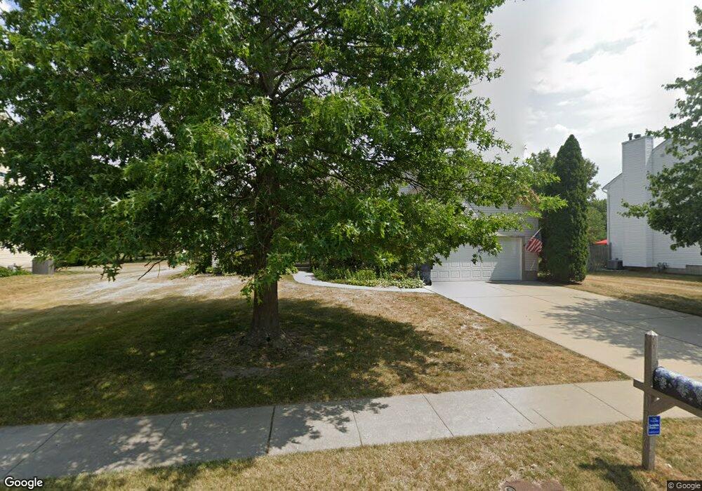
1706 Hessian Dr Williamstown, NJ 08094
Monroe Township Gloucester NeighborhoodEstimated Value: $423,384 - $477,000
--
Bed
--
Bath
1,870
Sq Ft
$246/Sq Ft
Est. Value
About This Home
This home is located at 1706 Hessian Dr, Williamstown, NJ 08094 and is currently estimated at $459,846, approximately $245 per square foot. 1706 Hessian Dr is a home located in Gloucester County with nearby schools including Williamstown High School and St Michael The Archangel Regional School.
Ownership History
Date
Name
Owned For
Owner Type
Purchase Details
Closed on
Sep 26, 2001
Sold by
Smith Robert J and Smith Meriam R
Bought by
Decker Rosemary
Current Estimated Value
Purchase Details
Closed on
Jan 15, 1999
Sold by
Signature Homes Inc
Bought by
Smith Robert J and Smith Meriam
Home Financials for this Owner
Home Financials are based on the most recent Mortgage that was taken out on this home.
Original Mortgage
$70,000
Interest Rate
6.7%
Create a Home Valuation Report for This Property
The Home Valuation Report is an in-depth analysis detailing your home's value as well as a comparison with similar homes in the area
Home Values in the Area
Average Home Value in this Area
Purchase History
| Date | Buyer | Sale Price | Title Company |
|---|---|---|---|
| Decker Rosemary | $188,000 | -- | |
| Smith Robert J | $163,977 | First American Title Ins Co |
Source: Public Records
Mortgage History
| Date | Status | Borrower | Loan Amount |
|---|---|---|---|
| Previous Owner | Smith Robert J | $70,000 |
Source: Public Records
Tax History Compared to Growth
Tax History
| Year | Tax Paid | Tax Assessment Tax Assessment Total Assessment is a certain percentage of the fair market value that is determined by local assessors to be the total taxable value of land and additions on the property. | Land | Improvement |
|---|---|---|---|---|
| 2025 | $8,928 | $243,800 | $54,400 | $189,400 |
| 2024 | $8,862 | $243,800 | $54,400 | $189,400 |
| 2023 | $8,862 | $243,800 | $54,400 | $189,400 |
| 2022 | $8,821 | $243,800 | $54,400 | $189,400 |
| 2021 | $8,871 | $243,800 | $54,400 | $189,400 |
| 2020 | $8,867 | $243,800 | $54,400 | $189,400 |
| 2019 | $8,813 | $243,800 | $54,400 | $189,400 |
| 2018 | $8,670 | $243,800 | $54,400 | $189,400 |
| 2017 | $8,749 | $247,000 | $71,600 | $175,400 |
| 2016 | $8,638 | $247,000 | $71,600 | $175,400 |
| 2015 | $8,391 | $247,000 | $71,600 | $175,400 |
| 2014 | $8,146 | $247,000 | $71,600 | $175,400 |
Source: Public Records
Map
Nearby Homes
- 34 Morgan Dr
- 161 Deschler Blvd
- 34 Fisler Dr
- 201 Luray Dr
- 109 Holly Rd
- 100 Stage Coach Rd
- 271 Kille Rd
- 960 Butler Dr
- 613 Cedar Ave
- 664 Scotland Run Ave
- 1201 Whispering Woods Dr
- 2020 Paddock Ln
- Cadence Plan at Blaze Mill
- Ballad Plan at Blaze Mill
- Aria Plan at Blaze Mill
- 23 Turnberry Dr
- 7 Augusta Ct
- 366 N Tuckahoe Rd
- 179 Presley Way
- 741 N Tuckahoe Rd
- 1704 Hessian Dr
- 1708 Hessian Dr
- 1117 Nightshade Dr
- 1702 Hessian Dr
- 1710 Hessian Dr
- 1119 Nightshade Dr
- 1115 Nightshade Dr
- 1705 Hessian Dr
- 1703 Hessian Dr
- 1121 Nightshade Dr
- 1707 Hessian Dr
- 1113 Nightshade Dr
- 1700 Hessian Dr
- 1712 Hessian Dr
- 1701 Hessian Dr
- 1123 Nightshade Dr
- 1111 Nightshade Dr
- 1606 Hessian Dr
- 1801 Hessian Dr
- 1304 Heidelberg Dr