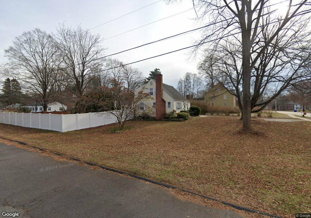
1706 Main St Glastonbury, CT 06033
Estimated Value: $486,000 - $544,000
4
Beds
2
Baths
1,544
Sq Ft
$334/Sq Ft
Est. Value
About This Home
This home is located at 1706 Main St, Glastonbury, CT 06033 and is currently estimated at $515,671, approximately $333 per square foot. 1706 Main St is a home located in Hartford County with nearby schools including Gideon Welles School, Nayaug Elementary School, and Smith Middle School.
Ownership History
Date
Name
Owned For
Owner Type
Purchase Details
Closed on
Mar 5, 2018
Sold by
Fochi William
Bought by
Carlin Nancy
Current Estimated Value
Purchase Details
Closed on
Jul 20, 2015
Sold by
Hill Susan B
Bought by
Fochi William
Purchase Details
Closed on
Aug 15, 2011
Sold by
Davis Christopher Owe and Davis Sharon Arlene
Bought by
Hill Susan B
Home Financials for this Owner
Home Financials are based on the most recent Mortgage that was taken out on this home.
Original Mortgage
$240,000
Interest Rate
4.51%
Purchase Details
Closed on
Nov 3, 2008
Sold by
Mayre Lou Davis Ft and Davis Keith W
Bought by
Davis Christopher Owe and Davis Sharon Arlene
Purchase Details
Closed on
Aug 1, 1989
Sold by
Gariepy Thomas C
Bought by
Patria Kathlene S
Create a Home Valuation Report for This Property
The Home Valuation Report is an in-depth analysis detailing your home's value as well as a comparison with similar homes in the area
Home Values in the Area
Average Home Value in this Area
Purchase History
| Date | Buyer | Sale Price | Title Company |
|---|---|---|---|
| Carlin Nancy | $336,000 | -- | |
| Fochi William | $300,000 | -- | |
| Hill Susan B | $300,000 | -- | |
| Davis Christopher Owe | $316,000 | -- | |
| Patria Kathlene S | $178,000 | -- |
Source: Public Records
Mortgage History
| Date | Status | Borrower | Loan Amount |
|---|---|---|---|
| Previous Owner | Patria Kathlene S | $240,000 | |
| Previous Owner | Patria Kathlene S | $92,500 | |
| Previous Owner | Patria Kathlene S | $127,000 |
Source: Public Records
Tax History Compared to Growth
Tax History
| Year | Tax Paid | Tax Assessment Tax Assessment Total Assessment is a certain percentage of the fair market value that is determined by local assessors to be the total taxable value of land and additions on the property. | Land | Improvement |
|---|---|---|---|---|
| 2025 | $8,618 | $262,500 | $111,300 | $151,200 |
| 2024 | $8,382 | $262,500 | $111,300 | $151,200 |
| 2023 | $8,140 | $262,500 | $111,300 | $151,200 |
| 2022 | $7,497 | $201,000 | $88,100 | $112,900 |
| 2021 | $7,501 | $201,000 | $88,100 | $112,900 |
| 2020 | $7,417 | $201,000 | $88,100 | $112,900 |
| 2019 | $7,308 | $201,000 | $88,100 | $112,900 |
| 2018 | $7,236 | $201,000 | $88,100 | $112,900 |
| 2017 | $6,355 | $169,700 | $73,400 | $96,300 |
| 2016 | $6,177 | $169,700 | $73,400 | $96,300 |
| 2015 | $6,126 | $169,700 | $73,400 | $96,300 |
| 2014 | $6,050 | $169,700 | $73,400 | $96,300 |
Source: Public Records
Map
Nearby Homes
- 1696 Main St
- 41 Talcott Rd
- 92 Whapley Rd
- 93 Hollister Way N Unit 93G
- 39 Cart Rd
- 222 Williams St E Unit 229
- 222 Williams St E Unit 104
- 222 Williams St E Unit 114
- 130 Overlook Rd
- 23 Wagon Rd
- 154 Overlook Rd
- 10 Rockhaven Dr Unit 10
- 29 Northview Dr
- 46 Red Hill Dr
- 71 Palisade Terrace
- 85 Knob Hill Rd
- 120 Fallview Dr
- 182 Georgetown Dr
- 38 Conestoga Way
- 521 Overlook Rd