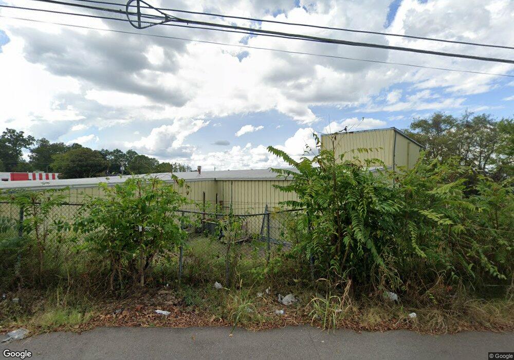
1706 Memorial Blvd Springfield, TN 37172
Estimated Value: $1,693,972
--
Bed
5
Baths
36,662
Sq Ft
$46/Sq Ft
Est. Value
About This Home
This home is located at 1706 Memorial Blvd, Springfield, TN 37172 and is currently estimated at $1,693,972, approximately $46 per square foot. 1706 Memorial Blvd is a home located in Robertson County with nearby schools including Crestview Elementary School, Innovation Academy, and Springfield High School.
Ownership History
Date
Name
Owned For
Owner Type
Purchase Details
Closed on
May 15, 2024
Sold by
Trimble Beasley Charles and Everett Beasley Jim
Bought by
Crain Royce and Crain Lynette
Current Estimated Value
Purchase Details
Closed on
Dec 30, 1992
Bought by
Beasley Charles Trimble and Beasley J
Purchase Details
Closed on
Jan 12, 1976
Purchase Details
Closed on
Oct 16, 1973
Purchase Details
Closed on
Aug 23, 1971
Bought by
Beasley Charles P
Create a Home Valuation Report for This Property
The Home Valuation Report is an in-depth analysis detailing your home's value as well as a comparison with similar homes in the area
Home Values in the Area
Average Home Value in this Area
Purchase History
| Date | Buyer | Sale Price | Title Company |
|---|---|---|---|
| Crain Royce | $6,000 | None Listed On Document | |
| Venture 24 Llc | $1,725,000 | None Listed On Document | |
| Venture 24 Llc | $1,725,000 | None Listed On Document | |
| Beasley Charles Trimble | -- | -- | |
| -- | -- | -- | |
| -- | -- | -- | |
| Beasley Charles P | -- | -- |
Source: Public Records
Tax History Compared to Growth
Tax History
| Year | Tax Paid | Tax Assessment Tax Assessment Total Assessment is a certain percentage of the fair market value that is determined by local assessors to be the total taxable value of land and additions on the property. | Land | Improvement |
|---|---|---|---|---|
| 2024 | -- | $701,880 | $309,520 | $392,360 |
| 2023 | $17,584 | $701,880 | $309,520 | $392,360 |
| 2022 | $17,326 | $474,960 | $284,720 | $190,240 |
| 2021 | $17,326 | $474,960 | $284,720 | $190,240 |
| 2020 | $17,326 | $474,960 | $284,720 | $190,240 |
| 2019 | $521,434 | $474,960 | $284,720 | $190,240 |
| 2018 | $17,326 | $474,960 | $284,720 | $190,240 |
| 2017 | $18,168 | $424,000 | $256,520 | $167,480 |
| 2016 | $18,168 | $424,000 | $256,520 | $167,480 |
| 2015 | $17,638 | $424,000 | $256,520 | $167,480 |
| 2014 | $17,638 | $424,000 | $256,520 | $167,480 |
Source: Public Records
Map
Nearby Homes
- 629 E 17th Ave
- 633 E 17th Ave
- 1603 Mantlo St
- 203 15th Ave E
- 1711 Woodside Dr
- 1505 Cheatham St
- 596 18th Ave W
- 205 18th Ave W
- 206 15th Ave W
- 208 15th Ave W
- 2222 Leota St
- 2067 Bessie St
- 0 Bessie St
- 115 23rd Ave E
- 120 23rd Ave E
- 211 Golf Club Ln Unit 4
- 1 W 20th Ave
- 342 Crescent Dr
- 3166 John L Patterson St
- 168 Dorris Ave