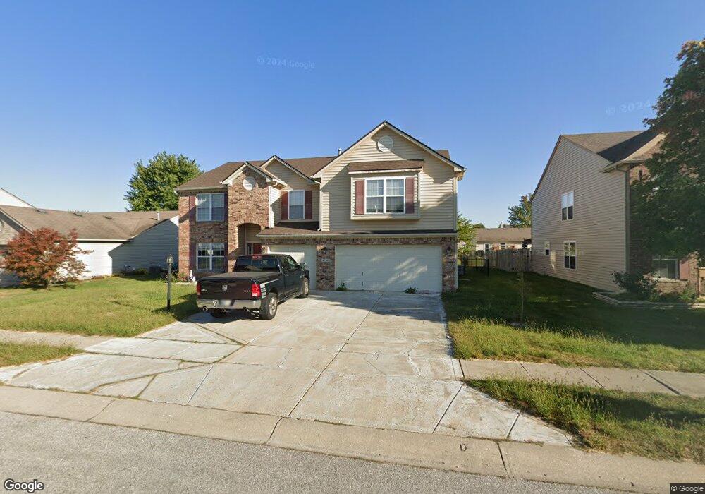
1706 Quinn Creek Dr Brownsburg, IN 46112
Estimated Value: $386,000 - $536,000
4
Beds
3
Baths
3,160
Sq Ft
$135/Sq Ft
Est. Value
About This Home
This home is located at 1706 Quinn Creek Dr, Brownsburg, IN 46112 and is currently estimated at $427,840, approximately $135 per square foot. 1706 Quinn Creek Dr is a home located in Hendricks County with nearby schools including Brownsburg East Middle School and Brownsburg High School.
Ownership History
Date
Name
Owned For
Owner Type
Purchase Details
Closed on
Jan 29, 2011
Sold by
Coy Phillip Y and Coy Hiroko
Bought by
Wiley Kevin L and Wiley Kelli N
Current Estimated Value
Home Financials for this Owner
Home Financials are based on the most recent Mortgage that was taken out on this home.
Original Mortgage
$146,197
Outstanding Balance
$99,897
Interest Rate
4.75%
Mortgage Type
FHA
Estimated Equity
$327,943
Purchase Details
Closed on
Dec 8, 2003
Sold by
Trinity Homes Llc
Bought by
Coy Phillip Y and Coy Hiroko
Home Financials for this Owner
Home Financials are based on the most recent Mortgage that was taken out on this home.
Original Mortgage
$167,552
Interest Rate
6.03%
Mortgage Type
FHA
Create a Home Valuation Report for This Property
The Home Valuation Report is an in-depth analysis detailing your home's value as well as a comparison with similar homes in the area
Home Values in the Area
Average Home Value in this Area
Purchase History
| Date | Buyer | Sale Price | Title Company |
|---|---|---|---|
| Wiley Kevin L | -- | None Available | |
| Coy Phillip Y | -- | Paragon Title Llc |
Source: Public Records
Mortgage History
| Date | Status | Borrower | Loan Amount |
|---|---|---|---|
| Open | Wiley Kevin L | $146,197 | |
| Previous Owner | Coy Phillip Y | $167,552 |
Source: Public Records
Tax History Compared to Growth
Tax History
| Year | Tax Paid | Tax Assessment Tax Assessment Total Assessment is a certain percentage of the fair market value that is determined by local assessors to be the total taxable value of land and additions on the property. | Land | Improvement |
|---|---|---|---|---|
| 2024 | $3,332 | $333,200 | $44,100 | $289,100 |
| 2023 | $2,911 | $288,800 | $37,400 | $251,400 |
| 2022 | $2,712 | $272,500 | $34,600 | $237,900 |
| 2021 | $2,365 | $237,700 | $31,500 | $206,200 |
| 2020 | $2,119 | $213,200 | $31,500 | $181,700 |
| 2019 | $2,048 | $206,100 | $31,500 | $174,600 |
| 2018 | $1,946 | $192,100 | $31,500 | $160,600 |
| 2017 | $1,875 | $185,000 | $31,500 | $153,500 |
| 2016 | $1,817 | $179,000 | $31,500 | $147,500 |
| 2014 | $1,727 | $169,800 | $30,600 | $139,200 |
Source: Public Records
Map
Nearby Homes
- 1844 Creekside Dr
- 1560 Cold Spring Dr
- 8915 E County Road 400 N
- 1686 Cape Hatteras Trail
- 3924 Castle Hill Dr
- 6527 Gulfwood Dr
- 8542 Goldfinch Rd
- 3947 Wren Dr
- 3747 Bellmore Dr
- 3883 Wren Dr
- T-1647 Wren Plan at Talon Woods - Townhomes
- T-1356 Piper Plan at Talon Woods - Townhomes
- T-1415 Adler Plan at Talon Woods - Townhomes
- Bria Plan at Talon Woods - Townhomes
- 3931 Wren Dr
- 8903 Motorsports Way
- 3717 Bellmore Dr
- 8524 Goldfinch Rd
- 8516 Goldfinch Rd
- 8520 Goldfinch Rd
- 1726 Quinn Creek Dr
- 1686 Quinn Creek Dr
- 1681 Creekside Dr
- 1746 Quinn Creek Dr
- 1666 Quinn Creek Dr
- 1721 Creekside Dr
- 1703 Quinn Creek Dr
- 1661 Creekside Dr
- 1723 Quinn Creek Dr
- 1741 Creekside Dr
- 1683 Quinn Creek Dr
- 1766 Quinn Creek Dr
- 1646 Quinn Creek Dr
- 1743 Quinn Creek Dr
- 1663 Quinn Creek Dr
- 1761 Creekside Dr
- 1641 Creekside Dr
- 1763 Quinn Creek Dr
- 1643 Quinn Creek Dr
- 1786 Quinn Creek Dr