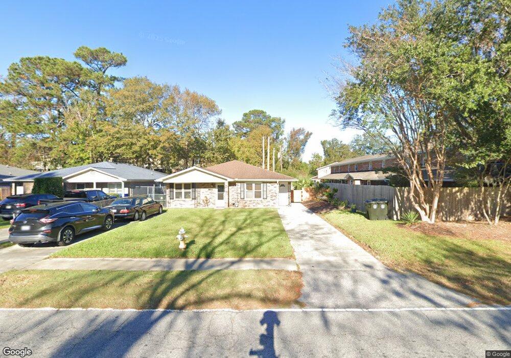
1706 Raoul Wallenberg Blvd Charleston, SC 29407
West Ashley NeighborhoodEstimated Value: $175,858 - $237,000
2
Beds
1
Bath
964
Sq Ft
$220/Sq Ft
Est. Value
About This Home
This home is located at 1706 Raoul Wallenberg Blvd, Charleston, SC 29407 and is currently estimated at $211,715, approximately $219 per square foot. 1706 Raoul Wallenberg Blvd is a home located in Charleston County with nearby schools including Springfield Elementary School, West Ashley High School, and Orange Grove Elementary Charter School.
Ownership History
Date
Name
Owned For
Owner Type
Purchase Details
Closed on
Oct 24, 2007
Sold by
Griffin Meredith
Bought by
Griffin Keith Milnor
Current Estimated Value
Purchase Details
Closed on
Nov 19, 2004
Sold by
Walters Christopher R and Walters Jessica L
Bought by
Griffin Meredith
Purchase Details
Closed on
Apr 30, 2002
Sold by
Thompson Estacia R
Bought by
Walters Christopher R and Walters Jessica L
Purchase Details
Closed on
Jun 14, 2001
Sold by
Estacia Thompson
Bought by
Thompson Estacia R
Create a Home Valuation Report for This Property
The Home Valuation Report is an in-depth analysis detailing your home's value as well as a comparison with similar homes in the area
Home Values in the Area
Average Home Value in this Area
Purchase History
| Date | Buyer | Sale Price | Title Company |
|---|---|---|---|
| Griffin Keith Milnor | -- | None Available | |
| Griffin Meredith | $84,500 | -- | |
| Walters Christopher R | $76,900 | -- | |
| Thompson Estacia R | -- | -- |
Source: Public Records
Tax History Compared to Growth
Tax History
| Year | Tax Paid | Tax Assessment Tax Assessment Total Assessment is a certain percentage of the fair market value that is determined by local assessors to be the total taxable value of land and additions on the property. | Land | Improvement |
|---|---|---|---|---|
| 2024 | $1,542 | $4,910 | $0 | $0 |
| 2023 | $1,542 | $4,910 | $0 | $0 |
| 2022 | $1,395 | $4,910 | $0 | $0 |
| 2021 | $1,379 | $4,910 | $0 | $0 |
| 2020 | $1,370 | $4,910 | $0 | $0 |
| 2019 | $1,259 | $4,270 | $0 | $0 |
| 2017 | $1,206 | $4,270 | $0 | $0 |
| 2016 | $1,169 | $4,270 | $0 | $0 |
| 2015 | $1,120 | $4,270 | $0 | $0 |
| 2014 | $1,370 | $0 | $0 | $0 |
| 2011 | -- | $0 | $0 | $0 |
Source: Public Records
Map
Nearby Homes
- 1810 Mepkin Rd Unit A7
- 1816 Mepkin Rd Unit B1
- 1820 Mepkin Rd Unit 1019
- 1812 Manigault Place
- 1836 Mepkin Rd Unit D7
- 1836 Mepkin Rd Unit 1033
- 1847 Mepkin Rd
- 1852 Mepkin Rd Unit F4
- 1839 Manigault Place
- 1851 Mepkin Rd
- 1807 Debbenshire Dr
- 1713 Boone Hall Dr Unit 1082
- 1778 Brockington Ave
- 1833 Saint Julian Dr
- 1865 Cattail Row
- 1861 Cattail Row
- 1908 Savage Rd
- 1866 Ashley Hall Rd
- 1860 Taberwood Cir
- 1884 Taberwood Cir
- 1708 Raoul Wallenberg Blvd
- 1710 Raoul Wallenberg Blvd
- 1806 Mepkin Rd Unit A5
- 1806 Mepkin Rd Unit A4
- 1806 Mepkin Rd Unit A3
- 1806 Mepkin Rd Unit A2
- 1806 Mepkin Rd Unit A1
- 1806 Mepkin Rd Unit 1005/A5
- 1806 Mepkin Rd Unit A1
- 1806 Mepkin Rd Unit 1001
- 1806 Mepkin Rd Unit 1005
- 1806 Mepkin Rd Unit A1
- 1712 Raoul Wallenberg Blvd
- 1810 Mepkin Rd Unit A10
- 1810 Mepkin Rd Unit A9
- 1810 Mepkin Rd Unit A8
- 1810 Mepkin Rd Unit A6
- 1810 Mepkin Rd Unit A10
- 1810 Mepkin Rd Unit 1008
- 1810 Mepkin Rd Unit 1009