1706 Ridge Rd Polson, MT 59860
Estimated Value: $746,904 - $1,268,000
4
Beds
2
Baths
2,778
Sq Ft
$341/Sq Ft
Est. Value
About This Home
This home is located at 1706 Ridge Rd, Polson, MT 59860 and is currently estimated at $946,301, approximately $340 per square foot. 1706 Ridge Rd is a home located in Lake County with nearby schools including Cherry Valley School, Linderman Elementary School, and Polson Middle School (7-8).
Ownership History
Date
Name
Owned For
Owner Type
Purchase Details
Closed on
May 3, 2006
Sold by
Marshall Richard David and Marshall Carol Sue
Bought by
Larosa Victor Nicholas
Current Estimated Value
Home Financials for this Owner
Home Financials are based on the most recent Mortgage that was taken out on this home.
Original Mortgage
$245,300
Outstanding Balance
$141,172
Interest Rate
6.29%
Mortgage Type
New Conventional
Estimated Equity
$805,129
Create a Home Valuation Report for This Property
The Home Valuation Report is an in-depth analysis detailing your home's value as well as a comparison with similar homes in the area
Home Values in the Area
Average Home Value in this Area
Purchase History
| Date | Buyer | Sale Price | Title Company |
|---|---|---|---|
| Larosa Victor Nicholas | -- | None Available |
Source: Public Records
Mortgage History
| Date | Status | Borrower | Loan Amount |
|---|---|---|---|
| Open | Larosa Victor Nicholas | $245,300 |
Source: Public Records
Tax History
| Year | Tax Paid | Tax Assessment Tax Assessment Total Assessment is a certain percentage of the fair market value that is determined by local assessors to be the total taxable value of land and additions on the property. | Land | Improvement |
|---|---|---|---|---|
| 2025 | $2,993 | $679,200 | $0 | $0 |
| 2024 | $3,847 | $570,900 | $0 | $0 |
| 2023 | $3,742 | $570,900 | $0 | $0 |
| 2022 | $2,948 | $400,600 | $0 | $0 |
| 2021 | $3,094 | $400,600 | $0 | $0 |
| 2020 | $3,119 | $379,300 | $0 | $0 |
| 2019 | $3,209 | $379,300 | $0 | $0 |
| 2018 | $2,968 | $353,900 | $0 | $0 |
| 2017 | $2,788 | $353,900 | $0 | $0 |
| 2016 | $2,938 | $352,400 | $0 | $0 |
| 2015 | $2,809 | $352,400 | $0 | $0 |
| 2014 | $2,286 | $197,796 | $0 | $0 |
Source: Public Records
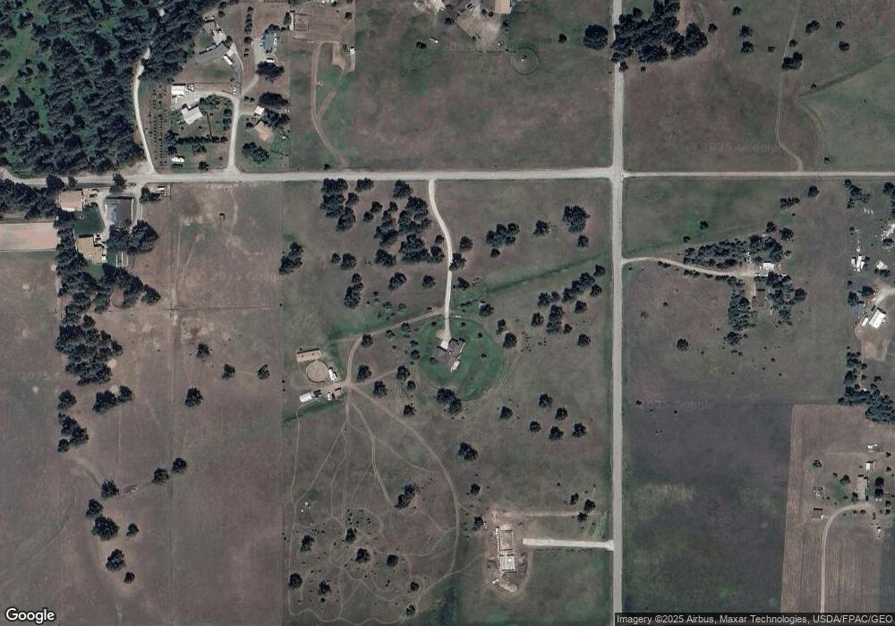
Map
Nearby Homes
- 34426 Ridge Rd
- 35208 Anna Lee Ln
- 35716 S Hills Dr
- 32415 Alpine Place
- Nhn US Highway 93
- 36171 Acre View Dr
- 37015 View Point Dr
- 40150 Enterprise Dr Unit Lot 32
- 40150 Enterprise Dr Unit Lot 31
- 40150 Enterprise Dr Unit Lot 73
- 40150 Enterprise Dr Unit Lot 60
- 40150 Enterprise Dr Unit Lot 37
- 227 Pheasant Ridge
- Lot 36 Southlake Crest
- TBD Southlake Crest
- 120 Heritage Ln
- 213 Pheasant Ridge
- 19 Long Lake Dr
- 116 Red Tail Rd
- 114 Red Tail Rd
- 34216 Ridge Rd
- 34330 Ridge Rd
- 38221 Pearsall Ln
- 38239 Pearsall Ln
- 34120 Moraine Ln
- NHN Ridge Rd
- 1508 Ridge Rd
- 38211 Pearsall Ln
- 38234 Pearsall Ln
- 34219 Ridge Rd
- 38246 Pearsall Ln
- NKN Ridge Rd
- 34119 Moraine Ln
- 38115 Mountain Home Ln
- 34052 Moraine Ln
- 34427 Ridge Rd
- 34219 Moraine Ln
- 353 Turtle Lake Loop
- NKN Turtle Lake Rd
Your Personal Tour Guide
Ask me questions while you tour the home.