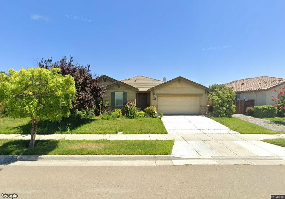
17066 Rail Way Lathrop, CA 95330
Estimated Value: $629,000 - $770,000
3
Beds
2
Baths
2,372
Sq Ft
$281/Sq Ft
Est. Value
About This Home
This home is located at 17066 Rail Way, Lathrop, CA 95330 and is currently estimated at $665,572, approximately $280 per square foot. 17066 Rail Way is a home located in San Joaquin County with nearby schools including Mossdale Elementary School, Lathrop High School, and River Island School of Technology.
Ownership History
Date
Name
Owned For
Owner Type
Purchase Details
Closed on
Feb 12, 2015
Sold by
Woodside 05N Lp
Bought by
Nguyen Loc and Pham Thuy Quyen
Current Estimated Value
Home Financials for this Owner
Home Financials are based on the most recent Mortgage that was taken out on this home.
Original Mortgage
$375,138
Outstanding Balance
$285,299
Interest Rate
3.57%
Mortgage Type
VA
Estimated Equity
$380,273
Purchase Details
Closed on
Mar 20, 2013
Sold by
Lathrop 113 Lp
Bought by
Woodside O5n Lp
Purchase Details
Closed on
Oct 1, 2008
Sold by
Lafferty Gdci Lathrop Lp
Bought by
Fb Holdings Llc
Create a Home Valuation Report for This Property
The Home Valuation Report is an in-depth analysis detailing your home's value as well as a comparison with similar homes in the area
Purchase History
| Date | Buyer | Sale Price | Title Company |
|---|---|---|---|
| Nguyen Loc | $367,500 | Placer Title | |
| Woodside O5n Lp | -- | First American Title Company | |
| Fb Holdings Llc | $3,755,300 | None Available |
Source: Public Records
Mortgage History
| Date | Status | Borrower | Loan Amount |
|---|---|---|---|
| Open | Nguyen Loc | $375,138 |
Source: Public Records
Tax History
| Year | Tax Paid | Tax Assessment Tax Assessment Total Assessment is a certain percentage of the fair market value that is determined by local assessors to be the total taxable value of land and additions on the property. | Land | Improvement |
|---|---|---|---|---|
| 2025 | $8,151 | $441,359 | $154,475 | $286,884 |
| 2024 | $7,969 | $432,706 | $151,447 | $281,259 |
| 2023 | $7,771 | $424,223 | $148,478 | $275,745 |
| 2022 | $7,624 | $415,906 | $145,567 | $270,339 |
| 2021 | $7,488 | $407,752 | $142,713 | $265,039 |
| 2020 | $7,264 | $403,572 | $141,250 | $262,322 |
| 2019 | $7,173 | $395,660 | $138,481 | $257,179 |
| 2018 | $7,075 | $387,903 | $135,766 | $252,137 |
| 2017 | $6,977 | $380,298 | $133,104 | $247,194 |
| 2016 | $6,846 | $372,843 | $130,495 | $242,348 |
| 2014 | $3,781 | $77,852 | $77,852 | $0 |
Source: Public Records
Map
Nearby Homes
- 523 Danbury Place
- 17125 Laurel Oak Ln
- 16766 Gold Nugget Trail
- 323 Autumn Rain Dr
- 277 Danbury Place
- 660 Bramblewood Ave
- 17359 Stone Celler Way
- 17385 Stone Celler Way
- 16501 Upper Pasture
- 274 Crescent Moon Dr
- 17753 Wheat Field St
- 17791 Farm House Rd
- 302 Johnson Ferry Rd
- 15492 Warbler Place
- 395 Sunol St
- 469 Central Pacific St
- 865 Tern Dr
- 958 Shearwater Rd
- 15272 Flycatcher Dr
- 17837 Moonstone Way
- 17082 Rail Way
- 17073 Golden Spike Trail
- 17034 Rail Way
- 17059 Golden Spike Trail
- 17095 Golden Spike Trail
- 17094 Rail Way
- 17069 Rail Way
- 17109 Golden Spike Trail
- 17031 Rail Way
- 17020 Rail Way
- 16997 Golden Spike Trail
- 17102 Rail Way
- 17091 Rail Way
- 17121 Golden Spike Trail
- 17019 Rail Way
- 16985 Golden Spike Trail
- 17105 Rail Way
- 17006 Rail Way
- 17056 Golden Spike Trail
- 17130 Rail Way
Your Personal Tour Guide
Ask me questions while you tour the home.