17068 County Road 7 South Haven, MN 55382
Estimated Value: $373,000 - $458,374
3
Beds
2
Baths
1,387
Sq Ft
$295/Sq Ft
Est. Value
About This Home
This home is located at 17068 County Road 7, South Haven, MN 55382 and is currently estimated at $409,844, approximately $295 per square foot. 17068 County Road 7 is a home located in Stearns County with nearby schools including Kimball Elementary School and Kimball High School.
Ownership History
Date
Name
Owned For
Owner Type
Purchase Details
Closed on
Aug 15, 2011
Sold by
Hinz Bernard G and Hinz Roberta E
Bought by
Pramann Wade W
Current Estimated Value
Home Financials for this Owner
Home Financials are based on the most recent Mortgage that was taken out on this home.
Original Mortgage
$176,000
Interest Rate
4%
Mortgage Type
Land Contract Argmt. Of Sale
Create a Home Valuation Report for This Property
The Home Valuation Report is an in-depth analysis detailing your home's value as well as a comparison with similar homes in the area
Home Values in the Area
Average Home Value in this Area
Purchase History
| Date | Buyer | Sale Price | Title Company |
|---|---|---|---|
| Pramann Wade W | $185,000 | -- |
Source: Public Records
Mortgage History
| Date | Status | Borrower | Loan Amount |
|---|---|---|---|
| Closed | Pramann Wade W | $176,000 |
Source: Public Records
Tax History Compared to Growth
Tax History
| Year | Tax Paid | Tax Assessment Tax Assessment Total Assessment is a certain percentage of the fair market value that is determined by local assessors to be the total taxable value of land and additions on the property. | Land | Improvement |
|---|---|---|---|---|
| 2025 | $1,674 | $397,700 | $220,500 | $177,200 |
| 2024 | $1,782 | $372,000 | $213,600 | $158,400 |
| 2023 | $1,724 | $366,300 | $205,800 | $160,500 |
| 2022 | $1,522 | $272,900 | $147,600 | $125,300 |
| 2021 | $1,560 | $272,900 | $147,600 | $125,300 |
| 2020 | $1,520 | $277,400 | $158,000 | $119,400 |
| 2019 | $1,542 | $267,800 | $148,700 | $119,100 |
| 2018 | $1,568 | $246,200 | $132,900 | $113,300 |
| 2017 | $1,594 | $258,400 | $144,900 | $113,500 |
| 2016 | $1,554 | $0 | $0 | $0 |
| 2015 | $1,458 | $0 | $0 | $0 |
| 2014 | -- | $0 | $0 | $0 |
Source: Public Records
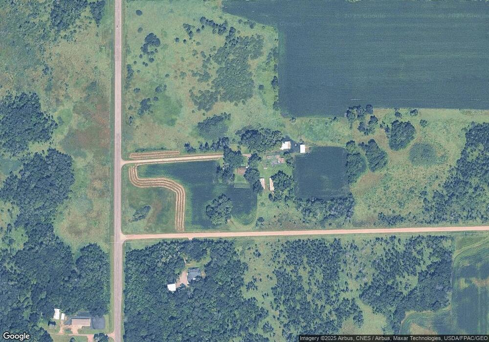
Map
Nearby Homes
- 3021 181st St
- 17910 27th Ave
- 17963 27th Ave
- XXXXXXX (Parcel C) 170th St
- XXXXX (Parcel B) 170th St
- XXXX (Parcel A) 170th St
- South Tract A TBD County Road 45
- North Tract B TBD County Road 45
- 2184 170th St
- XXX Deerwood Rd
- 14XXX County Road 44
- 16307 78th Ave
- 20658 State Highway 15
- 13496 Campfire Cir
- 2060 Clearwater Forest Dr
- 10848 Porter Ave NW
- 16XXX 4th Ave E
- 18493 Eaglewood Rd
- 312 Alder Rd
- 20801 13th Ave
- 4223 170th St
- 16900 County 7 Rd
- 4362 169th St
- 4325 169th St
- 3865 170th St
- 16795 County Road 7
- 17472 County Road 7
- 16661 County Road 7
- 4597 Dellwood Rd
- 16554 County Road 7
- 16527 County Road 7
- 4646 Dellwood Rd
- 17673 County Road 7
- 4811 Dellwood Rd
- 4811 Dellwood Rd
- xxx County Road 7
- 17865 County Road 7
- 4931 Dellwood Rd
- 13XXX County Road 7
- 17062 33rd Ave