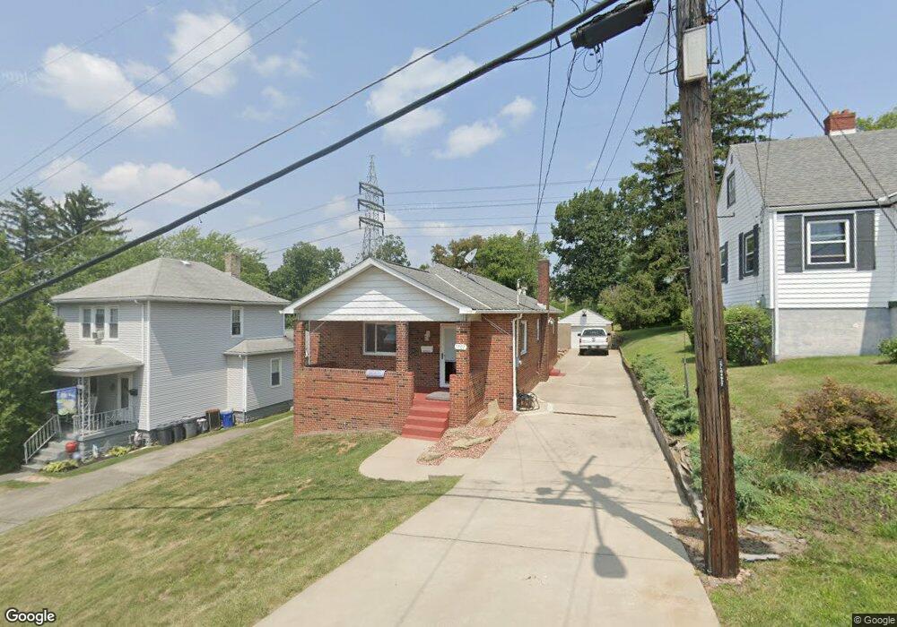
1707 Mcbride St Pittsburgh, PA 15207
Lincoln Place NeighborhoodEstimated Value: $153,000 - $176,000
3
Beds
2
Baths
1,200
Sq Ft
$137/Sq Ft
Est. Value
About This Home
This home is located at 1707 Mcbride St, Pittsburgh, PA 15207 and is currently estimated at $164,748, approximately $137 per square foot. 1707 Mcbride St is a home located in Allegheny County with nearby schools including Pittsburgh Mifflin K-8, Pittsburgh Allderdice High School, and Walnut Grove Christian School.
Ownership History
Date
Name
Owned For
Owner Type
Purchase Details
Closed on
Aug 21, 2017
Sold by
Redpath Matthew D and Redpath Sharon E
Bought by
Cunningham Thomas P
Current Estimated Value
Home Financials for this Owner
Home Financials are based on the most recent Mortgage that was taken out on this home.
Original Mortgage
$77,077
Outstanding Balance
$64,158
Interest Rate
3.87%
Mortgage Type
FHA
Estimated Equity
$100,590
Purchase Details
Closed on
Sep 7, 2007
Sold by
Corigliano Keith A
Bought by
Redpath Matthew D
Home Financials for this Owner
Home Financials are based on the most recent Mortgage that was taken out on this home.
Original Mortgage
$79,200
Interest Rate
6.65%
Mortgage Type
New Conventional
Purchase Details
Closed on
May 30, 1997
Sold by
Corigliano Keith A and Corigliano Mary Jeanne
Bought by
Corigliano Keith A
Create a Home Valuation Report for This Property
The Home Valuation Report is an in-depth analysis detailing your home's value as well as a comparison with similar homes in the area
Home Values in the Area
Average Home Value in this Area
Purchase History
| Date | Buyer | Sale Price | Title Company |
|---|---|---|---|
| Cunningham Thomas P | $78,500 | None Available | |
| Redpath Matthew D | $99,000 | -- | |
| Corigliano Keith A | -- | -- |
Source: Public Records
Mortgage History
| Date | Status | Borrower | Loan Amount |
|---|---|---|---|
| Open | Cunningham Thomas P | $77,077 | |
| Previous Owner | Redpath Matthew D | $79,200 |
Source: Public Records
Tax History Compared to Growth
Tax History
| Year | Tax Paid | Tax Assessment Tax Assessment Total Assessment is a certain percentage of the fair market value that is determined by local assessors to be the total taxable value of land and additions on the property. | Land | Improvement |
|---|---|---|---|---|
| 2025 | $1,493 | $64,800 | $12,200 | $52,600 |
| 2024 | $1,493 | $64,800 | $12,200 | $52,600 |
| 2023 | $1,493 | $64,800 | $12,200 | $52,600 |
| 2022 | $1,474 | $64,800 | $12,200 | $52,600 |
| 2021 | $1,474 | $64,800 | $12,200 | $52,600 |
| 2020 | $1,466 | $64,800 | $12,200 | $52,600 |
| 2019 | $1,466 | $64,800 | $12,200 | $52,600 |
| 2018 | $1,176 | $64,800 | $12,200 | $52,600 |
| 2017 | $1,466 | $64,800 | $12,200 | $52,600 |
| 2016 | $307 | $64,800 | $12,200 | $52,600 |
| 2015 | $307 | $64,800 | $12,200 | $52,600 |
| 2014 | $1,434 | $64,800 | $12,200 | $52,600 |
Source: Public Records
Map
Nearby Homes
- 1323 Leaside Dr
- 5606 Century Ave
- 5719 Keefe St
- 4803 Aspen St
- 1222 Rodgers St
- 1161 Cox Place
- 1204 Mifflin Rd
- 5838 Rodgers St
- 4829 Lougean Ave
- 1835 Orchid Place
- 1141 Stock St
- 4800 Brierly Dr W
- 5920 Rodgers St
- 5937 Apdale St
- 1105 Stock St
- 5354 Cox Ave
- 4647 W Run Rd
- LOT 2 Muldowney Ave
- LOT 1 Muldowney Ave
- 437 Green St
- 1713 Mcbride St
- 1703 Mcbride St
- 1703 Mcbride St
- 1701 Mcbride St
- 1717 Mcbride St
- 1647 Mcbride St
- 1702 Mcbride St
- 1708 Mcbride St
- 1643 Mcbride St
- 1636 Mcbride St
- 176 Parkside Dr
- 1637 Mcbride St
- 1630 Mcbride St
- 5311 Fredanna St
- 1633 Mcbride St
- 179 Parkside Dr
- 1393 Leaside Dr
- 5312 Fredanna St
- 1627 Mcbride St
- 1622 Mcbride St