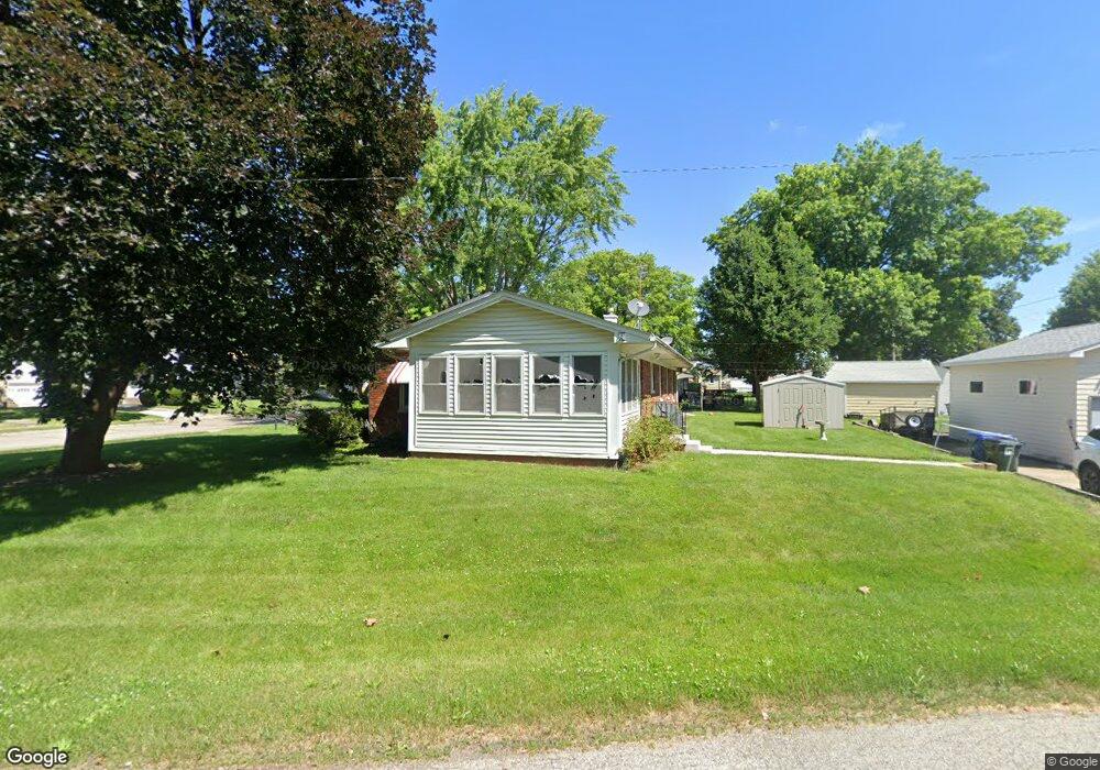
1707 N Pine St Davenport, IA 52804
Northwest Davenport NeighborhoodEstimated Value: $169,000 - $234,000
3
Beds
2
Baths
1,307
Sq Ft
$156/Sq Ft
Est. Value
About This Home
This home is located at 1707 N Pine St, Davenport, IA 52804 and is currently estimated at $204,064, approximately $156 per square foot. 1707 N Pine St is a home located in Scott County with nearby schools including Wilson Elementary School, Williams Intermediate School, and West High School.
Ownership History
Date
Name
Owned For
Owner Type
Purchase Details
Closed on
Sep 4, 2025
Sold by
Thobe Vernon F and Thobe Sharon L
Bought by
Kye A Dexter Revocable Trust and Dexter
Current Estimated Value
Purchase Details
Closed on
Jul 26, 2006
Sold by
Thobe Mildred M
Bought by
Thobe Vernon F and Thobe Sharon L
Home Financials for this Owner
Home Financials are based on the most recent Mortgage that was taken out on this home.
Original Mortgage
$47,500
Interest Rate
6.85%
Mortgage Type
Credit Line Revolving
Create a Home Valuation Report for This Property
The Home Valuation Report is an in-depth analysis detailing your home's value as well as a comparison with similar homes in the area
Home Values in the Area
Average Home Value in this Area
Purchase History
| Date | Buyer | Sale Price | Title Company |
|---|---|---|---|
| Kye A Dexter Revocable Trust | $141,000 | None Listed On Document | |
| Thobe Vernon F | $87,000 | None Available |
Source: Public Records
Mortgage History
| Date | Status | Borrower | Loan Amount |
|---|---|---|---|
| Previous Owner | Thobe Vernon F | $47,500 | |
| Previous Owner | Thobe Vernon F | $64,500 |
Source: Public Records
Tax History Compared to Growth
Tax History
| Year | Tax Paid | Tax Assessment Tax Assessment Total Assessment is a certain percentage of the fair market value that is determined by local assessors to be the total taxable value of land and additions on the property. | Land | Improvement |
|---|---|---|---|---|
| 2025 | $3,170 | $201,830 | $24,770 | $177,060 |
| 2024 | $3,354 | $187,580 | $24,770 | $162,810 |
| 2023 | $3,380 | $187,580 | $24,770 | $162,810 |
| 2022 | $3,250 | $167,160 | $24,770 | $142,390 |
| 2021 | $3,250 | $160,380 | $24,770 | $135,610 |
| 2020 | $2,802 | $137,780 | $24,770 | $113,010 |
| 2019 | $2,774 | $132,130 | $24,770 | $107,360 |
| 2018 | $2,710 | $132,130 | $24,770 | $107,360 |
| 2017 | $735 | $132,130 | $24,770 | $107,360 |
| 2016 | $2,580 | $126,480 | $0 | $0 |
| 2015 | $2,580 | $134,900 | $0 | $0 |
| 2014 | $2,802 | $134,900 | $0 | $0 |
| 2013 | $2,750 | $0 | $0 | $0 |
| 2012 | -- | $137,960 | $27,670 | $110,290 |
Source: Public Records
Map
Nearby Homes
- 2312 W Locust St
- 1922 N Pine St
- 2417 W 18th St
- 2156 W Pleasant St
- 1742 N Howell St
- 1723 W Locust St
- 1203 N Thornwood Ave
- 1107 N Thornwood Ave
- 2302 N Howell St
- 1634 W 17th St
- 926 Cimarron Dr
- 1721 Madison St
- 2314 N Birchwood Ave
- 1719 N Sturdevant St
- 1658 W Lombard St
- 1919 N Sturdevant St
- 2110 N Sturdevant St
- 2424 Davie St
- 2221 Madison St
- 2614 N Howell St