1707 Northside Rd Maynard, AR 72444
Estimated Value: $245,000 - $332,000
Studio
2
Baths
2,880
Sq Ft
$97/Sq Ft
Est. Value
About This Home
This home is located at 1707 Northside Rd, Maynard, AR 72444 and is currently estimated at $278,668, approximately $96 per square foot. 1707 Northside Rd is a home located in Randolph County with nearby schools including Maynard Elementary School and Maynard High School.
Ownership History
Date
Name
Owned For
Owner Type
Purchase Details
Closed on
Jun 6, 2024
Sold by
Fair Matt G and Fair Margaret S
Bought by
Simonton Shawn Christopher and Simonton Donna Jean
Current Estimated Value
Purchase Details
Closed on
Jun 18, 2015
Sold by
Fair Matthias G
Bought by
Fair Maththis G and Fair Margret Sue
Purchase Details
Closed on
Jun 11, 2013
Sold by
Kaczmarski Steven
Bought by
Kaczmerski Jennifer
Purchase Details
Closed on
Aug 12, 2002
Bought by
Blakey To Kaczmarski
Purchase Details
Closed on
Jan 1, 1990
Bought by
Moore
Purchase Details
Closed on
Nov 1, 1989
Bought by
Moore
Purchase Details
Closed on
Jan 1, 1980
Bought by
Haynes To Gaines
Create a Home Valuation Report for This Property
The Home Valuation Report is an in-depth analysis detailing your home's value as well as a comparison with similar homes in the area
Purchase History
| Date | Buyer | Sale Price | Title Company |
|---|---|---|---|
| Simonton Shawn Christopher | -- | None Listed On Document | |
| Fair Maththis G | -- | Cumprey And Badger | |
| Kaczmerski Jennifer | -- | -- | |
| Blakey To Kaczmarski | $90,000 | -- | |
| Moore | -- | -- | |
| Moore | $73,000 | -- | |
| Haynes To Gaines | -- | -- |
Source: Public Records
Tax History
| Year | Tax Paid | Tax Assessment Tax Assessment Total Assessment is a certain percentage of the fair market value that is determined by local assessors to be the total taxable value of land and additions on the property. | Land | Improvement |
|---|---|---|---|---|
| 2025 | $401 | $25,090 | $1,405 | $23,685 |
| 2024 | $501 | $25,090 | $1,405 | $23,685 |
| 2023 | $580 | $25,175 | $1,490 | $23,685 |
| 2022 | $636 | $25,175 | $1,490 | $23,685 |
| 2021 | $636 | $25,175 | $1,490 | $23,685 |
| 2020 | $637 | $25,205 | $1,520 | $23,685 |
| 2019 | $289 | $25,205 | $1,520 | $23,685 |
| 2018 | $302 | $16,310 | $1,520 | $14,790 |
| 2017 | $301 | $16,000 | $1,465 | $14,535 |
| 2016 | $237 | $16,000 | $1,465 | $14,535 |
| 2015 | $237 | $16,000 | $1,465 | $14,535 |
| 2014 | $555 | $16,000 | $1,465 | $14,535 |
Source: Public Records
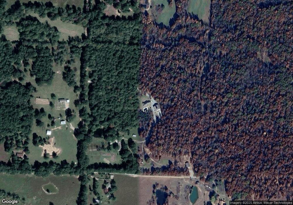
Map
Nearby Homes
- 13322 Arkansas 115
- 77 Mock St
- 37 Acres Acree Rd
- 152 Lentz St
- TBD Minorca Rd
- Tbd Minorca Rd Unit LotWP001
- 917 Hummingbird Trail
- 538 Fowler Rd
- 000 Carmickle Rd
- 449 Thompson Rd
- 8771 Arkansas 115
- 70 Kenzie Trail
- 172 Current River Tr
- 190 Current River Trail
- 2814 Ripley N-2
- 0 Spring Bay Rd
- 41 County Road 1851
- 8673 Highway 251
- Lot 17 County Road 198
- Lot 15 County Road 198
- 1728 Northside Rd
- 1542 Northside Rd
- 1665 Northside Rd
- 2041 Middlebrook Rd
- 1878 Middlebrook Rd
- 1043 Middlebrook Rd Unit M-L
- 2064 Middlebrook Rd
- 2120 Middlebrook Rd
- 1768 Rapert Rd
- 2251 Middlebrook Rd
- 1560 Middlebrook Rd
- 311 Siloam Rd
- 1008 Northside Rd
- 89 Mile Rd
- 959 Northside Rd
- 2435 Middlebrook Rd
- 865 Northside Rd
- 2486 Middlebrook Rd
- 1307 Middlebrook Rd
- 271 Mile Rd
Your Personal Tour Guide
Ask me questions while you tour the home.