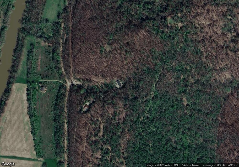
17074 Dodd Rd Brinkhaven, OH 43006
Estimated Value: $211,000 - $335,045
3
Beds
3
Baths
1,664
Sq Ft
$152/Sq Ft
Est. Value
About This Home
This home is located at 17074 Dodd Rd, Brinkhaven, OH 43006 and is currently estimated at $253,011, approximately $152 per square foot. 17074 Dodd Rd is a home located in Knox County with nearby schools including Danville Elementary School, Danville Middle School, and Danville High School.
Ownership History
Date
Name
Owned For
Owner Type
Purchase Details
Closed on
Jul 14, 2005
Sold by
Porter Norman C
Bought by
Porter Norman C and Porter Erron R
Current Estimated Value
Home Financials for this Owner
Home Financials are based on the most recent Mortgage that was taken out on this home.
Original Mortgage
$138,600
Outstanding Balance
$72,491
Interest Rate
5.69%
Mortgage Type
New Conventional
Estimated Equity
$180,520
Purchase Details
Closed on
Jun 2, 2004
Sold by
Oakes Calvin E and Oakes Jacqu
Bought by
Porter Norman C
Create a Home Valuation Report for This Property
The Home Valuation Report is an in-depth analysis detailing your home's value as well as a comparison with similar homes in the area
Purchase History
| Date | Buyer | Sale Price | Title Company |
|---|---|---|---|
| Porter Norman C | -- | None Available | |
| Porter Norman C | $125,000 | -- |
Source: Public Records
Mortgage History
| Date | Status | Borrower | Loan Amount |
|---|---|---|---|
| Open | Porter Norman C | $138,600 |
Source: Public Records
Tax History
| Year | Tax Paid | Tax Assessment Tax Assessment Total Assessment is a certain percentage of the fair market value that is determined by local assessors to be the total taxable value of land and additions on the property. | Land | Improvement |
|---|---|---|---|---|
| 2024 | $2,288 | $69,420 | $20,830 | $48,590 |
| 2023 | $2,291 | $69,420 | $20,830 | $48,590 |
| 2022 | $1,830 | $47,880 | $14,370 | $33,510 |
| 2021 | $1,830 | $47,880 | $14,370 | $33,510 |
| 2020 | $1,717 | $47,880 | $14,370 | $33,510 |
| 2019 | $1,695 | $44,530 | $12,230 | $32,300 |
| 2018 | $1,706 | $44,530 | $12,230 | $32,300 |
| 2017 | $1,664 | $44,530 | $12,230 | $32,300 |
| 2016 | $1,524 | $41,230 | $11,320 | $29,910 |
| 2015 | $1,524 | $41,230 | $11,320 | $29,910 |
| 2014 | $1,530 | $41,230 | $11,320 | $29,910 |
| 2013 | $1,483 | $38,000 | $10,170 | $27,830 |
Source: Public Records
Map
Nearby Homes
- 15193 U S 62
- 15193 US Highway 62
- 15977 Mohaven Rd
- 15757 Hunter Rd
- 29575 Hoover Rd
- 1917 Township Road 26
- 202 Plum St
- 228 E Walnut St
- 9 E South St
- 102 Cedar St
- 106 W Rambo St
- 14799 Millersburg Rd
- 13356 Mowery Rd
- 26367 Danville Amity Rd
- 34383 Township Road 351
- 13617 Millersburg Rd
- 2818 Township Road 29
- 0 State Route 520
- 21839 County Road 81
- 3317 Township Road 539
- 17070 Dodd Rd
- 17119 Dodd Rd
- 17079 Dodd Rd
- 0 Dodd Rd Unit 4012390
- 0 Dodd Rd Unit 223017753
- 0 Dodd Rd Unit 20230337
- 0 Dodd Rd Unit 20130964
- 0 Dodd Rd Unit 218025293
- 18081 Dodd Rd
- 324 High St
- 17046 Dodd Rd
- 17036 Dodd Rd
- 17035 Dodd Rd
- 17035 Dodd Rd
- 313 N Aly
- 17867 Dodd Rd
- 17006 Dodd Rd
- 17021 Dodd Rd
- 315 High St
- 313 High St
Your Personal Tour Guide
Ask me questions while you tour the home.
