1708 Cypress Dr West Point, MS 39773
Estimated Value: $309,196 - $416,000
2
Beds
--
Bath
2,979
Sq Ft
$123/Sq Ft
Est. Value
About This Home
This home is located at 1708 Cypress Dr, West Point, MS 39773 and is currently estimated at $366,799, approximately $123 per square foot. 1708 Cypress Dr is a home located in Clay County with nearby schools including East Side Elementary School, West Clay Elementary School, and Church Hill Elementary School.
Ownership History
Date
Name
Owned For
Owner Type
Purchase Details
Closed on
Mar 16, 2026
Sold by
Dustin Waldrop
Bought by
Waldrop Brenda
Current Estimated Value
Home Financials for this Owner
Home Financials are based on the most recent Mortgage that was taken out on this home.
Original Mortgage
$322,799
Outstanding Balance
$296,643
Interest Rate
6.1%
Mortgage Type
Construction
Estimated Equity
$70,156
Purchase Details
Closed on
Sep 29, 2022
Sold by
Waldrop Dustin
Bought by
Nays Elizabeth A
Purchase Details
Closed on
Nov 22, 2016
Sold by
Blake Windell
Bought by
Waldrop Dustin
Purchase Details
Closed on
Oct 20, 2016
Sold by
Coleman Vernida Jo and Coleman Belinda Joyce
Bought by
Waldrop Dustin
Purchase Details
Closed on
Oct 13, 2016
Sold by
House Jackie R and Robinson Richard Bob
Bought by
Waldrop Dustin
Purchase Details
Closed on
Oct 6, 2016
Sold by
Lane Georgia
Bought by
Waldrop Dustin
Purchase Details
Closed on
Jan 31, 2014
Sold by
Anne M Anne M and Hale William Kenneth
Bought by
Waldrop Dustin
Home Financials for this Owner
Home Financials are based on the most recent Mortgage that was taken out on this home.
Original Mortgage
$225,000
Interest Rate
4.56%
Mortgage Type
New Conventional
Create a Home Valuation Report for This Property
The Home Valuation Report is an in-depth analysis detailing your home's value as well as a comparison with similar homes in the area
Purchase History
We collect this data history from publicly available records. To have your information removed, we recommend requesting removal directly through your county’s website.
| Date | Buyer | Sale Price | Title Company |
|---|---|---|---|
| Waldrop Brenda | -- | None Listed On Document | |
| Nays Elizabeth A | -- | -- | |
| Waldrop Dustin | -- | -- | |
| Waldrop Dustin | -- | -- | |
| Waldrop Dustin | -- | -- | |
| Waldrop Dustin | -- | -- | |
| Waldrop Dustin | -- | -- |
Source: Public Records
Mortgage History
We collect this data history from publicly available records. To have your information removed, we recommend requesting removal directly through your county’s website.
| Date | Status | Borrower | Loan Amount |
|---|---|---|---|
| Open | Waldrop Brenda | $322,799 | |
| Previous Owner | Waldrop Dustin | $225,000 |
Source: Public Records
Tax History
| Year | Tax Paid | Tax Assessment Tax Assessment Total Assessment is a certain percentage of the fair market value that is determined by local assessors to be the total taxable value of land and additions on the property. | Land | Improvement |
|---|---|---|---|---|
| 2025 | $1,247 | $24,844 | $3,000 | $21,844 |
| 2024 | $1,247 | $24,844 | $3,000 | $21,844 |
| 2023 | $2,169 | $21,755 | $3,000 | $18,755 |
| 2022 | $1,053 | $21,755 | $3,000 | $18,755 |
| 2021 | $1,052 | $21,755 | $3,000 | $18,755 |
| 2020 | $1,052 | $21,755 | $3,000 | $18,755 |
| 2019 | $985 | $21,585 | $3,000 | $18,585 |
| 2018 | $938 | $21,585 | $3,000 | $18,585 |
| 2017 | $938 | $21,585 | $3,000 | $18,585 |
| 2016 | $901 | $21,585 | $3,000 | $18,585 |
| 2015 | $1,336 | $26,529 | $4,500 | $22,029 |
| 2014 | $194 | $26,529 | $4,500 | $22,029 |
| 2013 | $194 | $17,686 | $3,000 | $14,686 |
Source: Public Records
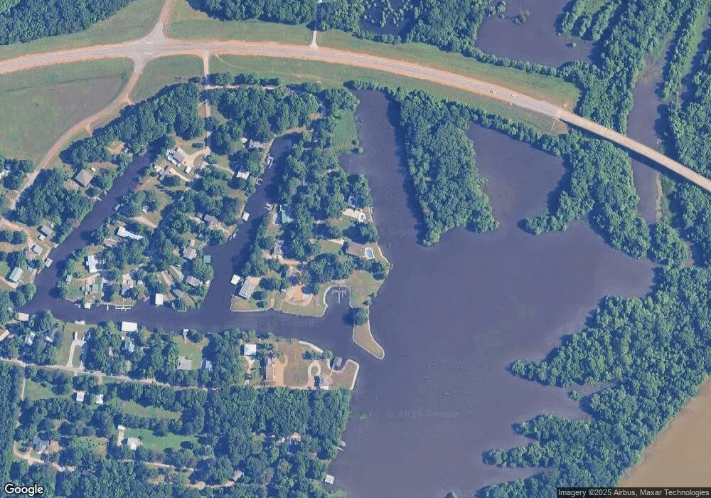
Map
Nearby Homes
- 714 Herman Shirley Rd
- 0 Shirley Subdivision
- 3986 E Church Hill Rd
- 329 Converse Dr
- 0 Dogwood Dr (Lot 21) Unit 26-332
- 0 Dogwood Dr (Lot 20) Unit 26-331
- 72 Park St
- 0 Dogwood Dr (Lot 14) Unit 26-329
- 0 Dogwood Dr (Lot 15)
- 0 Dogwood Dr
- 44 Torbert Dr
- 472 S Eshman Ave
- 405 S Eshman Ave
- 355 Mccord St
- 228 Mccord St
- 341 Mccord St
- 389 Mapleview Rd
- 27185 E Main St
- 264 Mapleview Rd
- 1414 E Brame Ave
- 11369 Cypress Dr
- 11454 Cypress Dr
- 11495 Cypress Dr
- 9236 Cuevas Rd
- 9309 Cuevas Rd
- 41 Oak Crest Cir
- 168 Oak Crest Cir
- 95 Oak Crest Cir
- 106 Oak Crest Cir
- 226 Oak Crest Cir
- 247 Oak Crest Cir
- 258 Oak Crest Cir
- 29365 Highway 50 E
- 159 Oak Crest Cir
- 387 Oak Crest Cir
- 372 Oak Crest Cir
- 407 Oak Crest Cir
- 29150 Highway 50 E
- 285 Oak Crest Cir
- 441 Oak Crest Cir
Your Personal Tour Guide
Ask me questions while you tour the home.