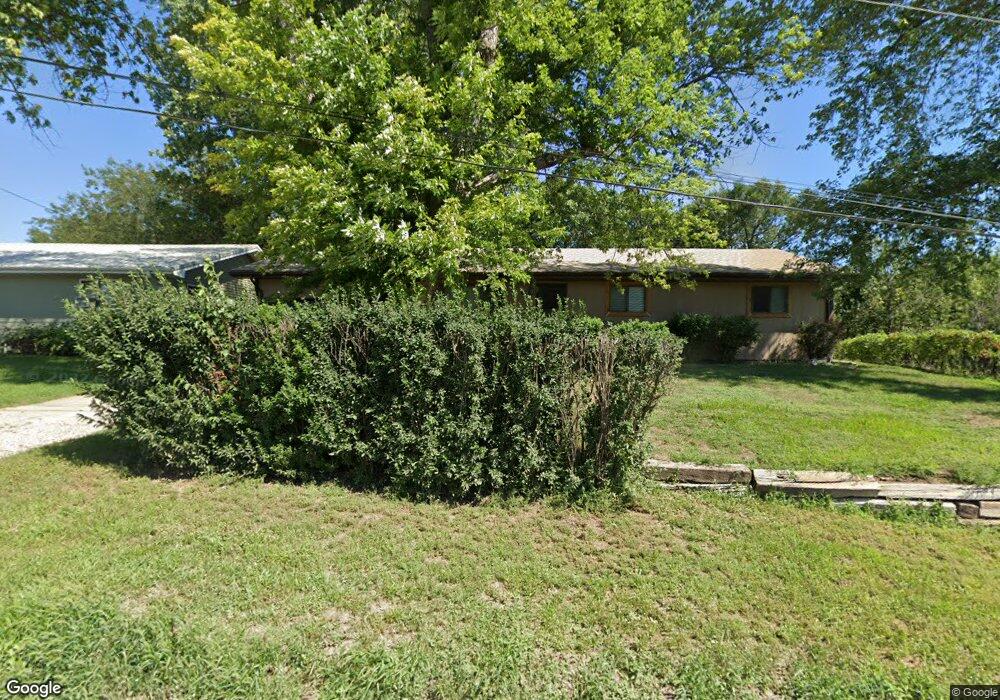
1708 Harris St Sioux City, IA 51103
West Side Sioux City NeighborhoodEstimated Value: $182,000 - $226,000
3
Beds
1
Bath
1,536
Sq Ft
$127/Sq Ft
Est. Value
About This Home
This home is located at 1708 Harris St, Sioux City, IA 51103 and is currently estimated at $194,655, approximately $126 per square foot. 1708 Harris St is a home with nearby schools including Loess Hills Elementary School, West Middle School, and West High School.
Ownership History
Date
Name
Owned For
Owner Type
Purchase Details
Closed on
Jul 21, 2021
Sold by
Pease Keith A and Pease Joelle R
Bought by
Wauhob Rhonda S and Baker David L
Current Estimated Value
Home Financials for this Owner
Home Financials are based on the most recent Mortgage that was taken out on this home.
Original Mortgage
$126,100
Outstanding Balance
$114,416
Interest Rate
2.9%
Mortgage Type
New Conventional
Estimated Equity
$80,239
Create a Home Valuation Report for This Property
The Home Valuation Report is an in-depth analysis detailing your home's value as well as a comparison with similar homes in the area
Home Values in the Area
Average Home Value in this Area
Purchase History
| Date | Buyer | Sale Price | Title Company |
|---|---|---|---|
| Wauhob Rhonda S | $130,000 | None Available |
Source: Public Records
Mortgage History
| Date | Status | Borrower | Loan Amount |
|---|---|---|---|
| Open | Wauhob Rhonda S | $126,100 |
Source: Public Records
Tax History Compared to Growth
Tax History
| Year | Tax Paid | Tax Assessment Tax Assessment Total Assessment is a certain percentage of the fair market value that is determined by local assessors to be the total taxable value of land and additions on the property. | Land | Improvement |
|---|---|---|---|---|
| 2025 | $2,202 | $177,400 | $24,400 | $153,000 |
| 2024 | $2,202 | $137,300 | $16,900 | $120,400 |
| 2023 | $2,726 | $137,300 | $16,900 | $120,400 |
| 2022 | $2,854 | $144,800 | $15,500 | $129,300 |
| 2021 | $2,854 | $144,800 | $15,500 | $129,300 |
| 2020 | $2,434 | $119,300 | $14,800 | $104,500 |
| 2019 | $2,498 | $110,600 | $0 | $0 |
| 2018 | $2,472 | $110,900 | $0 | $0 |
| 2017 | $2,472 | $100,400 | $0 | $0 |
| 2016 | $2,250 | $100,400 | $0 | $0 |
| 2015 | $2,048 | $100,400 | $12,700 | $87,700 |
| 2014 | $2,048 | $90,000 | $12,600 | $77,400 |
Source: Public Records
Map
Nearby Homes
- 2824 W 14th St
- 1440 Burton St
- 612 Colon St
- 2917 W 5th St
- 2543 W 20th St
- 2802 W 5th St
- 2411 Villa Ave
- 4266 Fieldcrest Dr
- 514 Ascot St
- 519 Ascot St
- 2120 S Jermyn St
- 2301 W 23rd St
- 612 Lancaster Cir
- 4210 Fieldcrest Dr
- 411 Judd St
- 1505 Ruby St
- 1901-1920-1930 Wood St
- 458 John St
- 3827 Forest View Ave
- 1408 Ruby St
- 1712 Harris St
- 1716 Harris St
- 3125 Edmunds Ave
- 1528 Harris St
- 1704 Wabash St
- 1719 Wabash St
- 3250 Edmunds Ave
- 1513 Harris St
- 1708 Wabash St
- 3000 W 19th St
- 1502 Harris St
- 2919 Edmunds Ave
- 3304 Edmunds Ave
- 3020 Edmunds Ave
- 3301 Edmunds Ave
- 2807 Cottage Ave
- 1500 Harris St
- 1501 Wabash St
- 1616 Berry St
- 3320 Edmunds Ave