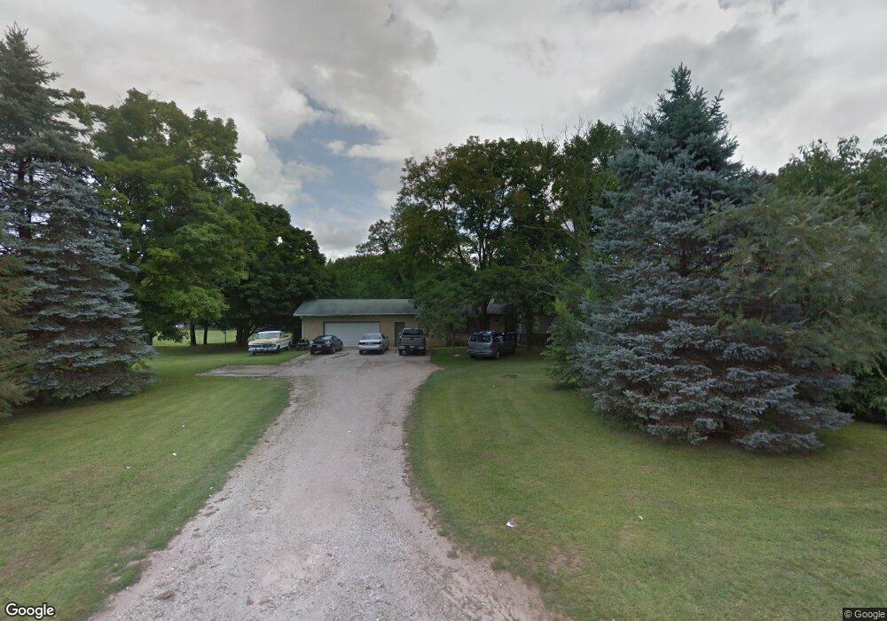
1708 Heath Rd Hastings, MI 49058
Estimated Value: $275,000 - $336,000
3
Beds
2
Baths
2,350
Sq Ft
$132/Sq Ft
Est. Value
About This Home
This home is located at 1708 Heath Rd, Hastings, MI 49058 and is currently estimated at $311,161, approximately $132 per square foot. 1708 Heath Rd is a home located in Barry County with nearby schools including Hastings High School and St. Rose of Lima School.
Ownership History
Date
Name
Owned For
Owner Type
Purchase Details
Closed on
Sep 14, 2011
Sold by
Richardson Bartolo R and Richardson Katharine R
Bought by
Garber Bruce
Current Estimated Value
Home Financials for this Owner
Home Financials are based on the most recent Mortgage that was taken out on this home.
Original Mortgage
$92,227
Outstanding Balance
$62,793
Interest Rate
4.14%
Estimated Equity
$248,368
Purchase Details
Closed on
Feb 13, 2006
Sold by
Richardson Bartolo R and Richardson Katharine R
Bought by
Richardson Bartolo R and Richardson Katharine R
Home Financials for this Owner
Home Financials are based on the most recent Mortgage that was taken out on this home.
Original Mortgage
$143,950
Interest Rate
6.3%
Create a Home Valuation Report for This Property
The Home Valuation Report is an in-depth analysis detailing your home's value as well as a comparison with similar homes in the area
Home Values in the Area
Average Home Value in this Area
Purchase History
| Date | Buyer | Sale Price | Title Company |
|---|---|---|---|
| Garber Bruce | $89,000 | Bell Title Company | |
| Richardson Bartolo R | -- | Title Source Inc | |
| Richardson Bartolo R | -- | Title Source Inc |
Source: Public Records
Mortgage History
| Date | Status | Borrower | Loan Amount |
|---|---|---|---|
| Open | Garber Bruce | $92,227 | |
| Previous Owner | Richardson Bartolo R | $143,950 |
Source: Public Records
Tax History Compared to Growth
Tax History
| Year | Tax Paid | Tax Assessment Tax Assessment Total Assessment is a certain percentage of the fair market value that is determined by local assessors to be the total taxable value of land and additions on the property. | Land | Improvement |
|---|---|---|---|---|
| 2025 | $1,161 | $131,000 | $0 | $0 |
| 2024 | $1,161 | $136,400 | $0 | $0 |
| 2023 | $3,737 | $104,000 | $0 | $0 |
| 2022 | $3,737 | $104,000 | $0 | $0 |
| 2021 | $3,737 | $95,400 | $0 | $0 |
| 2020 | $1,814 | $94,600 | $0 | $0 |
| 2019 | $1,814 | $93,000 | $0 | $0 |
| 2018 | $0 | $85,000 | $0 | $0 |
| 2017 | $0 | $97,100 | $0 | $0 |
| 2016 | -- | $88,900 | $0 | $0 |
| 2015 | -- | $81,700 | $0 | $0 |
| 2014 | -- | $81,700 | $0 | $0 |
Source: Public Records
Map
Nearby Homes
- Lot 21 Dakota Trail
- Lot 8 Dakota Trail
- Lot 3 Dakota Trail
- Lot 6 Dakota Trail
- Lot 18 Dakota Trail
- Lot 9 Dakota Trail
- Lot 19 Dakota Trail
- Lot 1 Dakota Trail
- Lot 20 Dakota Trail
- Lot 16 Dakota Trail
- Lot 2 Dakota Trail
- 2295 Kathryn Dr
- 5613 Michigan 179
- 720 W Bond St
- 618 Riverwalk St
- 615 W High St
- 2114 Par 1 Island Dr
- 502 W State St
- 321 N Taffee Dr
- 504 S Washington St