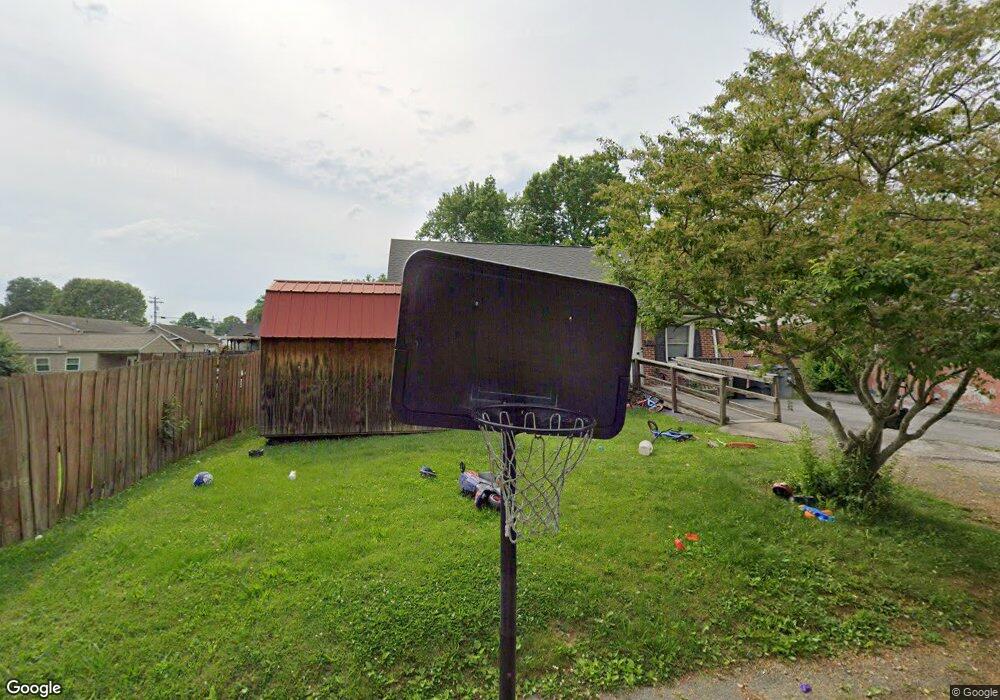
1708 Pershing Ave Bristol, TN 37620
Estimated Value: $160,000 - $223,000
3
Beds
1
Bath
1,282
Sq Ft
$151/Sq Ft
Est. Value
About This Home
This home is located at 1708 Pershing Ave, Bristol, TN 37620 and is currently estimated at $194,050, approximately $151 per square foot. 1708 Pershing Ave is a home located in Sullivan County with nearby schools including Haynesfield Elementary School, Vance Middle School, and Tennessee High School.
Ownership History
Date
Name
Owned For
Owner Type
Purchase Details
Closed on
Feb 10, 2009
Sold by
Branch Banking
Bought by
Fritts Charles Edward
Current Estimated Value
Purchase Details
Closed on
Jul 11, 2008
Create a Home Valuation Report for This Property
The Home Valuation Report is an in-depth analysis detailing your home's value as well as a comparison with similar homes in the area
Purchase History
| Date | Buyer | Sale Price | Title Company |
|---|---|---|---|
| Fritts Charles Edward | $37,250 | -- | |
| -- | $59,400 | -- |
Source: Public Records
Tax History
| Year | Tax Paid | Tax Assessment Tax Assessment Total Assessment is a certain percentage of the fair market value that is determined by local assessors to be the total taxable value of land and additions on the property. | Land | Improvement |
|---|---|---|---|---|
| 2025 | -- | $41,750 | $3,225 | $38,525 |
| 2024 | -- | $22,625 | $1,150 | $21,475 |
| 2023 | $993 | $22,625 | $1,150 | $21,475 |
| 2022 | $993 | $22,625 | $1,150 | $21,475 |
| 2021 | $994 | $22,625 | $1,150 | $21,475 |
| 2020 | $1,001 | $22,625 | $1,150 | $21,475 |
| 2019 | $1,001 | $21,150 | $1,150 | $20,000 |
| 2018 | $996 | $21,150 | $1,150 | $20,000 |
| 2017 | $996 | $21,150 | $1,150 | $20,000 |
| 2016 | $1,025 | $21,250 | $1,150 | $20,100 |
| 2014 | $968 | $21,248 | $0 | $0 |
Source: Public Records
Map
Nearby Homes
- 1713 Edgemont Ave
- 1601 Edgemont Ave
- 1527 Edgemont Ave
- 1520 Tremont Ave
- 101 Queen St
- 1012 College Ave
- 1224 7th Ave
- 1211 Weaver Pike
- 2041 Edgemont Ave
- 807 Weaver Pike
- 305 Belmont Dr
- 313 Belmont Dr
- 404 Merriwood Dr
- 105 Pemberton Ct
- 1107 Holston Ave
- 855 Marion Ave
- 109 Penrod Rd
- 341 Belmont Dr
- 1116 5th St
- 361 Belmont Dr Unit 14
- 1704 Pershing Ave
- 105 Duncan St
- 107 Duncan St
- 1700 Pershing Ave
- 1709 Tremont Ave
- 1713 Tremont Ave
- 117 Duncan St
- 1705 Pershing Ave
- 1717 Tremont Ave
- 1703 Pershing Ave
- 1701 Tremont Ave
- 204 Sunset St
- 1624 Pershing Ave
- 116 Duncan St
- 114 Duncan St
- 108 Duncan St
- 1801 Tremont Ave
- 125 Duncan St
- 1629 Tremont Ave
- 1620 Pershing Ave
Your Personal Tour Guide
Ask me questions while you tour the home.