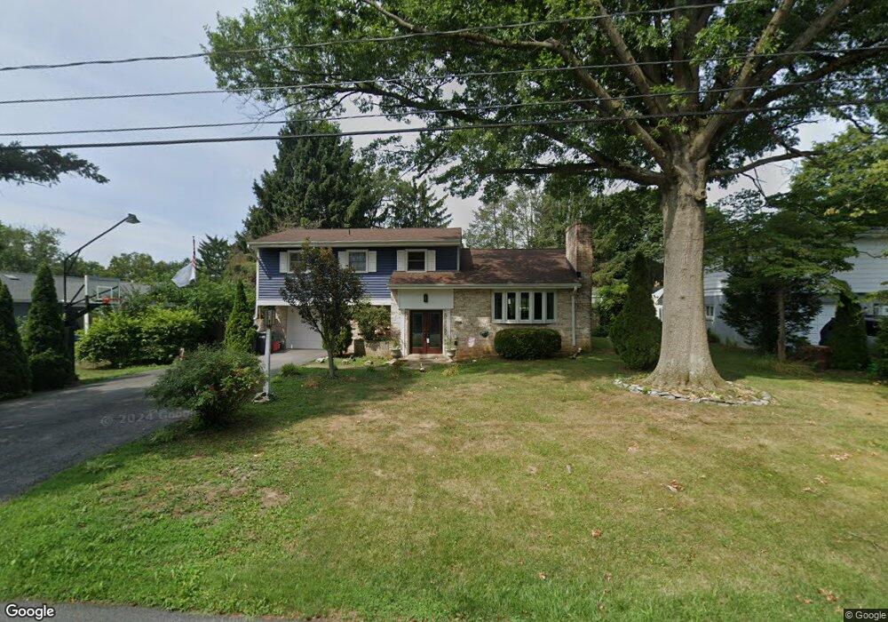
1708 Sammar Rd Lancaster, PA 17601
Eden NeighborhoodEstimated Value: $346,000 - $442,000
3
Beds
3
Baths
1,409
Sq Ft
$278/Sq Ft
Est. Value
About This Home
This home is located at 1708 Sammar Rd, Lancaster, PA 17601 and is currently estimated at $391,571, approximately $277 per square foot. 1708 Sammar Rd is a home located in Lancaster County with nearby schools including Nitrauer School, Landis Run Intermediate School, and Manheim Township Middle School.
Ownership History
Date
Name
Owned For
Owner Type
Purchase Details
Closed on
Oct 11, 2024
Sold by
Sevast Josh William
Bought by
Sevast Josh William
Current Estimated Value
Home Financials for this Owner
Home Financials are based on the most recent Mortgage that was taken out on this home.
Original Mortgage
$198,585
Outstanding Balance
$195,708
Interest Rate
6.35%
Mortgage Type
New Conventional
Estimated Equity
$195,863
Purchase Details
Closed on
Jun 20, 2014
Sold by
Trupe William K
Bought by
Sevast Josh and Sevast Jenna
Home Financials for this Owner
Home Financials are based on the most recent Mortgage that was taken out on this home.
Original Mortgage
$255,290
Interest Rate
3.87%
Mortgage Type
FHA
Purchase Details
Closed on
Nov 23, 2013
Sold by
Trupe William K and Trupe Katherine J
Bought by
Trupe William K
Create a Home Valuation Report for This Property
The Home Valuation Report is an in-depth analysis detailing your home's value as well as a comparison with similar homes in the area
Home Values in the Area
Average Home Value in this Area
Purchase History
| Date | Buyer | Sale Price | Title Company |
|---|---|---|---|
| Sevast Josh William | -- | None Listed On Document | |
| Sevast Josh | $260,000 | None Available | |
| Trupe William K | -- | None Available |
Source: Public Records
Mortgage History
| Date | Status | Borrower | Loan Amount |
|---|---|---|---|
| Open | Sevast Josh William | $198,585 | |
| Previous Owner | Sevast Josh | $255,290 |
Source: Public Records
Tax History
| Year | Tax Paid | Tax Assessment Tax Assessment Total Assessment is a certain percentage of the fair market value that is determined by local assessors to be the total taxable value of land and additions on the property. | Land | Improvement |
|---|---|---|---|---|
| 2025 | $3,953 | $182,700 | $55,800 | $126,900 |
| 2024 | $3,953 | $182,700 | $55,800 | $126,900 |
| 2023 | $3,850 | $182,700 | $55,800 | $126,900 |
| 2022 | $3,785 | $182,700 | $55,800 | $126,900 |
| 2021 | $3,701 | $182,700 | $55,800 | $126,900 |
| 2020 | $3,701 | $182,700 | $55,800 | $126,900 |
| 2019 | $3,665 | $182,700 | $55,800 | $126,900 |
| 2018 | $2,653 | $182,700 | $55,800 | $126,900 |
| 2017 | $3,942 | $154,900 | $43,400 | $111,500 |
| 2016 | $3,941 | $154,900 | $43,400 | $111,500 |
| 2015 | $991 | $154,900 | $43,400 | $111,500 |
| 2014 | $2,779 | $154,900 | $43,400 | $111,500 |
Source: Public Records
Map
Nearby Homes
- 1562 Vista Rd
- 1518 Country Club Dr
- 1922 Pickering Trail
- 1914 Pickering Trail
- 1150 Groff Ln
- 1915 Pickering Trail
- 1923 Pickering Trail
- 1919 Pickering Trail
- 1100 Bluegrass Rd Unit DEVONSHIRE
- 1100 Bluegrass Rd Unit HAWTHORNE
- 1100 Bluegrass Rd Unit SAVANNAH
- 1100 Bluegrass Rd Unit NOTTINGHAM
- 1100 Bluegrass Rd Unit ARCADIA
- 1100 Bluegrass Rd Unit COVINGTON
- 1247 Hershey Ln
- 1231 Hershey Ln
- 1229 Hershey Ln
- 1229 Hershey Ln Unit CRESTWOOD
- 672 Stockdale Dr
- 1981 Landis Valley Rd
Your Personal Tour Guide
Ask me questions while you tour the home.