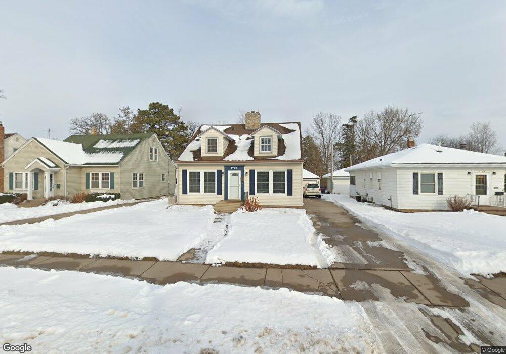
1708 W 5th St Red Wing, MN 55066
Estimated Value: $270,075 - $319,000
4
Beds
2
Baths
1,800
Sq Ft
$162/Sq Ft
Est. Value
About This Home
This home is located at 1708 W 5th St, Red Wing, MN 55066 and is currently estimated at $291,019, approximately $161 per square foot. 1708 W 5th St is a home located in Goodhue County with nearby schools including Sunnyside Elementary School, Burnside Elementary School, and Twin Bluff Middle School.
Ownership History
Date
Name
Owned For
Owner Type
Purchase Details
Closed on
Nov 15, 2021
Sold by
Foos Emily Guida
Bought by
Montgomery Kristen Dorothy and Montgomery Michael Lee
Current Estimated Value
Home Financials for this Owner
Home Financials are based on the most recent Mortgage that was taken out on this home.
Original Mortgage
$173,000
Interest Rate
3.05%
Mortgage Type
New Conventional
Purchase Details
Closed on
May 26, 2017
Sold by
Castner Christopher
Bought by
Foos Emily Guida
Create a Home Valuation Report for This Property
The Home Valuation Report is an in-depth analysis detailing your home's value as well as a comparison with similar homes in the area
Home Values in the Area
Average Home Value in this Area
Purchase History
| Date | Buyer | Sale Price | Title Company |
|---|---|---|---|
| Montgomery Kristen Dorothy | $220,000 | Knight Barry Ttl United Llc | |
| Foos Emily Guida | $182,000 | None Available |
Source: Public Records
Mortgage History
| Date | Status | Borrower | Loan Amount |
|---|---|---|---|
| Previous Owner | Montgomery Kristen Dorothy | $173,000 |
Source: Public Records
Tax History
| Year | Tax Paid | Tax Assessment Tax Assessment Total Assessment is a certain percentage of the fair market value that is determined by local assessors to be the total taxable value of land and additions on the property. | Land | Improvement |
|---|---|---|---|---|
| 2025 | $3,314 | $268,700 | $46,300 | $222,400 |
| 2024 | $3,314 | $264,400 | $46,300 | $218,100 |
| 2023 | $1,645 | $247,900 | $46,300 | $201,600 |
| 2022 | $3,142 | $245,100 | $45,000 | $200,100 |
| 2021 | $3,166 | $210,100 | $45,000 | $165,100 |
| 2020 | $2,904 | $214,500 | $45,000 | $169,500 |
| 2019 | $2,944 | $199,300 | $45,000 | $154,300 |
| 2018 | $2,358 | $203,800 | $45,000 | $158,800 |
| 2017 | $2,302 | $178,500 | $45,000 | $133,500 |
| 2016 | $2,136 | $176,600 | $45,000 | $131,600 |
| 2015 | $2,046 | $172,600 | $45,000 | $127,600 |
| 2014 | -- | $165,500 | $45,000 | $120,500 |
Source: Public Records
Map
Nearby Homes
- 1715 W 5th St
- 1738 W 6th St
- 1528 W 6th St
- 717 Blaine St
- 430 Harrison St
- 1227 W 4th St
- 1130 W 4th St
- 1004 College Ave
- 815 W 4th St
- 1050 Sturtevant St
- 1330 Hillside Dr
- 1348 Hillside Dr
- 617 W 3rd St
- 1108 Hawthorne St
- 1684 Siewert St
- 1020 Hawthorne St
- 222 Bush St Unit 402
- 222 Bush St Unit 302
- 222 Bush St Unit 404
- 222 Bush St Unit 303
- 1702 W 5th St
- 1712 W 5th St
- 1716 W 5th St
- 1722 W 5th St
- 427 Buchanan St
- 417 Buchanan St
- 1707 W 4th St
- 504 Buchanan St Unit 506
- 1726 W 5th St
- 1719 W 4th St
- 1622 W 5th St
- 1622 W 5th St Unit 5
- 512 Buchanan St
- 1721 W 5th St
- 1625 W 4th St
- 1732 W 5th St
- 1625 W 5th St
- 1725 W 4th St
- 1727 1727 5th-Street-w
- 1616 W 5th St
Your Personal Tour Guide
Ask me questions while you tour the home.