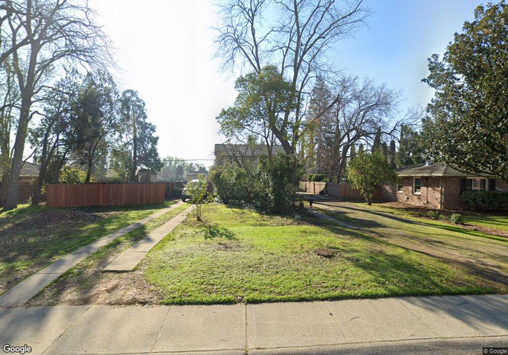
1708 Wentworth Ave Sacramento, CA 95822
South Land Park NeighborhoodEstimated Value: $348,000 - $505,000
2
Beds
1
Bath
850
Sq Ft
$538/Sq Ft
Est. Value
About This Home
This home is located at 1708 Wentworth Ave, Sacramento, CA 95822 and is currently estimated at $456,950, approximately $537 per square foot. 1708 Wentworth Ave is a home located in Sacramento County with nearby schools including Sutterville Elementary School, California Middle, and C. K. McClatchy High.
Ownership History
Date
Name
Owned For
Owner Type
Purchase Details
Closed on
May 16, 1998
Sold by
Gee Nozaki Joy and Gee Bruce R
Bought by
Glaviano Jerry and Glaviano Patricia
Current Estimated Value
Home Financials for this Owner
Home Financials are based on the most recent Mortgage that was taken out on this home.
Original Mortgage
$45,000
Outstanding Balance
$8,770
Interest Rate
7.07%
Mortgage Type
Seller Take Back
Estimated Equity
$448,180
Create a Home Valuation Report for This Property
The Home Valuation Report is an in-depth analysis detailing your home's value as well as a comparison with similar homes in the area
Home Values in the Area
Average Home Value in this Area
Purchase History
| Date | Buyer | Sale Price | Title Company |
|---|---|---|---|
| Glaviano Jerry | $110,000 | Commonwealth Land Title Co |
Source: Public Records
Mortgage History
| Date | Status | Borrower | Loan Amount |
|---|---|---|---|
| Open | Glaviano Jerry | $45,000 |
Source: Public Records
Tax History Compared to Growth
Tax History
| Year | Tax Paid | Tax Assessment Tax Assessment Total Assessment is a certain percentage of the fair market value that is determined by local assessors to be the total taxable value of land and additions on the property. | Land | Improvement |
|---|---|---|---|---|
| 2025 | $4,105 | $346,523 | $175,629 | $170,894 |
| 2024 | $4,105 | $339,730 | $172,186 | $167,544 |
| 2023 | $4,009 | $333,069 | $168,810 | $164,259 |
| 2022 | $3,942 | $326,539 | $165,500 | $161,039 |
| 2021 | $3,756 | $320,137 | $162,255 | $157,882 |
| 2020 | $3,788 | $316,856 | $160,592 | $156,264 |
| 2019 | $3,708 | $310,644 | $157,444 | $153,200 |
| 2018 | $3,612 | $304,554 | $154,357 | $150,197 |
| 2017 | $3,563 | $298,583 | $151,331 | $147,252 |
| 2016 | $3,509 | $292,729 | $148,364 | $144,365 |
| 2015 | $3,458 | $288,333 | $146,136 | $142,197 |
| 2014 | $3,366 | $282,686 | $143,274 | $139,412 |
Source: Public Records
Map
Nearby Homes
- 1810 Opper Ave
- 1428 Tradewinds Ave
- 1432 Oregon Dr
- 4400 Capri Way
- 5531 Michael Way
- 1621 Fruitridge Rd
- 4989 Virginia Way
- 4500 Crestwood Way
- 2117 Fruitridge Rd
- 1433 32nd Ave
- 2225 Irvin Way
- 5200 Pleasant Dr
- 5453 Parish Ct
- 2065 15th Ave
- 2091 15th Ave
- 5440 Pleasant Dr
- 4913 23rd St
- 2123 15th Ave
- 1548 London St
- 4271 Warren Ave
- 1718 Wentworth Ave
- 1700 Wentworth Ave
- 1722 Wentworth Ave
- 1728 Wentworth Ave
- 1701 Potrero Way
- 1725 Potrero Way
- 1626 Wentworth Ave
- 1800 Wentworth Ave
- 4810 Linton Pike
- 1707 Wentworth Ave
- 1801 Potrero Way
- 1705 Wentworth Ave
- 4820 Linton Pike
- 4785 Mead Ave
- 1721 Potrero Way
- 1723 Wentworth Ave
- 1806 Wentworth Ave
- 4828 Linton Pike
- 0 Michele Ln
- 1811 Potrero Way