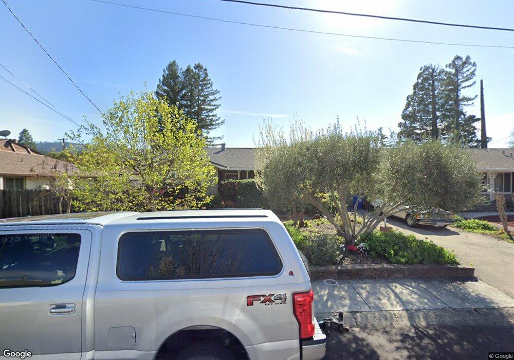
1709 Reynard Ln Calistoga, CA 94515
Estimated Value: $789,815 - $1,057,000
3
Beds
2
Baths
1,278
Sq Ft
$680/Sq Ft
Est. Value
About This Home
This home is located at 1709 Reynard Ln, Calistoga, CA 94515 and is currently estimated at $869,204, approximately $680 per square foot. 1709 Reynard Ln is a home located in Napa County with nearby schools including Calistoga Elementary School and Calistoga Junior/Senior High School.
Ownership History
Date
Name
Owned For
Owner Type
Purchase Details
Closed on
Aug 30, 2005
Sold by
Uschyk Richard W and Uschyk Carol S
Bought by
Uschyk Richard W and Uschyk Carol S
Current Estimated Value
Purchase Details
Closed on
Sep 10, 1997
Sold by
Grauss Grauss Phillip E Phillip E and Barrom Kersten
Bought by
Uschyk Richard W and Uschyk Carol S
Home Financials for this Owner
Home Financials are based on the most recent Mortgage that was taken out on this home.
Original Mortgage
$124,800
Interest Rate
7.45%
Purchase Details
Closed on
Jun 29, 1995
Sold by
Grauss Neneng P and Barrom Robert
Bought by
Grauss Grauss Phillip E Phillip E and Grauss Barrom Kersten
Home Financials for this Owner
Home Financials are based on the most recent Mortgage that was taken out on this home.
Original Mortgage
$90,000
Interest Rate
7.9%
Create a Home Valuation Report for This Property
The Home Valuation Report is an in-depth analysis detailing your home's value as well as a comparison with similar homes in the area
Home Values in the Area
Average Home Value in this Area
Purchase History
| Date | Buyer | Sale Price | Title Company |
|---|---|---|---|
| Uschyk Richard W | -- | -- | |
| Uschyk Richard W | $156,000 | Napa Land Title Company | |
| Grauss Grauss Phillip E Phillip E | -- | First American Title |
Source: Public Records
Mortgage History
| Date | Status | Borrower | Loan Amount |
|---|---|---|---|
| Closed | Uschyk Richard W | $124,800 | |
| Previous Owner | Grauss Grauss Phillip E Phillip E | $90,000 |
Source: Public Records
Tax History Compared to Growth
Tax History
| Year | Tax Paid | Tax Assessment Tax Assessment Total Assessment is a certain percentage of the fair market value that is determined by local assessors to be the total taxable value of land and additions on the property. | Land | Improvement |
|---|---|---|---|---|
| 2024 | $2,967 | $274,362 | $117,394 | $156,968 |
| 2023 | $2,967 | $268,984 | $115,093 | $153,891 |
| 2022 | $2,780 | $263,711 | $112,837 | $150,874 |
| 2021 | $2,692 | $258,541 | $110,625 | $147,916 |
| 2020 | $2,660 | $255,891 | $109,491 | $146,400 |
| 2019 | $2,625 | $250,875 | $107,345 | $143,530 |
| 2018 | $2,590 | $245,957 | $105,241 | $140,716 |
| 2017 | $2,536 | $241,135 | $103,178 | $137,957 |
| 2016 | $2,464 | $236,407 | $101,155 | $135,252 |
| 2015 | $2,434 | $232,857 | $99,636 | $133,221 |
| 2014 | $2,391 | $228,297 | $97,685 | $130,612 |
Source: Public Records
Map
Nearby Homes
- 1705 Adele St
- 1607 Harley St
- Residence 2 Plan at Silverado Terrace
- Residence 3 Plan at Silverado Terrace
- Residence 1 Plan at Silverado Terrace
- 1438 Grant St
- 1437 4th St
- 1431 4th St
- 1422 N Oak St
- 33 Brannan St
- 2103 Oat Hill Ct
- 1411 4th St
- 2115 Oat Hill Ct
- 1929 Mora Ave
- 34 Magnolia Dr
- 33 Magnolia Dr
- 1554 Centennial Cir
- 1610 Myrtle St
- 800 Washington St
- 2551 Grant St