17090 SW Mount Baker Way Powell Butte, OR 97753
Estimated Value: $1,178,309 - $1,248,000
4
Beds
3
Baths
2,733
Sq Ft
$444/Sq Ft
Est. Value
About This Home
This home is located at 17090 SW Mount Baker Way, Powell Butte, OR 97753 and is currently estimated at $1,213,155, approximately $443 per square foot. 17090 SW Mount Baker Way is a home located in Crook County with nearby schools including Crooked River Elementary School, Crook County Middle School, and Crook County High School.
Ownership History
Date
Name
Owned For
Owner Type
Purchase Details
Closed on
Nov 26, 2007
Sold by
Butts Richard E and Butts Patricia A
Bought by
Butts Richard E and Butts Patricia A
Current Estimated Value
Create a Home Valuation Report for This Property
The Home Valuation Report is an in-depth analysis detailing your home's value as well as a comparison with similar homes in the area
Home Values in the Area
Average Home Value in this Area
Purchase History
| Date | Buyer | Sale Price | Title Company |
|---|---|---|---|
| Butts Richard E | -- | None Available |
Source: Public Records
Tax History Compared to Growth
Tax History
| Year | Tax Paid | Tax Assessment Tax Assessment Total Assessment is a certain percentage of the fair market value that is determined by local assessors to be the total taxable value of land and additions on the property. | Land | Improvement |
|---|---|---|---|---|
| 2025 | $7,570 | $623,120 | -- | -- |
| 2024 | $7,388 | $604,980 | -- | -- |
| 2023 | $7,134 | $587,360 | $0 | $0 |
| 2022 | $6,912 | $570,260 | $0 | $0 |
| 2021 | $6,911 | $553,660 | $0 | $0 |
| 2020 | $6,720 | $537,542 | $0 | $0 |
| 2019 | $6,482 | $506,684 | $0 | $0 |
| 2018 | $6,319 | $506,684 | $0 | $0 |
| 2017 | $6,223 | $491,926 | $0 | $0 |
| 2016 | $5,938 | $463,687 | $0 | $0 |
| 2015 | $5,619 | $463,687 | $0 | $0 |
| 2013 | -- | $437,070 | $0 | $0 |
Source: Public Records
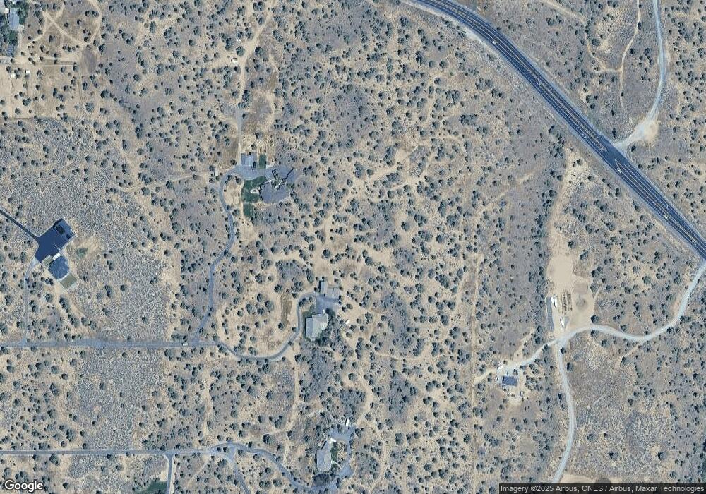
Map
Nearby Homes
- 0 Talarus Tr
- 13501 SW Riggs Rd
- 3068 SW Reif Rd
- 8385 SW Copley Rd
- 165 SW Bent Loop
- 11705 SW Shumway Rd
- 1814 Remington Ranch Dr
- 11039 SW Ranch Rd
- 12855 SW Ayres Ln
- 9280 SW Copley Rd
- 502 SW Bent Loop
- 8956 SW Yahooskin Dr
- 13689 SW Bussett Rd
- 11311 SW Fleming Rd
- 10934 SW Fleming Rd
- 0 SW Reif Rd Unit 220210897
- 7006 SW Joshua Ct
- 6904 SW Joshua Ct
- 0 SW Red Cloud Rd Unit 1356 220203006
- 10300 SW Nicole Dr
- 17090 SW Mount Baker Way
- 17055 SW Mount Mckinley Way
- 17153 SW Mount Baker Way
- 17153 SW Mount Baker Way
- 17162 SW Mount Mckinley Way
- 17162 SW Mt Mckinley Way
- 17320 SW Mount Mckinley Way
- 17227 SW Mount Baker Way
- 17227 SW Mt Baker Way
- 16470 SW Highway 126
- 5932 SW Mount Baker Dr
- 16828 SW Mount Adams Loop
- 16806 SW Mt Adams Loop
- 16806 Mt Adams Loop
- 16806 SW Mount Adams Loop
- 5384 SW Mount Baker Dr
- 5657 SW Mount Baker Dr
- 5657 SW Mt Baker Dr
- 5909 SW Mount Baker Dr