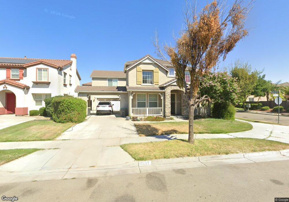
17092 Andover Way Lathrop, CA 95330
Estimated Value: $623,152 - $716,000
4
Beds
3
Baths
2,908
Sq Ft
$235/Sq Ft
Est. Value
About This Home
This home is located at 17092 Andover Way, Lathrop, CA 95330 and is currently estimated at $683,788, approximately $235 per square foot. 17092 Andover Way is a home located in San Joaquin County with nearby schools including Mossdale Elementary School, Lathrop High School, and River Island School of Technology.
Ownership History
Date
Name
Owned For
Owner Type
Purchase Details
Closed on
Apr 30, 2008
Sold by
Bank Of New York
Bought by
Dunn Gary M
Current Estimated Value
Home Financials for this Owner
Home Financials are based on the most recent Mortgage that was taken out on this home.
Original Mortgage
$243,750
Outstanding Balance
$154,366
Interest Rate
5.88%
Mortgage Type
Purchase Money Mortgage
Estimated Equity
$529,422
Purchase Details
Closed on
Nov 13, 2007
Sold by
Montemayor Lionel C
Bought by
Bank Of New York and Cwalt Inc Alternative Loan Trust 2006-Oa
Purchase Details
Closed on
Apr 27, 2006
Sold by
Pulte Home Corp
Bought by
Montemayor Lionel C
Home Financials for this Owner
Home Financials are based on the most recent Mortgage that was taken out on this home.
Original Mortgage
$509,680
Interest Rate
8%
Mortgage Type
Fannie Mae Freddie Mac
Create a Home Valuation Report for This Property
The Home Valuation Report is an in-depth analysis detailing your home's value as well as a comparison with similar homes in the area
Purchase History
| Date | Buyer | Sale Price | Title Company |
|---|---|---|---|
| Dunn Gary M | $325,000 | First American Title Company | |
| Bank Of New York | $416,250 | Landsafe Title | |
| Montemayor Lionel C | $637,500 | Old Republic Title Company |
Source: Public Records
Mortgage History
| Date | Status | Borrower | Loan Amount |
|---|---|---|---|
| Open | Dunn Gary M | $243,750 | |
| Previous Owner | Montemayor Lionel C | $509,680 |
Source: Public Records
Tax History
| Year | Tax Paid | Tax Assessment Tax Assessment Total Assessment is a certain percentage of the fair market value that is determined by local assessors to be the total taxable value of land and additions on the property. | Land | Improvement |
|---|---|---|---|---|
| 2025 | $7,608 | $426,873 | $127,405 | $299,468 |
| 2024 | $7,422 | $418,504 | $124,907 | $293,597 |
| 2023 | $7,223 | $410,299 | $122,458 | $287,841 |
| 2022 | $7,182 | $402,255 | $120,057 | $282,198 |
| 2021 | $7,044 | $394,368 | $117,703 | $276,665 |
| 2020 | $6,840 | $390,326 | $116,497 | $273,829 |
| 2019 | $6,752 | $382,673 | $114,213 | $268,460 |
| 2018 | $6,656 | $375,171 | $111,974 | $263,197 |
| 2017 | $6,559 | $367,816 | $109,779 | $258,037 |
| 2016 | $6,429 | $360,603 | $107,626 | $252,977 |
| 2014 | $5,980 | $333,000 | $99,000 | $234,000 |
Source: Public Records
Map
Nearby Homes
- 523 Danbury Place
- 323 Autumn Rain Dr
- 277 Danbury Place
- 16766 Gold Nugget Trail
- 17359 Stone Celler Way
- 274 Crescent Moon Dr
- 660 Bramblewood Ave
- 16501 Upper Pasture
- 302 Johnson Ferry Rd
- 17791 Farm House Rd
- 17753 Wheat Field St
- 469 Central Pacific St
- 865 Tern Dr
- 958 Shearwater Rd
- 15272 Flycatcher Dr
- 15492 Warbler Place
- 17813 Farm House Rd
- 17881 Moonstone Way
- 17903 Moonstone Way
- 17898 Moonstone Way
- 17074 Andover Way
- 577 Danbury Place
- 17050 Andover Way
- 17101 Pacific Oak Ln
- 587 Alvord Oak Ln
- 559 Danbury Place
- 17097 Andover Way
- 17081 Andover Way
- 582 Millpond Ave
- 17102 Pacific Oak Ln
- 17111 Pacific Oak Ln
- 17103 Andover Way
- 17065 Andover Way
- 17032 Andover Way
- 574 Millpond Ave
- 541 Danbury Place
- 17112 Pacific Oak Ln
- 17121 Andover Way
- 586 Alvord Oak Ln
- 17049 Andover Way
Your Personal Tour Guide
Ask me questions while you tour the home.