17093 White Pine Rd Beaverdam, VA 23015
Estimated Value: $502,006 - $710,000
4
Beds
3
Baths
3,320
Sq Ft
$189/Sq Ft
Est. Value
About This Home
This home is located at 17093 White Pine Rd, Beaverdam, VA 23015 and is currently estimated at $627,502, approximately $189 per square foot. 17093 White Pine Rd is a home located in Hanover County with nearby schools including Beaverdam Elementary School, Liberty Middle School, and Patrick Henry High School.
Ownership History
Date
Name
Owned For
Owner Type
Purchase Details
Closed on
Sep 23, 2004
Sold by
Harman Bradley
Bought by
Williams Gregory
Current Estimated Value
Home Financials for this Owner
Home Financials are based on the most recent Mortgage that was taken out on this home.
Original Mortgage
$263,200
Outstanding Balance
$129,786
Interest Rate
5.81%
Mortgage Type
New Conventional
Estimated Equity
$497,716
Create a Home Valuation Report for This Property
The Home Valuation Report is an in-depth analysis detailing your home's value as well as a comparison with similar homes in the area
Home Values in the Area
Average Home Value in this Area
Purchase History
| Date | Buyer | Sale Price | Title Company |
|---|---|---|---|
| Williams Gregory | $329,000 | -- |
Source: Public Records
Mortgage History
| Date | Status | Borrower | Loan Amount |
|---|---|---|---|
| Open | Williams Gregory | $263,200 |
Source: Public Records
Tax History
| Year | Tax Paid | Tax Assessment Tax Assessment Total Assessment is a certain percentage of the fair market value that is determined by local assessors to be the total taxable value of land and additions on the property. | Land | Improvement |
|---|---|---|---|---|
| 2025 | $3,737 | $461,300 | $127,900 | $333,400 |
| 2024 | $3,737 | $461,300 | $127,900 | $333,400 |
| 2023 | $3,421 | $422,400 | $124,700 | $297,700 |
| 2022 | $2,900 | $358,000 | $101,900 | $256,100 |
| 2021 | $2,668 | $329,400 | $91,800 | $237,600 |
| 2020 | $2,668 | $329,400 | $91,800 | $237,600 |
| 2019 | $2,511 | $310,000 | $90,700 | $219,300 |
| 2018 | $2,511 | $310,000 | $90,700 | $219,300 |
| 2017 | $2,511 | $310,000 | $90,700 | $219,300 |
| 2016 | $2,355 | $290,800 | $87,700 | $203,100 |
| 2015 | $2,355 | $290,800 | $87,700 | $203,100 |
| 2014 | $2,355 | $290,800 | $87,700 | $203,100 |
Source: Public Records
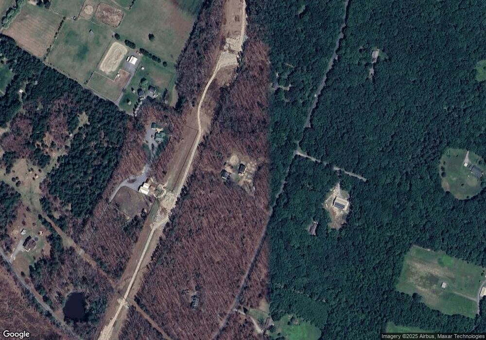
Map
Nearby Homes
- 13003 Sweet Gum St
- 17312 Tiswood Dr
- 17192 Katy Ln
- 12262 Welling Hall Rd
- 13173 Scotchtown Rd
- 16101 Daybreak Ln
- 0 Narrow Path Trail
- 16884 Watchman Way
- 16889 Watchman Way
- 16881 Watchman Way
- 16877 Watchman Way
- 14346 Herdsmans Way
- 16860 Sheppards Fold Way
- 16873 Watchman Way
- 16852 Sheppards Fold Way
- 14349 Herdsmans Way
- 16855 Sheppards Fold Way
- 16851 Sheppards Fold Way
- 16853 Sheppards Fold Way
- 15561 Toread Didd Ln
- 13222 Old Ridge Rd
- 17121 White Pine Rd
- 17084 White Pine Rd
- 17045 White Pine Rd
- 17090 Whitehouse Farm Dr
- 17052 White Pine Rd
- 17140 White Pine Rd
- 17155 White Pine Rd
- 17171 Whitehouse Farm Dr
- 13188 Old Ridge Rd
- 13230 Old Ridge Rd
- 17104 White Pine Rd
- 17158 Whitehouse Farm Dr
- 17160 White Pine Rd
- 17159 Whitehouse Farm Dr
- 17088 Whitehouse Farm Dr
- 17117 Tulip Poplar Rd
- 13189 Old Ridge Rd
- 17094 Whitehouse Farm Dr
- 17080 Whitehouse Farm Dr
Your Personal Tour Guide
Ask me questions while you tour the home.