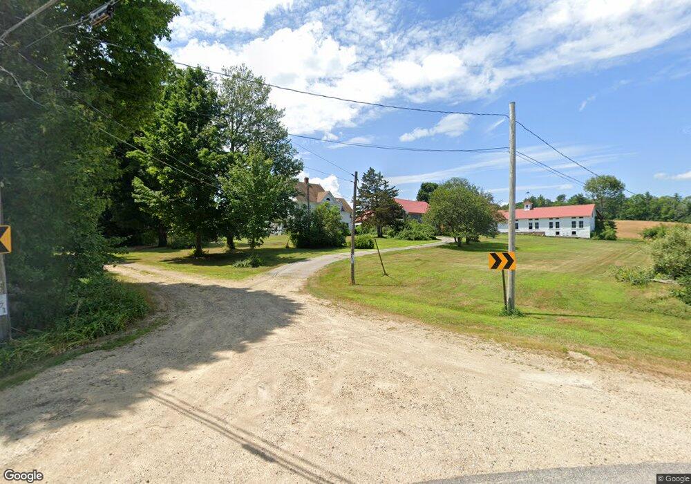
171 1st Crown Point Rd Strafford, NH 03884
Estimated Value: $458,000 - $1,085,000
4
Beds
2
Baths
2,258
Sq Ft
$307/Sq Ft
Est. Value
About This Home
This home is located at 171 1st Crown Point Rd, Strafford, NH 03884 and is currently estimated at $693,951, approximately $307 per square foot. 171 1st Crown Point Rd is a home with nearby schools including Strafford School and Coe-Brown Northwood Academy.
Ownership History
Date
Name
Owned For
Owner Type
Purchase Details
Closed on
Mar 30, 2001
Sold by
Foster Kerry A and Foster Mary H
Bought by
Hyland Terrence D and Hyland Marie E
Current Estimated Value
Home Financials for this Owner
Home Financials are based on the most recent Mortgage that was taken out on this home.
Original Mortgage
$275,000
Outstanding Balance
$100,923
Interest Rate
6.96%
Estimated Equity
$593,028
Create a Home Valuation Report for This Property
The Home Valuation Report is an in-depth analysis detailing your home's value as well as a comparison with similar homes in the area
Home Values in the Area
Average Home Value in this Area
Purchase History
| Date | Buyer | Sale Price | Title Company |
|---|---|---|---|
| Hyland Terrence D | $367,000 | -- |
Source: Public Records
Mortgage History
| Date | Status | Borrower | Loan Amount |
|---|---|---|---|
| Open | Hyland Terrence D | $275,000 |
Source: Public Records
Tax History Compared to Growth
Tax History
| Year | Tax Paid | Tax Assessment Tax Assessment Total Assessment is a certain percentage of the fair market value that is determined by local assessors to be the total taxable value of land and additions on the property. | Land | Improvement |
|---|---|---|---|---|
| 2024 | $7,317 | $370,300 | $77,100 | $293,200 |
| 2023 | $6,902 | $370,300 | $77,100 | $293,200 |
| 2022 | $6,354 | $370,900 | $77,700 | $293,200 |
| 2021 | $6,745 | $365,400 | $77,600 | $287,800 |
| 2020 | $6,007 | $234,200 | $71,800 | $162,400 |
| 2019 | $5,487 | $233,800 | $71,400 | $162,400 |
| 2018 | $5,938 | $251,300 | $71,400 | $179,900 |
| 2016 | $5,347 | $251,600 | $71,700 | $179,900 |
| 2015 | $5,359 | $245,700 | $85,600 | $160,100 |
| 2014 | $5,690 | $245,700 | $85,600 | $160,100 |
| 2013 | -- | $246,800 | $85,800 | $161,000 |
| 2012 | $5,604 | $250,400 | $89,400 | $161,000 |
Source: Public Records
Map
Nearby Homes
- 948 Strafford Rd
- 825 Second Crown Point Rd
- 243 Second Crown Point Rd
- 86 Long Shores Dr
- 38 Strafford Rd
- 68 Berry River Rd
- 0 Long Shores Dr Unit 5057687
- 83 Sloper Rd
- 0 Sloper Rd Unit 6
- 00 Squire Rd
- TBD Merlin Rd
- 8 King Arthur Dr
- 57 Batchelder Ln
- 163 Estes Rd
- 30 Avalon Rd
- Map 220 Lot 16 Four Rod Rd
- 217-13 Washington St
- 212-0003-01 Washington St
- 207-002 Washington St
- 185 Mahala Way
- 175 1st Crown Point Rd
- 167 1st Crown Point Rd
- 162 1st Crown Point Rd
- 162 1st Crown Point Rd
- 149 1st Crown Point Rd
- 121 1st Crown Point Rd
- 213 1st Crown Point Rd
- 192 1st Crown Point Rd
- 145 1st Crown Point Rd
- 210 1st Crown Point Rd
- 210 1st Crown Point Rd
- 227 1st Crown Point Rd
- 137 1st Crown Point Rd
- 234 1st Crown Point Rd
- 132 1st Crown Point Rd
- 119 1st Crown Point Rd
- 24 Crown Point Rd
- 243 1st Crown Point Rd
- 128 1st Crown Point Rd
- 6 Crown Point Rd